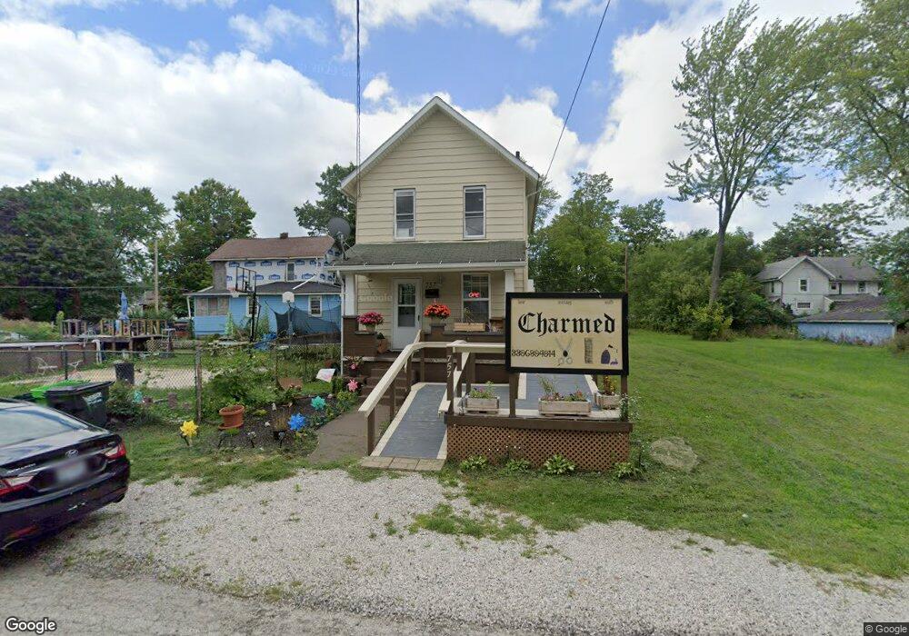
757 Forest Ave Alliance, OH 44601
Estimated Value: $50,000 - $76,000
2
Beds
1
Bath
1,088
Sq Ft
$61/Sq Ft
Est. Value
About This Home
This home is located at 757 Forest Ave, Alliance, OH 44601 and is currently estimated at $66,528, approximately $61 per square foot. 757 Forest Ave is a home located in Stark County with nearby schools including Alliance Elementary School at Rockhill, Alliance Intermediate School at Northside, and Alliance Middle School.
Ownership History
Date
Name
Owned For
Owner Type
Purchase Details
Closed on
Apr 22, 2021
Sold by
Bush Johnny
Bought by
Jamison William
Current Estimated Value
Purchase Details
Closed on
Apr 8, 2021
Sold by
Estate Of Rosie Lee Jamison
Bought by
Jamison William and Bush Johnny
Purchase Details
Closed on
Apr 7, 2021
Sold by
Jamison William
Bought by
King Andrew L and King Ashley L
Purchase Details
Closed on
Nov 12, 1993
Create a Home Valuation Report for This Property
The Home Valuation Report is an in-depth analysis detailing your home's value as well as a comparison with similar homes in the area
Home Values in the Area
Average Home Value in this Area
Purchase History
| Date | Buyer | Sale Price | Title Company |
|---|---|---|---|
| Jamison William | $5,000 | None Available | |
| Jamison William | -- | None Available | |
| King Andrew L | $10,000 | Heritage Union Title Co Ltd | |
| -- | -- | -- |
Source: Public Records
Tax History
| Year | Tax Paid | Tax Assessment Tax Assessment Total Assessment is a certain percentage of the fair market value that is determined by local assessors to be the total taxable value of land and additions on the property. | Land | Improvement |
|---|---|---|---|---|
| 2025 | -- | $5,260 | $1,860 | $3,400 |
| 2024 | -- | $5,260 | $1,860 | $3,400 |
| 2023 | $321 | $7,810 | $1,930 | $5,880 |
| 2022 | $324 | $7,810 | $1,930 | $5,880 |
| 2021 | $324 | $7,810 | $1,930 | $5,880 |
| 2020 | $62 | $10,190 | $1,650 | $8,540 |
| 2019 | $62 | $10,190 | $1,650 | $8,540 |
Source: Public Records
Map
Nearby Homes
- 955 E Summit St
- 935 S Morgan Ave
- 22862 Norman Ave
- 442 S Liberty Ave
- 452 E Summit St
- 1522 Wade Ave
- V/L S Freedom Ave
- 1350 S Freedom Ave
- 726 S Arch Ave
- 834 Devine St
- 234 Rosenberry St
- 231 Rosenberry St
- 226 Milner St
- 1608 S Liberty Ave
- 167 11th St
- 847 E Patterson St
- 134 11th St
- 361 E Main St
- 46 Rosenberry St
- 233 Shadyside Ct
- 751 Forest Ave
- 1136 E Grant St
- 1132 E Grant St
- 1135 E Grant St
- 734 Woodland Ave
- 736 Woodland Ave
- 736 Woodland Ave
- 1104 E Grant St
- 721 Forest Ave
- 1137 E Grant St
- 805 Forest Ave
- 1143 E Summit St
- 825 Forest Ave
- 1113 E Grant St
- 717 Forest Ave
- 755 Woodland Ave
- 1133 E Grant St
- 1103 E Grant St
- 1113 E Summit St
- 1046 E Grant St
Your Personal Tour Guide
Ask me questions while you tour the home.