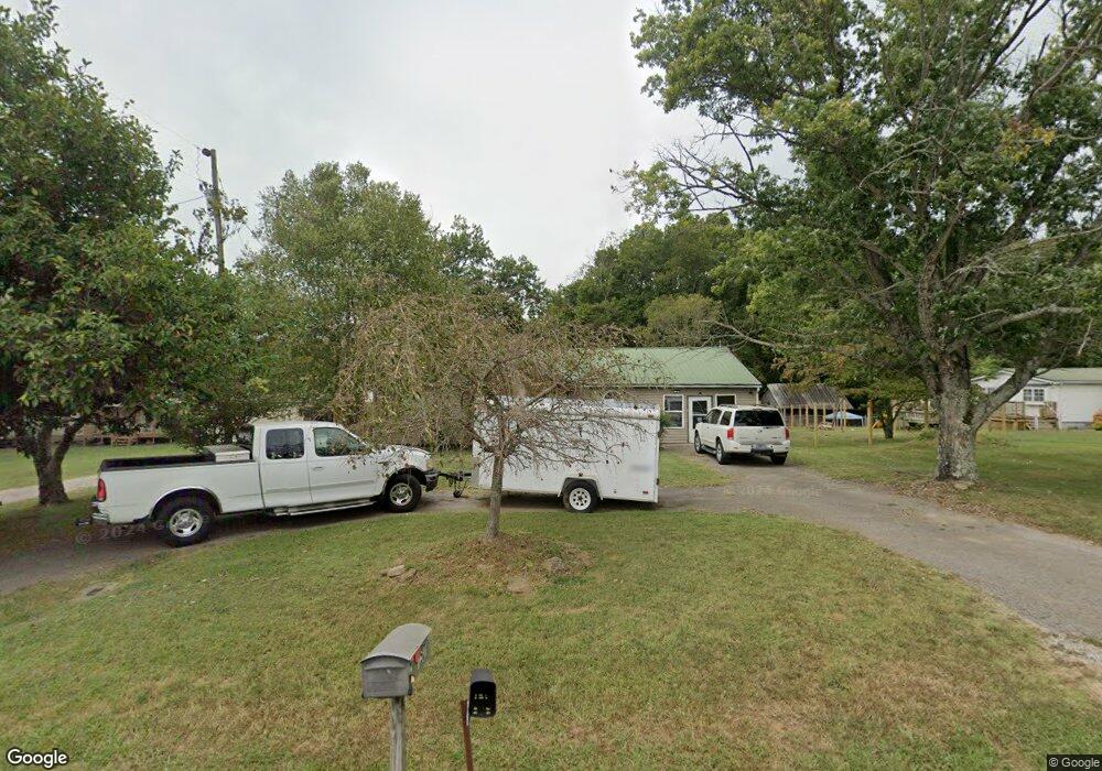
757 Walnut Grove Rd Sparta, TN 38583
Estimated Value: $253,000 - $317,000
3
Beds
3
Baths
2,020
Sq Ft
$140/Sq Ft
Est. Value
About This Home
This home is located at 757 Walnut Grove Rd, Sparta, TN 38583 and is currently estimated at $283,419, approximately $140 per square foot. 757 Walnut Grove Rd is a home located in White County with nearby schools including Northfield Elementary School, White County Middle School, and White County High School.
Ownership History
Date
Name
Owned For
Owner Type
Purchase Details
Closed on
Oct 2, 2020
Sold by
Edwards Byron L and Edwards Rosie J
Bought by
Norris Judy and Norris John
Current Estimated Value
Home Financials for this Owner
Home Financials are based on the most recent Mortgage that was taken out on this home.
Original Mortgage
$171,830
Outstanding Balance
$152,834
Interest Rate
2.9%
Mortgage Type
FHA
Estimated Equity
$130,585
Purchase Details
Closed on
Mar 11, 2020
Sold by
Edwards Byron L and Edwards Rosie J
Bought by
Edwards Byron L and Edwards Rosie J
Purchase Details
Closed on
Mar 14, 2003
Sold by
Daphne Ward
Bought by
Edwards and Rosie
Purchase Details
Closed on
Sep 13, 1994
Bought by
Ward Daphne L
Purchase Details
Closed on
Apr 23, 1990
Bought by
Cravens Jerry and Georgia Ann
Purchase Details
Closed on
Jul 10, 1981
Bought by
White Macon B
Create a Home Valuation Report for This Property
The Home Valuation Report is an in-depth analysis detailing your home's value as well as a comparison with similar homes in the area
Home Values in the Area
Average Home Value in this Area
Purchase History
| Date | Buyer | Sale Price | Title Company |
|---|---|---|---|
| Norris Judy | $175,000 | None Available | |
| Norris Judy | -- | Paramount Title Services Llc | |
| Edwards Byron L | -- | None Available | |
| Edwards Byron L | -- | None Available | |
| Edwards | $42,450 | -- | |
| Ward Daphne L | $35,500 | -- | |
| Cravens Jerry | $38,000 | -- | |
| White Macon B | -- | -- |
Source: Public Records
Mortgage History
| Date | Status | Borrower | Loan Amount |
|---|---|---|---|
| Open | Norris Judy | $171,830 |
Source: Public Records
Tax History Compared to Growth
Tax History
| Year | Tax Paid | Tax Assessment Tax Assessment Total Assessment is a certain percentage of the fair market value that is determined by local assessors to be the total taxable value of land and additions on the property. | Land | Improvement |
|---|---|---|---|---|
| 2024 | $526 | $25,675 | $2,475 | $23,200 |
| 2023 | $526 | $25,675 | $2,475 | $23,200 |
| 2022 | $526 | $25,675 | $2,475 | $23,200 |
| 2021 | $526 | $25,675 | $2,475 | $23,200 |
| 2020 | $534 | $25,675 | $2,475 | $23,200 |
| 2019 | $290 | $14,125 | $2,750 | $11,375 |
| 2018 | $290 | $14,125 | $2,750 | $11,375 |
| 2017 | $290 | $14,125 | $2,750 | $11,375 |
| 2016 | $290 | $14,125 | $2,750 | $11,375 |
| 2015 | $261 | $14,125 | $2,750 | $11,375 |
| 2014 | -- | $14,125 | $2,750 | $11,375 |
| 2013 | -- | $13,675 | $2,750 | $10,925 |
Source: Public Records
Map
Nearby Homes
- 221 Magnolia Rd
- 147 Bob White Dr
- 130 Mallard Dr
- lot 7 James Holman Rd
- lot 6 James Holman Rd
- 1045 Mullican Rd
- 191 Rustling Oaks Dr
- 159 Rustling Oaks Dr
- 0 Saylor Rd
- 00 Saylor Rd
- 366 S Bunker Hill Rd
- 355 Dillon Gribble Rd
- 156 Horseshoe Dr
- 141 Ray Cemetery Rd
- 00 Milk Plant Rd
- 00 Oakcrest Dr
- 215 Walnut Trace
- 1298 S Bunker Hill Rd
- 777 Walnut Grove Rd
- 809 Walnut Grove Rd
- 725 Walnut Grove Rd
- 665 Walnut Grove Rd
- 430 Brookemeade Dr
- 491 Brookemeade Dr
- 505 Brookemeade Dr
- 374 Brookemeade Dr
- 00 Walter Stone Rd
- 00 Walter Stone Rd
- 550 Brookemeade Dr
- 815 Brookemeade Dr
- 578 Walnut Grove Rd Unit 570
- 964 Walnut Grove Rd
- 573 Brookemeade Dr
- 787 Brookemeade Dr
- 731 Brookemeade Dr
- 9/10 AC Brookemeade Dr
- 9/10 Ac Brookemeade Dr
- 2 Lots Brookemeade Dr