7573 Navigator Cir Carlsbad, CA 92011
South Beach NeighborhoodEstimated Value: $1,710,703 - $2,258,000
3
Beds
3
Baths
2,536
Sq Ft
$812/Sq Ft
Est. Value
About This Home
This home is located at 7573 Navigator Cir, Carlsbad, CA 92011 and is currently estimated at $2,059,926, approximately $812 per square foot. 7573 Navigator Cir is a home located in San Diego County with nearby schools including Pacific Rim Elementary, Aviara Oaks Middle, and Carlsbad High School.
Ownership History
Date
Name
Owned For
Owner Type
Purchase Details
Closed on
May 14, 2019
Sold by
Smith Thomas W and Smith Frances
Bought by
Smith Family Trust
Current Estimated Value
Purchase Details
Closed on
Feb 14, 2001
Sold by
Rabourn Owen N and Rabourn Carol F
Bought by
Smith Thomas W and Smith Frances
Purchase Details
Closed on
Oct 27, 2000
Sold by
Rabourn Owen N and Rabourn Carol Bedford
Bought by
Rabourn Owen N and Rabourn Carol Bedford
Purchase Details
Closed on
Jun 28, 1989
Create a Home Valuation Report for This Property
The Home Valuation Report is an in-depth analysis detailing your home's value as well as a comparison with similar homes in the area
Home Values in the Area
Average Home Value in this Area
Purchase History
| Date | Buyer | Sale Price | Title Company |
|---|---|---|---|
| Smith Family Trust | -- | None Available | |
| Smith Thomas W | $550,000 | Equity Title Company | |
| Rabourn Owen N | -- | -- | |
| Rabourn Owen N | -- | -- | |
| -- | $409,900 | -- |
Source: Public Records
Tax History Compared to Growth
Tax History
| Year | Tax Paid | Tax Assessment Tax Assessment Total Assessment is a certain percentage of the fair market value that is determined by local assessors to be the total taxable value of land and additions on the property. | Land | Improvement |
|---|---|---|---|---|
| 2025 | $1,111 | $107,135 | $31,386 | $75,749 |
| 2024 | $1,111 | $105,035 | $30,771 | $74,264 |
| 2023 | $1,103 | $102,976 | $30,168 | $72,808 |
| 2022 | $1,085 | $100,958 | $29,577 | $71,381 |
| 2021 | $1,075 | $98,980 | $28,998 | $69,982 |
| 2020 | $1,068 | $97,966 | $28,701 | $69,265 |
| 2019 | $1,048 | $96,046 | $28,139 | $67,907 |
| 2018 | $1,004 | $94,164 | $27,588 | $66,576 |
| 2017 | $987 | $92,319 | $27,048 | $65,271 |
| 2016 | $946 | $90,510 | $26,518 | $63,992 |
| 2015 | $941 | $89,151 | $26,120 | $63,031 |
| 2014 | $926 | $87,406 | $25,609 | $61,797 |
Source: Public Records
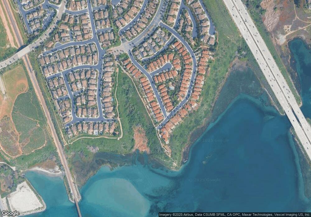
Map
Nearby Homes
- 7313 San Luis St Unit 236
- 2053 W Pearl St
- 2047 W Pearl St
- 2034 W Pearl St
- 2073 E Pearl St
- 2004 W Pearl St
- 2061 E Pearl St
- Wave Plan at The Cove at Encinitas
- 1876 Haymarket Rd
- 1859 Haymarket Rd
- 7236 San Benito St Unit 355
- 7233 San Bartolo St Unit 376
- 7305 San Bartolo St Unit 374
- 7241 San Luis St
- 7313 Santa Barbara St Unit 294
- 7317 Santa Barbara St Unit 292
- 7025 San Bartolo St Unit 42
- 7207 Santa Barbara St Unit 154
- 7008 San Bartolo St Unit 27
- 7002 San Bartolo St Unit 30
- 7571 Navigator Cir
- 7575 Navigator Cir
- 7569 Navigator Cir
- 7577 Navigator Cir
- 7567 Navigator Cir
- 7579 Navigator Cir
- 7574 Navigator Cir
- 7572 Navigator Cir
- 7570 Navigator Cir
- 7576 Navigator Cir
- 7581 Navigator Cir
- 7578 Navigator Cir
- 7580 Navigator Cir
- 7583 Navigator Cir
- 7560 Navigator Cir
- 7582 Navigator Cir
- 7562 Navigator Cir
- 7558 Navigator Cir
- 7585 Navigator Cir
- 7556 Navigator Cir