7587 Ga Highway 133 S Moultrie, GA 31788
Estimated Value: $216,708 - $251,000
--
Bed
2
Baths
2,362
Sq Ft
$98/Sq Ft
Est. Value
About This Home
This home is located at 7587 Ga Highway 133 S, Moultrie, GA 31788 and is currently estimated at $231,903, approximately $98 per square foot. 7587 Ga Highway 133 S is a home located in Colquitt County with nearby schools including Odom Elementary School, Willie J. Williams Middle School, and C.A. Gray Junior High School.
Ownership History
Date
Name
Owned For
Owner Type
Purchase Details
Closed on
Dec 31, 2021
Sold by
Gay Billie C Estate
Bought by
Gay Thomas W and Gay Guythia J
Current Estimated Value
Purchase Details
Closed on
Dec 30, 2021
Sold by
Gay Billie C
Bought by
J & R Baker Farms Llc
Purchase Details
Closed on
Apr 10, 2000
Sold by
Gay Walton S
Bought by
Gay Billie C
Create a Home Valuation Report for This Property
The Home Valuation Report is an in-depth analysis detailing your home's value as well as a comparison with similar homes in the area
Home Values in the Area
Average Home Value in this Area
Purchase History
| Date | Buyer | Sale Price | Title Company |
|---|---|---|---|
| Gay Thomas W | $90,000 | -- | |
| J & R Baker Farms Llc | $2,020,233 | -- | |
| Gay Billie C | -- | -- |
Source: Public Records
Tax History Compared to Growth
Tax History
| Year | Tax Paid | Tax Assessment Tax Assessment Total Assessment is a certain percentage of the fair market value that is determined by local assessors to be the total taxable value of land and additions on the property. | Land | Improvement |
|---|---|---|---|---|
| 2024 | $1,360 | $68,908 | $6,923 | $61,985 |
| 2023 | $1,411 | $56,145 | $6,923 | $49,222 |
| 2022 | $1,157 | $50,587 | $6,154 | $44,433 |
| 2021 | $3,569 | $300,604 | $243,474 | $57,130 |
| 2020 | $3,487 | $297,196 | $243,474 | $53,722 |
| 2019 | $3,643 | $291,039 | $243,474 | $47,565 |
| 2018 | $7,444 | $291,039 | $243,474 | $47,565 |
| 2017 | $3,596 | $277,016 | $224,952 | $52,064 |
| 2016 | $3,584 | $277,016 | $224,952 | $52,064 |
| 2015 | $3,555 | $277,016 | $224,952 | $52,064 |
| 2014 | $3,429 | $277,016 | $224,952 | $52,064 |
| 2013 | -- | $281,056 | $227,797 | $53,259 |
Source: Public Records
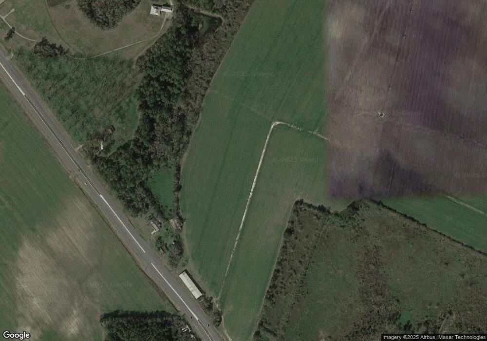
Map
Nearby Homes
- 0 Burton Rd Unit 23760976
- 0 Burton Rd Unit 23669194
- 0 Southerland Ave
- 410 Railroad St
- 8774 Antioch Rd
- 313 Langford St
- 5808 Georgia 133
- 916 Robinson Rd
- 9283 Tallokas Rd Unit 54/13
- 9283 Tallokas Rd
- 693 Old Quitman Annex Rd
- 421 Best Cir
- 1114 Cannon Rd
- 277 Indian Creek Subdivision
- 2275 Old Coffee Rd
- 0 Upper Trail Unit 913421
- 0 Upper Trail Unit 913422
- 16635 Georgia 122
- 289 Arthur Newbern Rd
- 1440 Peach Rd
- 7427 Ga Highway 133 S
- 7427 Ga Highway 133 S
- 7390 Ga Highway 133 S
- 942 Hempstead Church Rd
- 1761 Hempstead Church Rd
- 00 Alderman Road (Part of Mp C058-0022a)
- 2899 Alderman Rd
- 848 Hempstead Church Rd
- 7326 Ga Highway 133 S
- 664 Valdosta Hwy
- 1128 Hempstead Church Rd
- 2924 Alderman Rd
- 1545 Hempstead Church Rd
- 2981 Alderman Rd
- 2767 Alderman Rd
- 660 Valdosta Hwy
- 2958 Alderman Rd
- 565 Hempstead Church Rd
- 1063 Mcallister Rd
- 2635 Alderman Rd