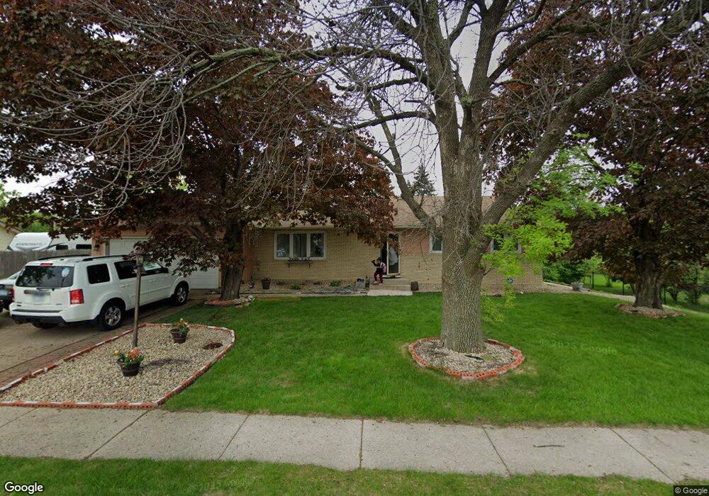
76 150th St W Saint Paul, MN 55124
Old Town NeighborhoodEstimated Value: $381,000 - $408,000
4
Beds
2
Baths
1,452
Sq Ft
$269/Sq Ft
Est. Value
About This Home
This home is located at 76 150th St W, Saint Paul, MN 55124 and is currently estimated at $389,996, approximately $268 per square foot. 76 150th St W is a home located in Dakota County with nearby schools including Cedar Park Elementary STEM School, Valley Middle School, and Apple Valley Senior High School.
Ownership History
Date
Name
Owned For
Owner Type
Purchase Details
Closed on
Oct 31, 2017
Sold by
Teneyuque Robert M and Teneyuque Sandra M
Bought by
Korcha Yenenesh and Teketel Mesfin Tekola
Current Estimated Value
Home Financials for this Owner
Home Financials are based on the most recent Mortgage that was taken out on this home.
Original Mortgage
$232,547
Outstanding Balance
$194,760
Interest Rate
3.83%
Mortgage Type
New Conventional
Estimated Equity
$195,236
Purchase Details
Closed on
Sep 15, 1998
Sold by
Thienes Colleen M and Thienes Richard E
Bought by
Teneyuque Robert M and Teneyuque Sandra M
Create a Home Valuation Report for This Property
The Home Valuation Report is an in-depth analysis detailing your home's value as well as a comparison with similar homes in the area
Home Values in the Area
Average Home Value in this Area
Purchase History
| Date | Buyer | Sale Price | Title Company |
|---|---|---|---|
| Korcha Yenenesh | $245,100 | Burnet Title | |
| Teneyuque Robert M | $131,000 | -- |
Source: Public Records
Mortgage History
| Date | Status | Borrower | Loan Amount |
|---|---|---|---|
| Open | Korcha Yenenesh | $232,547 |
Source: Public Records
Tax History Compared to Growth
Tax History
| Year | Tax Paid | Tax Assessment Tax Assessment Total Assessment is a certain percentage of the fair market value that is determined by local assessors to be the total taxable value of land and additions on the property. | Land | Improvement |
|---|---|---|---|---|
| 2024 | $3,828 | $350,800 | $77,100 | $273,700 |
| 2023 | $3,828 | $342,700 | $77,300 | $265,400 |
| 2022 | $3,334 | $344,300 | $77,000 | $267,300 |
| 2021 | $3,182 | $294,900 | $66,800 | $228,100 |
| 2020 | $3,198 | $276,700 | $63,600 | $213,100 |
| 2019 | $2,786 | $270,300 | $60,600 | $209,700 |
| 2018 | $2,716 | $248,800 | $57,700 | $191,100 |
| 2017 | $2,796 | $233,600 | $55,000 | $178,600 |
| 2016 | $2,681 | $228,600 | $52,300 | $176,300 |
| 2015 | $2,555 | $200,380 | $47,154 | $153,226 |
| 2014 | -- | $192,314 | $45,111 | $147,203 |
| 2013 | -- | $175,855 | $41,108 | $134,747 |
Source: Public Records
Map
Nearby Homes
- 834 Fireside Dr
- 14786 Hallmark Dr
- 14825 Haven Dr
- 841 Cortland Dr
- 921 Cortland Dr S
- 889 Whitney Dr
- 892 Redwell Ln
- 15722 Griffon Ct
- 7616 157th St W Unit D
- 7765 157th St W
- 249 Elm Dr
- 14620 Garrett Ave Unit 310
- 7600 157th St W Unit 105
- 14350 Hickory Way
- 148 Spruce Dr
- 441 Walnut Ln
- 8090 159th St W
- 14242 Glencove Trail
- 15503 Gateway Path Unit 128
- 14208 Heritage Ln
- 72 150th St W
- 863 Haralson Dr
- 84 150th St W
- 867 Haralson Dr
- 859 Haralson Dr
- 68 150th St W
- 871 Haralson Dr
- 855 Haralson Dr
- 88 150th St W
- 62 150th St W
- 875 Haralson Dr
- 851 Haralson Dr
- 862 Haralson Dr
- 92 150th St W
- 858 Haralson Dr
- 866 Haralson Dr
- 60 150th St W
- 854 Haralson Dr
- 870 Haralson Dr
- 847 Haralson Dr