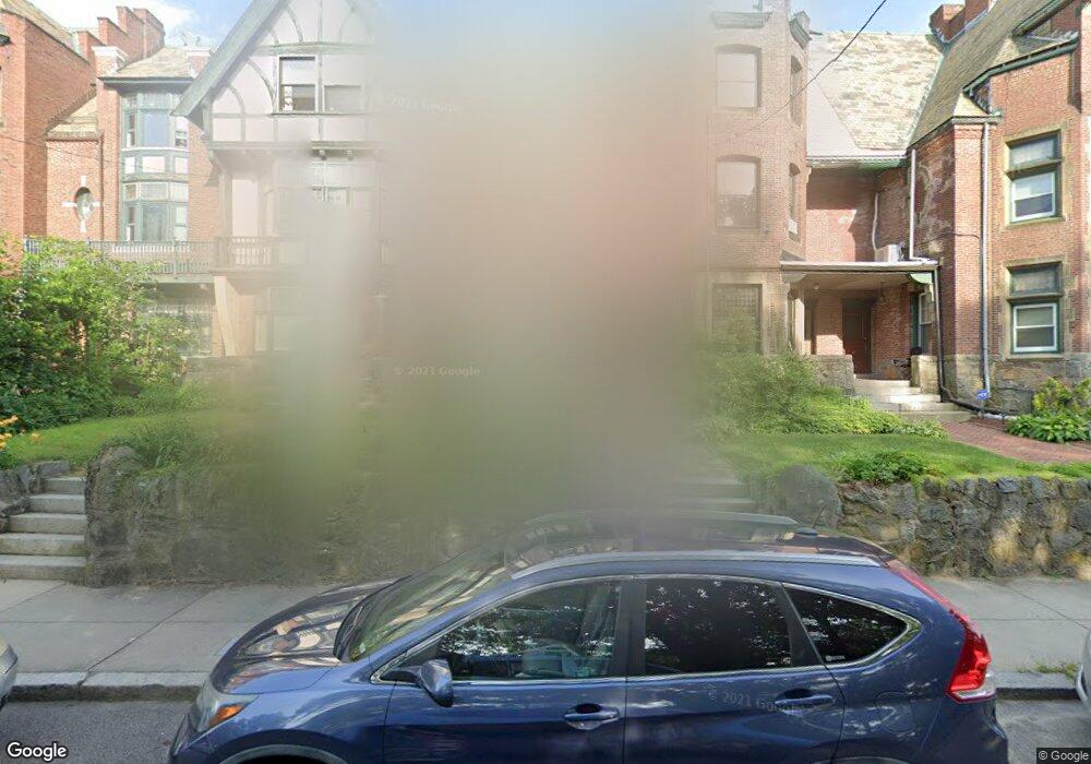
76 Harold St Roxbury, MA 02119
Washington Park NeighborhoodEstimated Value: $865,531 - $1,092,000
4
Beds
2
Baths
3,285
Sq Ft
$298/Sq Ft
Est. Value
About This Home
This home is located at 76 Harold St, Roxbury, MA 02119 and is currently estimated at $979,883, approximately $298 per square foot. 76 Harold St is a home located in Suffolk County with nearby schools including Bridge Boston Charter School and City on a Hill Charter Public School.
Create a Home Valuation Report for This Property
The Home Valuation Report is an in-depth analysis detailing your home's value as well as a comparison with similar homes in the area
Home Values in the Area
Average Home Value in this Area
Tax History Compared to Growth
Tax History
| Year | Tax Paid | Tax Assessment Tax Assessment Total Assessment is a certain percentage of the fair market value that is determined by local assessors to be the total taxable value of land and additions on the property. | Land | Improvement |
|---|---|---|---|---|
| 2025 | $8,070 | $696,900 | $198,900 | $498,000 |
| 2024 | $6,048 | $554,900 | $148,300 | $406,600 |
| 2023 | $5,960 | $554,900 | $148,300 | $406,600 |
| 2022 | $5,643 | $518,700 | $138,600 | $380,100 |
| 2021 | $5,427 | $508,600 | $135,900 | $372,700 |
| 2020 | $4,684 | $443,600 | $124,600 | $319,000 |
| 2019 | $4,369 | $414,500 | $103,600 | $310,900 |
| 2018 | $4,058 | $387,200 | $103,600 | $283,600 |
| 2017 | $4,100 | $387,200 | $103,600 | $283,600 |
| 2016 | $4,057 | $368,800 | $103,600 | $265,200 |
| 2015 | $4,611 | $380,800 | $71,800 | $309,000 |
| 2014 | $4,651 | $369,700 | $71,800 | $297,900 |
Source: Public Records
Map
Nearby Homes
- 151 Townsend St
- 90 Munroe St
- 99 Harrishof St
- 16 Mayfair St
- 8 Brinton St Unit 2
- 28 Wabon St
- 2856 Washington St
- 9 Abbotsford St Unit 1
- 4 Ruthven St
- 4 Wyoming St Unit 2
- 75 Ruthven St
- 94 Walnut Ave
- 495 Warren St
- 476 Warren St
- 7 Waumbeck St Unit 3
- 9-45 Vale St
- 214 Humboldt Ave
- 35-37 Notre Dame St
- 26-28-30 Notre Dame St
- 5 Glenburne St