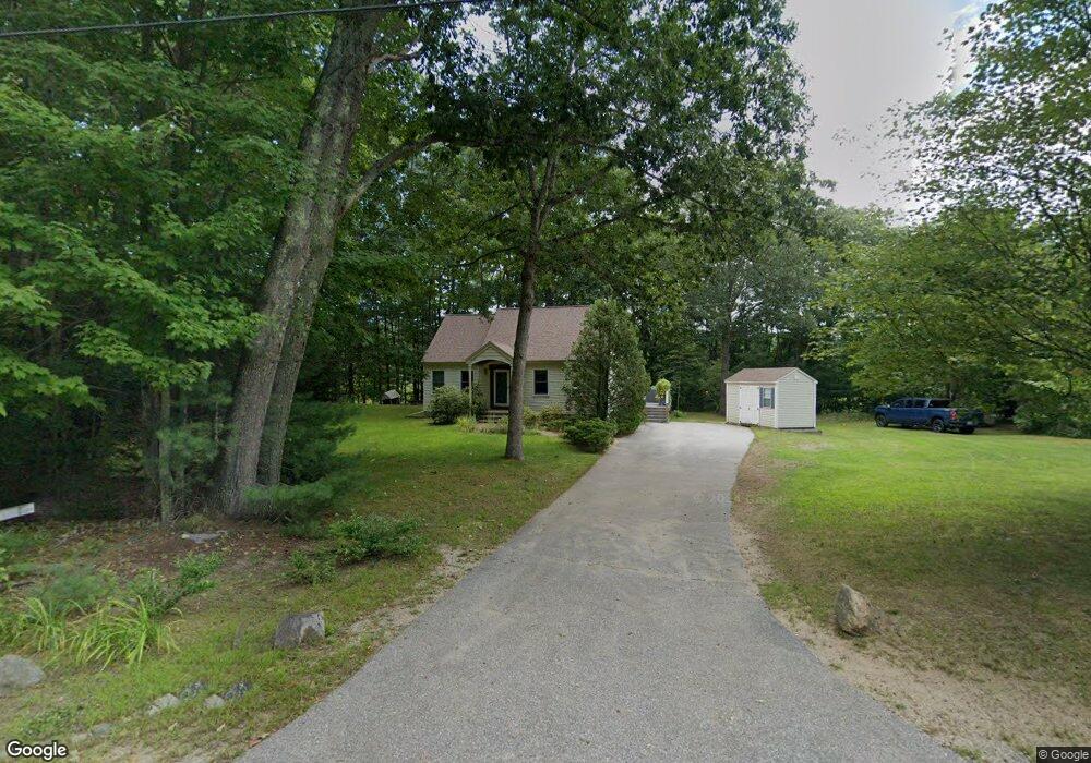
76 Louise Ln Fremont, NH 03044
Estimated Value: $471,365 - $559,000
3
Beds
2
Baths
1,392
Sq Ft
$376/Sq Ft
Est. Value
About This Home
This home is located at 76 Louise Ln, Fremont, NH 03044 and is currently estimated at $523,091, approximately $375 per square foot. 76 Louise Ln is a home located in Rockingham County with nearby schools including Ellis School.
Ownership History
Date
Name
Owned For
Owner Type
Purchase Details
Closed on
Jan 14, 2002
Sold by
Eastwood Philip M
Bought by
Gaffney Charles M and Gaffney Catherine T
Current Estimated Value
Home Financials for this Owner
Home Financials are based on the most recent Mortgage that was taken out on this home.
Original Mortgage
$152,360
Outstanding Balance
$62,261
Interest Rate
7.04%
Estimated Equity
$460,830
Create a Home Valuation Report for This Property
The Home Valuation Report is an in-depth analysis detailing your home's value as well as a comparison with similar homes in the area
Home Values in the Area
Average Home Value in this Area
Purchase History
| Date | Buyer | Sale Price | Title Company |
|---|---|---|---|
| Gaffney Charles M | $190,500 | -- |
Source: Public Records
Mortgage History
| Date | Status | Borrower | Loan Amount |
|---|---|---|---|
| Open | Gaffney Charles M | $152,360 |
Source: Public Records
Tax History Compared to Growth
Tax History
| Year | Tax Paid | Tax Assessment Tax Assessment Total Assessment is a certain percentage of the fair market value that is determined by local assessors to be the total taxable value of land and additions on the property. | Land | Improvement |
|---|---|---|---|---|
| 2024 | $6,474 | $245,500 | $97,000 | $148,500 |
| 2023 | $5,791 | $245,500 | $97,000 | $148,500 |
| 2022 | $5,693 | $245,500 | $97,000 | $148,500 |
| 2021 | $5,446 | $244,000 | $97,000 | $147,000 |
| 2020 | $5,655 | $244,500 | $97,000 | $147,500 |
| 2019 | $6,123 | $197,200 | $77,700 | $119,500 |
| 2018 | $5,688 | $197,200 | $77,700 | $119,500 |
| 2017 | $8,300 | $197,200 | $77,700 | $119,500 |
| 2016 | $5,892 | $197,200 | $77,700 | $119,500 |
| 2015 | $5,719 | $197,200 | $77,700 | $119,500 |
| 2014 | $5,607 | $198,700 | $77,700 | $121,000 |
| 2013 | $5,665 | $198,700 | $77,700 | $121,000 |
Source: Public Records
Map
Nearby Homes
- 564 Main St
- 454 Main St
- 40 Louise Ln
- 98 Copp Dr
- 54 Cavil Mill Rd
- 705 Main St
- 292 Main St
- 16 Currier Ln
- 45 Whittier Dr
- 37 Walker Ln
- 8 Taylor Cir Unit 12
- Lot 7-3 Sanborn Meadow Unit 7-3
- Lot 7-0 Sanborn Meadow Unit 7-0
- Lot 7-2 Sanborn Meadow Unit 7-2
- 118 Hall Rd Unit 3
- 12 Tarah Way
- 9 Byrne Cir Unit 65
- 84 Sandown Rd
- 24 Rim Rd
- 14 River Rd