76 Royal Ln Louisburg, NC 27549
Estimated Value: $538,000 - $781,000
3
Beds
3
Baths
2,282
Sq Ft
$276/Sq Ft
Est. Value
About This Home
This home is located at 76 Royal Ln, Louisburg, NC 27549 and is currently estimated at $629,762, approximately $275 per square foot. 76 Royal Ln is a home located in Franklin County with nearby schools including Royal Elementary School, Bunn Middle School, and Bunn High School.
Ownership History
Date
Name
Owned For
Owner Type
Purchase Details
Closed on
Jan 8, 2008
Sold by
Estate Of Moses Eugene Dunston
Bought by
Briddle Gary Lee and Shahady Briddle Elizabeth
Current Estimated Value
Home Financials for this Owner
Home Financials are based on the most recent Mortgage that was taken out on this home.
Original Mortgage
$342,000
Interest Rate
5.63%
Mortgage Type
Purchase Money Mortgage
Create a Home Valuation Report for This Property
The Home Valuation Report is an in-depth analysis detailing your home's value as well as a comparison with similar homes in the area
Home Values in the Area
Average Home Value in this Area
Purchase History
| Date | Buyer | Sale Price | Title Company |
|---|---|---|---|
| Briddle Gary Lee | $360,000 | None Available |
Source: Public Records
Mortgage History
| Date | Status | Borrower | Loan Amount |
|---|---|---|---|
| Previous Owner | Briddle Gary Lee | $342,000 |
Source: Public Records
Tax History Compared to Growth
Tax History
| Year | Tax Paid | Tax Assessment Tax Assessment Total Assessment is a certain percentage of the fair market value that is determined by local assessors to be the total taxable value of land and additions on the property. | Land | Improvement |
|---|---|---|---|---|
| 2025 | $3,642 | $600,400 | $193,940 | $406,460 |
| 2024 | $3,582 | $600,400 | $193,940 | $406,460 |
| 2023 | $3,116 | $336,770 | $86,730 | $250,040 |
| 2022 | $3,096 | $336,770 | $86,730 | $250,040 |
| 2021 | $3,130 | $336,770 | $86,730 | $250,040 |
| 2020 | $3,149 | $336,770 | $86,730 | $250,040 |
| 2019 | $2,982 | $336,770 | $86,730 | $250,040 |
| 2018 | $3,094 | $336,770 | $86,730 | $250,040 |
| 2017 | $3,210 | $318,430 | $73,590 | $244,840 |
| 2016 | $3,320 | $318,430 | $73,590 | $244,840 |
| 2015 | $3,320 | $318,430 | $73,590 | $244,840 |
| 2014 | $3,103 | $318,430 | $73,590 | $244,840 |
Source: Public Records
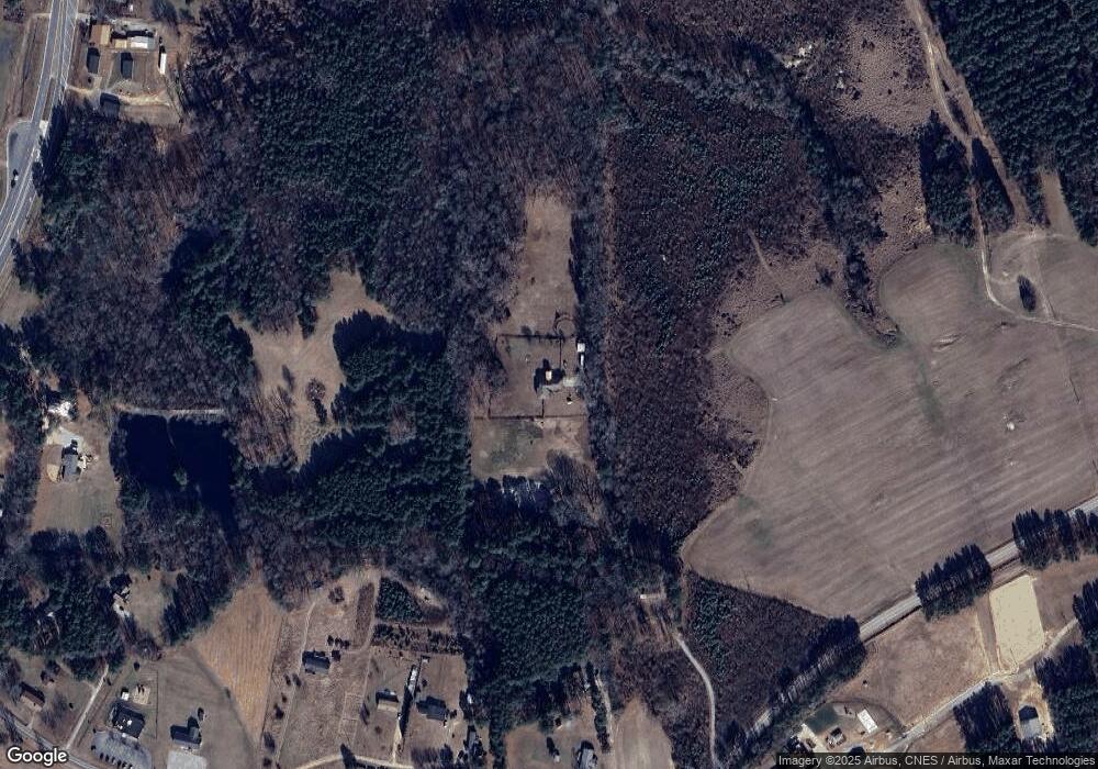
Map
Nearby Homes
- 3986 US 401 Hwy S
- 100 Cedarwood Dr
- 180 Normandy Rd
- 35 Courtland Dr
- 470 Flat Rock Church Rd
- 140 Bramble Ct
- 116 Thistle Dr
- 115 Parkers Gate Dr
- 43.76 Acre Huntsburg Dr
- 70 Rough Ln
- 105 Teal Dr
- 45 Horsecreek Rd
- 220 Kingfisher Way
- 150 S Creek Dr
- 225 Whistlers Cove
- 190 Whistlers Cove
- 136 Creek Dr
- 87 Beaver Ct
- 30 Watermelon Dr
- 35 Watermelon Dr
- 51 Royal Ln
- 49 Royal Ln
- 70 Royal Ln
- 59 Wileys Dr
- 69 Wileys Dr
- 21 Wileys Dr
- 227 Clifton Pond Rd
- 237 Clifton Pond Rd
- 93 Clifton Pond Rd
- 3735 Us 401 Hwy S
- 184 Clifton Pond Rd
- 103 Shannon Ridge Ct
- 106 Shannon Ridge Ct
- 91 Clifton Pond Rd
- 3665 Us 401 Hwy S
- 3777 Us 401 Hwy S
- 3777 U S 401 Hwy S
- 3653 Us 401 Hwy S
- 3653 Us 401 Hwy S
- 81 Clifton Pond Rd