76 West Point Rd Moultonborough, NH 03254
Estimated Value: $3,800,750 - $3,888,000
4
Beds
3
Baths
1,958
Sq Ft
$1,963/Sq Ft
Est. Value
About This Home
This home is located at 76 West Point Rd, Moultonborough, NH 03254 and is currently estimated at $3,844,375, approximately $1,963 per square foot. 76 West Point Rd is a home located in Carroll County with nearby schools including Moultonborough Central School and Moultonborough Academy High School.
Create a Home Valuation Report for This Property
The Home Valuation Report is an in-depth analysis detailing your home's value as well as a comparison with similar homes in the area
Home Values in the Area
Average Home Value in this Area
Tax History Compared to Growth
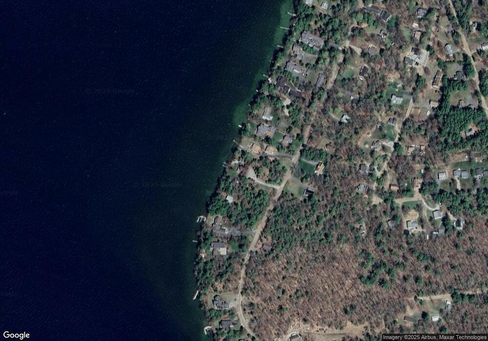
Map
Nearby Homes
- 10 Woodridge Rd
- 167 Long Island Rd
- 16 Long Island Rd
- 00 Rivers Rd
- 00 Beede Rd
- 9 Starboard Ln Unit 1
- 31 Rays Way
- 14 Island View Dr
- 5 Ferry Rd
- 7 Flint Dr
- 29 Kona Farm Rd
- 323 Governor Wentworth Hwy
- 4 Mill Pond Rd
- 27 First Point Rd
- 21 Orton Ln
- 30 Leopards Leap
- 22 Tiger Trail
- 24 Shirley Way
- 11 Geery Ln
- 9 Lady Slipper Ln
- 76 W Point Rd
- 80 West Point Rd
- 70 West Point Rd
- 66 West Point Rd
- 75 W Point Rd
- 75 West Point Rd
- 71 West Point Rd
- 64 W Point Rd
- 85 W Point Rd
- 88 W Point Rd
- 88 West Point Rd
- 69 West Point Rd
- 62 West Point Rd
- 61 West Point Rd
- 61 W Point Rd
- 1 Devens Island
- 64 Woodrin Rd
- 62 Woodrin Rd
- 58 W Point Rd
- 59 W Point Rd