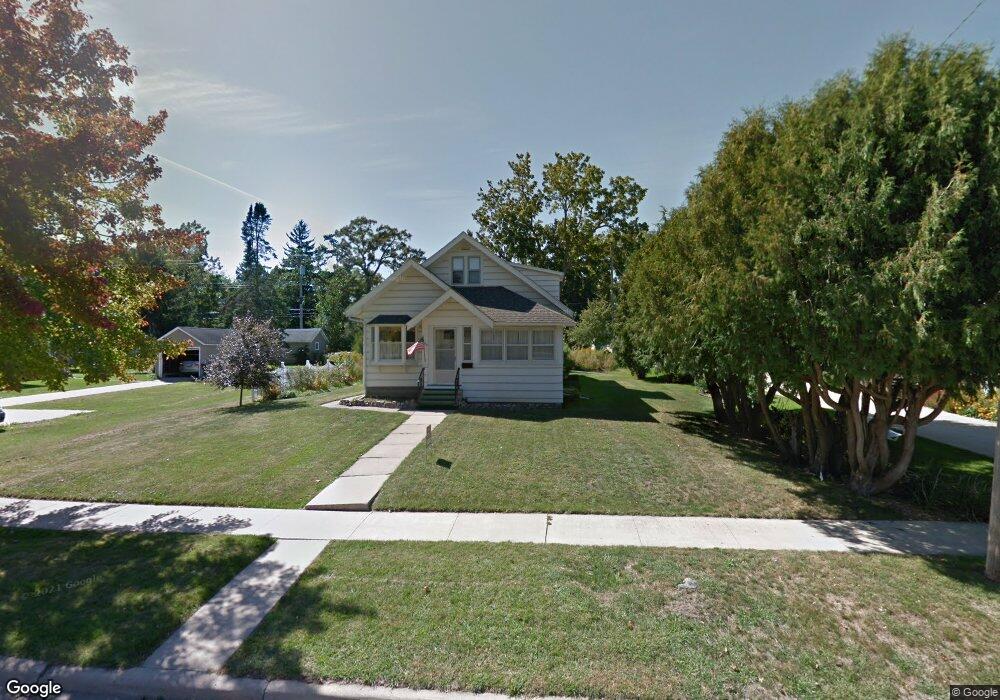
760 Bluff Ave Saint Charles, MN 55972
Estimated Value: $197,098 - $246,000
4
Beds
2
Baths
1,228
Sq Ft
$178/Sq Ft
Est. Value
About This Home
This home is located at 760 Bluff Ave, Saint Charles, MN 55972 and is currently estimated at $219,025, approximately $178 per square foot. 760 Bluff Ave is a home located in Winona County with nearby schools including St. Charles Elementary School and St. Charles Secondary School.
Ownership History
Date
Name
Owned For
Owner Type
Purchase Details
Closed on
Mar 11, 2016
Sold by
Bebout Merritt Merritt
Bought by
Williams Bryan Bryan
Current Estimated Value
Home Financials for this Owner
Home Financials are based on the most recent Mortgage that was taken out on this home.
Original Mortgage
$96,500
Outstanding Balance
$75,406
Interest Rate
3.68%
Estimated Equity
$143,619
Create a Home Valuation Report for This Property
The Home Valuation Report is an in-depth analysis detailing your home's value as well as a comparison with similar homes in the area
Home Values in the Area
Average Home Value in this Area
Purchase History
| Date | Buyer | Sale Price | Title Company |
|---|---|---|---|
| Williams Bryan Bryan | $96,500 | -- |
Source: Public Records
Mortgage History
| Date | Status | Borrower | Loan Amount |
|---|---|---|---|
| Open | Williams Bryan Bryan | $96,500 |
Source: Public Records
Tax History
| Year | Tax Paid | Tax Assessment Tax Assessment Total Assessment is a certain percentage of the fair market value that is determined by local assessors to be the total taxable value of land and additions on the property. | Land | Improvement |
|---|---|---|---|---|
| 2025 | $1,724 | $165,500 | $35,800 | $129,700 |
| 2024 | $1,724 | $163,600 | $35,500 | $128,100 |
| 2023 | $1,466 | $166,000 | $35,500 | $130,500 |
| 2022 | $1,346 | $144,900 | $32,800 | $112,100 |
| 2021 | $1,140 | $129,300 | $29,800 | $99,500 |
| 2020 | $1,152 | $116,200 | $25,600 | $90,600 |
| 2019 | $916 | $116,200 | $25,600 | $90,600 |
| 2018 | $778 | $102,500 | $22,600 | $79,900 |
| 2017 | $688 | $0 | $0 | $0 |
| 2016 | $676 | $0 | $0 | $0 |
| 2015 | $676 | $0 | $0 | $0 |
| 2014 | $568 | $0 | $0 | $0 |
Source: Public Records
Map
Nearby Homes
- 431 E 13th St
- 149 E 5th St
- 1324 Sunset Dr
- 1512 Whitewater Ave
- 1397 Soppa Dr
- 413 Northern Hills Ct
- 1113 Oakview Dr
- 240 Northern Hills Dr
- TDB Oakview Dr
- 416 Brubaker Dr
- 533 Manheim Ave
- 206 Kieffer Hills Dr
- 210 Industrial Park Dr NW
- 211 Industrial Park Dr
- 212 Industrial Park Dr NW
- 209 Industrial Park Dr NW
- 1542 Rimrock Rd
- tbd Roberts St
- 1942 Brownell St
- 1955 Brownell St
Your Personal Tour Guide
Ask me questions while you tour the home.