7600 State Route 48 Waynesville, OH 45068
Clearcreek Township NeighborhoodEstimated Value: $617,079
2
Beds
14
Baths
14,584
Sq Ft
$42/Sq Ft
Est. Value
About This Home
This home is located at 7600 State Route 48, Waynesville, OH 45068 and is currently priced at $617,079, approximately $42 per square foot. 7600 State Route 48 is a home located in Warren County with nearby schools including Clearcreek Elementary School, Springboro Intermediate School, and Springboro Junior High School.
Ownership History
Date
Name
Owned For
Owner Type
Purchase Details
Closed on
Apr 23, 1992
Sold by
Bowling J. Michael and Michael J
Bought by
Mccloud and Mccloud David R
Current Estimated Value
Purchase Details
Closed on
May 24, 1989
Sold by
Bowling Bowling and Bowling J. Michael
Bought by
Bowling Bowling and Bowling J. Michael
Purchase Details
Closed on
Sep 15, 1986
Sold by
Yavuz Ferit I and Yavuz Mualla
Bought by
Bowling and Michael J
Purchase Details
Closed on
Feb 4, 1980
Sold by
Williams & Kimpton E & Re
Create a Home Valuation Report for This Property
The Home Valuation Report is an in-depth analysis detailing your home's value as well as a comparison with similar homes in the area
Home Values in the Area
Average Home Value in this Area
Purchase History
| Date | Buyer | Sale Price | Title Company |
|---|---|---|---|
| Mccloud | $142,900 | -- | |
| Bowling Bowling | -- | -- | |
| Bowling | $95,000 | -- | |
| -- | $90,000 | -- |
Source: Public Records
Tax History Compared to Growth
Tax History
| Year | Tax Paid | Tax Assessment Tax Assessment Total Assessment is a certain percentage of the fair market value that is determined by local assessors to be the total taxable value of land and additions on the property. | Land | Improvement |
|---|---|---|---|---|
| 2024 | $10,439 | $214,350 | $76,190 | $138,160 |
| 2023 | $9,163 | $182,322 | $69,265 | $113,057 |
| 2022 | $9,175 | $182,322 | $69,265 | $113,057 |
| 2021 | $8,807 | $182,322 | $69,265 | $113,057 |
| 2020 | $9,674 | $182,322 | $69,265 | $113,057 |
| 2019 | $9,189 | $182,322 | $69,265 | $113,057 |
| 2018 | $9,189 | $182,322 | $69,265 | $113,057 |
| 2017 | $9,525 | $181,479 | $69,265 | $112,214 |
| 2016 | $10,003 | $181,479 | $69,265 | $112,214 |
| 2015 | $10,075 | $181,479 | $69,265 | $112,214 |
| 2014 | $10,075 | $181,480 | $69,270 | $112,210 |
| 2013 | $10,095 | $181,480 | $69,270 | $112,210 |
Source: Public Records
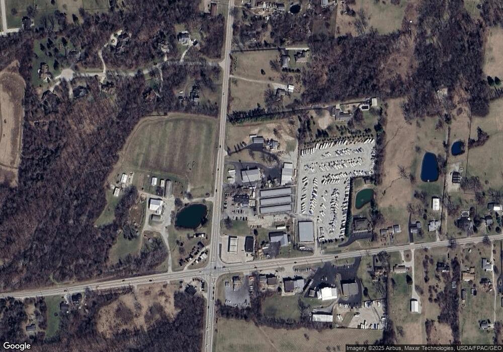
Map
Nearby Homes
- 1744 Harlan Rd
- 7510 Country Brook Ct
- 7491 Country Brook Ct
- 8234 Voltaire Ct
- 0 White Cedar Way Unit 1818661
- 2814 Station House Way
- 441 Ohio 73
- 441 E State Route 73
- 7476 Waterway Dr
- 1009 Highpoint Dr
- 7660 Horizon Hill Dr
- 849 Wind Bluff Point
- 7498 Majestic Trail
- 639 Birchcreek Way
- 7940 Bunnell Hill Rd
- 8455 London Ct
- 0 Township Line Rd Unit 944079
- 8479 London Ct
- 7 Cumberland Ct
- 3 Cumberland Ct
- 1600 E State Route 73
- 7700 State Route 48
- 1525 Ohio 73
- 1525 E State Route 73
- 1525 E State Route 73
- 7670 State Route 48
- 1555 E State Route 73
- 7730 State Route 48
- 1664 E St Rt 73
- 1664 E State Route 73
- 1399 Timber Ridge Ct
- 7750 State Route 48
- 1694 E State Route 73
- 1450 Timber Ridge Ct
- 1427 E State Route 73
- 1414 Timber Ridge Ct
- 1685 E State Route 73
- 1361 Timber Ridge Ct
- 7777 State Route 48
- 7777 State Route 48 Unit 3