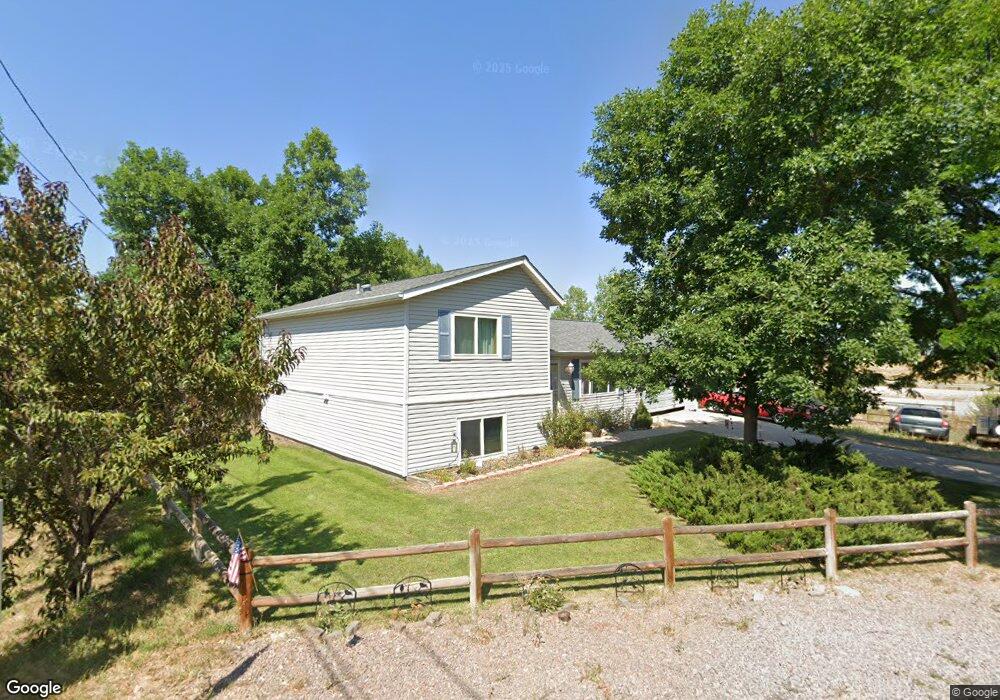
7607 W Brook Dr Littleton, CO 80128
Meadowbrook Heights NeighborhoodEstimated Value: $552,503 - $597,000
4
Beds
3
Baths
1,072
Sq Ft
$538/Sq Ft
Est. Value
About This Home
This home is located at 7607 W Brook Dr, Littleton, CO 80128 and is currently estimated at $576,876, approximately $538 per square foot. 7607 W Brook Dr is a home located in Jefferson County with nearby schools including Coronado Elementary School, Falcon Bluffs Middle School, and Chatfield High School.
Ownership History
Date
Name
Owned For
Owner Type
Purchase Details
Closed on
Oct 14, 1999
Sold by
Posey Leann M Roenfeldt George A
Bought by
Bell David A
Current Estimated Value
Home Financials for this Owner
Home Financials are based on the most recent Mortgage that was taken out on this home.
Original Mortgage
$168,712
Outstanding Balance
$51,058
Interest Rate
7.86%
Mortgage Type
FHA
Estimated Equity
$525,818
Create a Home Valuation Report for This Property
The Home Valuation Report is an in-depth analysis detailing your home's value as well as a comparison with similar homes in the area
Home Values in the Area
Average Home Value in this Area
Purchase History
| Date | Buyer | Sale Price | Title Company |
|---|---|---|---|
| Bell David A | $169,900 | -- |
Source: Public Records
Mortgage History
| Date | Status | Borrower | Loan Amount |
|---|---|---|---|
| Open | Bell David A | $168,712 |
Source: Public Records
Tax History Compared to Growth
Tax History
| Year | Tax Paid | Tax Assessment Tax Assessment Total Assessment is a certain percentage of the fair market value that is determined by local assessors to be the total taxable value of land and additions on the property. | Land | Improvement |
|---|---|---|---|---|
| 2024 | $2,819 | $30,055 | $11,486 | $18,569 |
| 2023 | $2,819 | $30,055 | $11,486 | $18,569 |
| 2022 | $2,550 | $25,243 | $7,903 | $17,340 |
| 2021 | $2,586 | $25,969 | $8,130 | $17,839 |
| 2020 | $2,364 | $23,870 | $7,407 | $16,463 |
| 2019 | $2,347 | $23,870 | $7,407 | $16,463 |
| 2018 | $2,104 | $21,470 | $6,664 | $14,806 |
| 2017 | $2,050 | $21,470 | $6,664 | $14,806 |
| 2016 | $1,806 | $18,287 | $6,331 | $11,956 |
| 2015 | $1,581 | $18,287 | $6,331 | $11,956 |
| 2014 | $1,581 | $14,962 | $5,561 | $9,401 |
Source: Public Records
Map
Nearby Homes
- 7667 W Brook Dr
- 8674 S Yukon St
- 8547 S Upham Way
- 8595 S Yarrow St
- 8705 S Yarrow St
- 8536 S Upham Way
- 8400 S Upham Way Unit F27
- 8378 S Upham Way Unit B-305
- 8371 S Upham Way Unit 208
- 8371 S Upham Way Unit 207
- 8361 S Upham Way Unit 209
- 8360 S Zephyr St
- 8700 S Ammons St
- 8337 S Upham Way Unit 209
- 8337 S Upham Way Unit 211
- 8367 S Zephyr St
- 6995 W Payne Ave
- 8331 S Upham Way Unit 106
- 8321 S Upham Way Unit 2208
- 8165 W Stene Dr
- 7637 W Brook Dr
- 7620 W Meadow Dr
- 7634 W Brook Dr
- 7624 W Brook Dr
- 7647 W Brook Dr
- 7630 W Meadow Dr
- 8612 S Wadsworth Ct
- 7646 W Brook Dr
- 8622 S Wadsworth Ct
- 8625 S Wadsworth Ct
- 7640 W Meadow Dr
- 8545 S Wadsworth Blvd
- 8632 S Wadsworth Ct
- 8594 S Yukon St
- 8604 S Yukon St
- 7660 W Meadow Dr
- 8532 S Wadsworth Ct
- 8525 S Wadsworth Blvd
- 7687 W Brook Dr
- 8643 S Wadsworth Ct