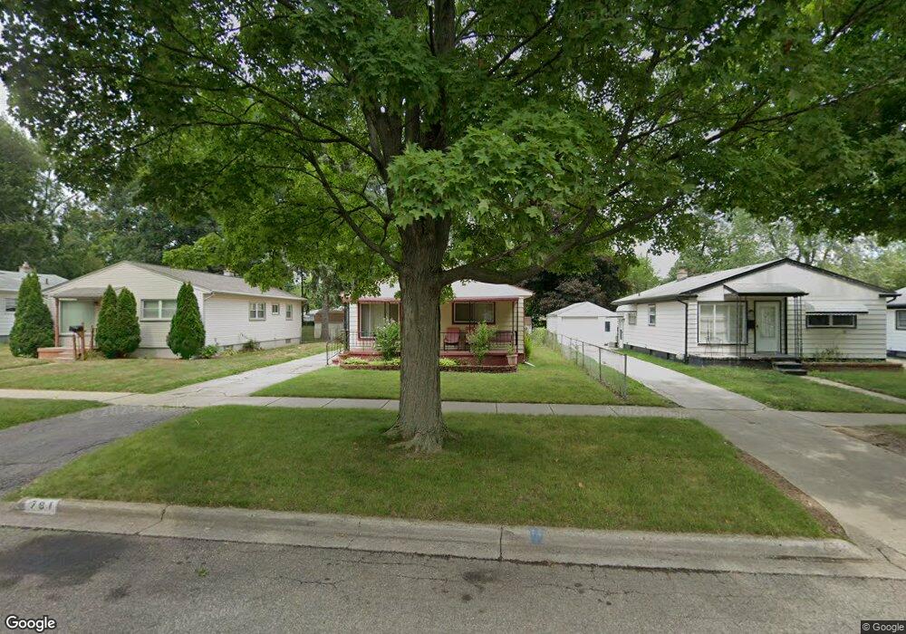
761 1st Ave Pontiac, MI 48340
Estimated Value: $151,748 - $184,000
3
Beds
1
Bath
1,000
Sq Ft
$174/Sq Ft
Est. Value
About This Home
This home is located at 761 1st Ave, Pontiac, MI 48340 and is currently estimated at $173,687, approximately $173 per square foot. 761 1st Ave is a home located in Oakland County with nearby schools including Owen Elementary School, Pontiac Middle School, and Pontiac High School.
Ownership History
Date
Name
Owned For
Owner Type
Purchase Details
Closed on
Dec 9, 2011
Sold by
Oakland County Treasurer
Bought by
Bac Tax Services Corp 214107346
Current Estimated Value
Purchase Details
Closed on
Feb 4, 2009
Sold by
Everhome Mortgage Company
Bought by
Federal National Mortgage Association
Purchase Details
Closed on
Feb 3, 2009
Sold by
Baird Tommy L and Baird Sarah M
Bought by
Everhome Mortgage Company
Purchase Details
Closed on
Feb 13, 2003
Sold by
Hart Walter D and The Walter Everett Hart
Bought by
Baird Tommy L and Baird Sarah M
Create a Home Valuation Report for This Property
The Home Valuation Report is an in-depth analysis detailing your home's value as well as a comparison with similar homes in the area
Home Values in the Area
Average Home Value in this Area
Purchase History
| Date | Buyer | Sale Price | Title Company |
|---|---|---|---|
| Bac Tax Services Corp 214107346 | $990 | None Available | |
| Federal National Mortgage Association | -- | None Available | |
| Everhome Mortgage Company | $112,030 | None Available | |
| Baird Tommy L | $116,000 | Metropolitan Title Company |
Source: Public Records
Tax History Compared to Growth
Tax History
| Year | Tax Paid | Tax Assessment Tax Assessment Total Assessment is a certain percentage of the fair market value that is determined by local assessors to be the total taxable value of land and additions on the property. | Land | Improvement |
|---|---|---|---|---|
| 2024 | $630 | $46,300 | $0 | $0 |
| 2023 | $601 | $41,440 | $0 | $0 |
| 2022 | $647 | $36,470 | $0 | $0 |
| 2021 | $1,022 | $32,040 | $0 | $0 |
| 2020 | $546 | $29,560 | $0 | $0 |
| 2019 | $604 | $25,780 | $0 | $0 |
| 2018 | $574 | $22,390 | $0 | $0 |
| 2017 | $547 | $21,570 | $0 | $0 |
| 2016 | $574 | $19,060 | $0 | $0 |
| 2015 | -- | $16,480 | $0 | $0 |
| 2014 | -- | $14,300 | $0 | $0 |
| 2011 | -- | $22,150 | $0 | $0 |
Source: Public Records
Map
Nearby Homes
- 731 1st Ave
- 675 E Beverly Ave
- 778 4th Ave
- 686 4th Ave
- 720 E Columbia Ave
- 794 Clara Ave
- 614 E Tennyson Ave
- 630 E Madison Ave
- 683 Clara Ave
- 686 Peacock Ave
- 627 Wesbrook St
- 663 Lenox Ave
- 821 Robinwood St
- 620 Wesbrook St
- 583 Wesbrook St
- 790 Parkwood Ave
- 973 Kettering Ave
- 1218 Galloway Cir
- 667 Raskob St
- 1336 Ridgeway Blvd