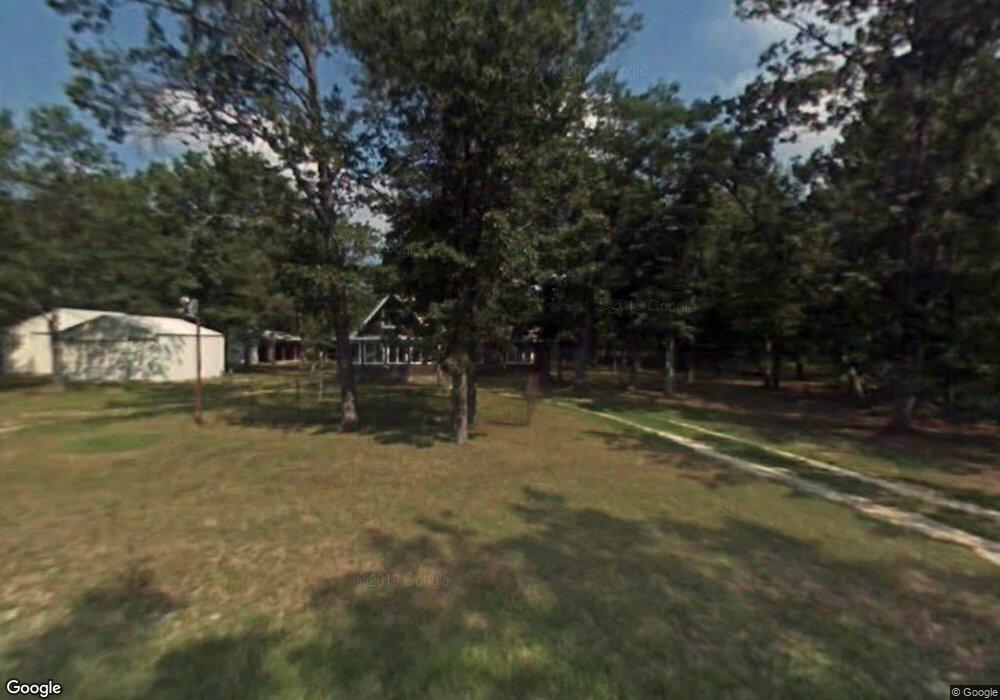
7610 Cedar Rd South Branch, MI 48761
Estimated Value: $163,000 - $254,000
2
Beds
--
Bath
1,200
Sq Ft
$161/Sq Ft
Est. Value
About This Home
This home is located at 7610 Cedar Rd, South Branch, MI 48761 and is currently estimated at $193,726, approximately $161 per square foot. 7610 Cedar Rd is a home located in Iosco County with nearby schools including Hale Elementary/Middle School and Hale High School.
Ownership History
Date
Name
Owned For
Owner Type
Purchase Details
Closed on
Jun 5, 2019
Sold by
Lowe Ralph D
Bought by
Lowe Ralph D
Current Estimated Value
Home Financials for this Owner
Home Financials are based on the most recent Mortgage that was taken out on this home.
Original Mortgage
$76,000
Outstanding Balance
$66,687
Interest Rate
4%
Mortgage Type
New Conventional
Estimated Equity
$127,039
Purchase Details
Closed on
Aug 21, 2013
Sold by
Pearson Barbara A
Bought by
Pearson Barbara A and Lowe Ralph D
Purchase Details
Closed on
Jun 21, 2009
Sold by
Pearson Betty L
Bought by
Pearson Barbara A
Create a Home Valuation Report for This Property
The Home Valuation Report is an in-depth analysis detailing your home's value as well as a comparison with similar homes in the area
Home Values in the Area
Average Home Value in this Area
Purchase History
| Date | Buyer | Sale Price | Title Company |
|---|---|---|---|
| Pearson Barbara A | -- | -- | |
| Pearson Barbara A | -- | -- | |
| Lowe Ralph D | -- | -- |
Source: Public Records
Mortgage History
| Date | Status | Borrower | Loan Amount |
|---|---|---|---|
| Open | Lowe Ralph D | $76,000 |
Source: Public Records
Tax History Compared to Growth
Tax History
| Year | Tax Paid | Tax Assessment Tax Assessment Total Assessment is a certain percentage of the fair market value that is determined by local assessors to be the total taxable value of land and additions on the property. | Land | Improvement |
|---|---|---|---|---|
| 2025 | $947 | $66,700 | $66,700 | $0 |
| 2024 | $908 | $60,500 | $0 | $0 |
| 2023 | $436 | $50,600 | $50,600 | $0 |
| 2022 | $833 | $45,300 | $45,300 | $0 |
| 2021 | $894 | $44,100 | $44,100 | $0 |
| 2020 | $877 | $42,600 | $42,600 | $0 |
| 2019 | $821 | $40,800 | $40,800 | $0 |
| 2018 | $806 | $38,600 | $38,600 | $0 |
| 2017 | $744 | $37,600 | $37,600 | $0 |
| 2016 | $713 | $37,600 | $0 | $0 |
| 2015 | -- | $36,700 | $0 | $0 |
| 2014 | -- | $39,200 | $0 | $0 |
| 2013 | -- | $40,400 | $0 | $0 |
Source: Public Records
Map
Nearby Homes
- 7222 Blue Ox Trail
- 7357 Shoreward Trail
- lOT 6 Jose Lake Dr
- 7796 Jose Lake Dr
- 7351 Chain Lake Dr
- lot 12 Paradise Dr
- 8200 Chain Lake Rd
- 7116 Wickert Rd
- 6924 Leslie
- 6548 Belfry Trail
- 6152 Evergreen Dr
- 6160 Rollways Rd
- 4790 Goodar Rd
- 5840 W Michaud Rd
- 5792 Greve Rd
- 6609 Slosser Rd
- 5500 NE County Line Rd
- 4725 S Healy Rd
- 8446 Bamfield Rd
- 188 Campbell St