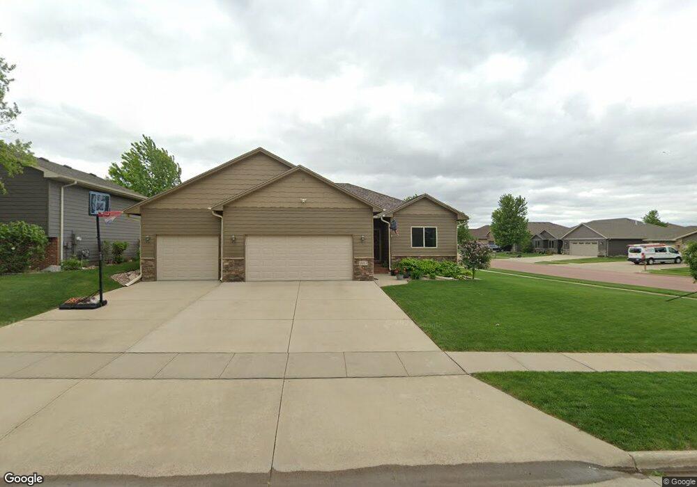
7613 W Boysenberry St Sioux Falls, SD 57106
Northwest Sioux Falls NeighborhoodEstimated Value: $408,000 - $454,000
2
Beds
2
Baths
1,216
Sq Ft
$351/Sq Ft
Est. Value
About This Home
This home is located at 7613 W Boysenberry St, Sioux Falls, SD 57106 and is currently estimated at $426,346, approximately $350 per square foot. 7613 W Boysenberry St is a home located in Minnehaha County with nearby schools including Discovery Elementary School, Memorial Middle School, and Jefferson High School - 67.
Ownership History
Date
Name
Owned For
Owner Type
Purchase Details
Closed on
Aug 9, 2018
Sold by
Hanson Kasey O and Hanson Santena
Bought by
Hall Thomas and Hall Connie
Current Estimated Value
Purchase Details
Closed on
Aug 6, 2013
Sold by
Paul Fick Homes Inc
Bought by
Hanson Kasey O and Hanson Santena
Home Financials for this Owner
Home Financials are based on the most recent Mortgage that was taken out on this home.
Original Mortgage
$202,200
Interest Rate
4.53%
Mortgage Type
Stand Alone First
Create a Home Valuation Report for This Property
The Home Valuation Report is an in-depth analysis detailing your home's value as well as a comparison with similar homes in the area
Home Values in the Area
Average Home Value in this Area
Purchase History
| Date | Buyer | Sale Price | Title Company |
|---|---|---|---|
| Hall Thomas | $251,000 | Stewart Title Company | |
| Hanson Kasey O | $212,900 | -- |
Source: Public Records
Mortgage History
| Date | Status | Borrower | Loan Amount |
|---|---|---|---|
| Previous Owner | Hanson Kasey O | $202,200 |
Source: Public Records
Tax History Compared to Growth
Tax History
| Year | Tax Paid | Tax Assessment Tax Assessment Total Assessment is a certain percentage of the fair market value that is determined by local assessors to be the total taxable value of land and additions on the property. | Land | Improvement |
|---|---|---|---|---|
| 2024 | $4,887 | $357,900 | $37,700 | $320,200 |
| 2023 | $5,053 | $357,100 | $37,700 | $319,400 |
| 2022 | $4,946 | $329,700 | $37,700 | $292,000 |
| 2021 | $3,934 | $263,400 | $0 | $0 |
| 2020 | $3,934 | $249,900 | $0 | $0 |
| 2019 | $3,681 | $229,132 | $0 | $0 |
| 2018 | $3,408 | $224,474 | $0 | $0 |
| 2016 | $3,268 | $203,997 | $42,808 | $161,189 |
| 2015 | $3,242 | $194,621 | $40,770 | $153,851 |
| 2014 | -- | $188,646 | $40,770 | $147,876 |
Source: Public Records
Map
Nearby Homes
- 7524 W Boysenberry St
- 7805 W Noah Cir
- 7512 W Stoney Creek St
- 7517 W 15th St
- 1101 S Discovery Ave
- 7809 W Stoney Creek St
- 1209 S Discovery Ave
- 1301 Hyannis Port Ln
- 1200 S Monticello Ave
- 519 S Horizon Cir
- 604 S Mary Gene Ave
- 1315 S President Ct
- 1501 S Wheatland Ave
- 501 S Mary Gene Ave
- 8709 W Rathburn St
- 7721 W Raegan St
- 521 S Big Stone Ave
- 8101 W 24th St
- 8105 W 24th St
- 8605 W Bryggen Ct
- 7609 W Boysenberry St
- 7620 W Loganberry St
- 7605 W Boysenberry St
- 709 S Discovery Ave
- 715 S Discovery Ave
- 7616 W Boysenberry St
- 7612 W Boysenberry St
- 705 S Discovery Ave
- 7608 W Boysenberry St
- 7601 W Boysenberry St
- 7612 W Loganberry St
- 719 S Discovery Ave
- 7604 W Boysenberry St
- 716 S Little Brook Ln
- 708 S Little Brook Ln
- 801 S Discovery Ave
- 720 S Little Brook Ln
- 700 S Little Brook Ln
- 7621 W Loganberry St
- 7621 W Loganberry St St