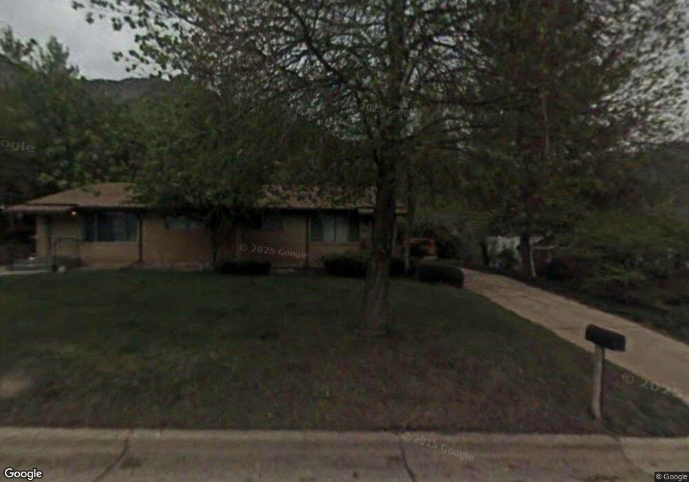
762 Simoron Dr Ogden, UT 84404
Horace Mann NeighborhoodEstimated Value: $439,613 - $625,000
5
Beds
2
Baths
3,564
Sq Ft
$148/Sq Ft
Est. Value
About This Home
This home is located at 762 Simoron Dr, Ogden, UT 84404 and is currently estimated at $527,153, approximately $147 per square foot. 762 Simoron Dr is a home located in Weber County with nearby schools including Mound Fort Junior High School and Ben Lomond High School.
Ownership History
Date
Name
Owned For
Owner Type
Purchase Details
Closed on
Aug 21, 2007
Sold by
Peterson Art and Nasfell Peterson Gail P
Bought by
Lukas Herbert
Current Estimated Value
Home Financials for this Owner
Home Financials are based on the most recent Mortgage that was taken out on this home.
Original Mortgage
$129,500
Outstanding Balance
$82,286
Interest Rate
6.73%
Mortgage Type
Purchase Money Mortgage
Estimated Equity
$444,867
Create a Home Valuation Report for This Property
The Home Valuation Report is an in-depth analysis detailing your home's value as well as a comparison with similar homes in the area
Home Values in the Area
Average Home Value in this Area
Purchase History
| Date | Buyer | Sale Price | Title Company |
|---|---|---|---|
| Lukas Herbert | -- | First American Fashion Point |
Source: Public Records
Mortgage History
| Date | Status | Borrower | Loan Amount |
|---|---|---|---|
| Open | Lukas Herbert | $129,500 |
Source: Public Records
Tax History
| Year | Tax Paid | Tax Assessment Tax Assessment Total Assessment is a certain percentage of the fair market value that is determined by local assessors to be the total taxable value of land and additions on the property. | Land | Improvement |
|---|---|---|---|---|
| 2025 | $3,093 | $416,710 | $100,000 | $316,710 |
| 2024 | $3,036 | $406,000 | $100,000 | $306,000 |
| 2023 | $2,992 | $405,000 | $74,000 | $331,000 |
| 2022 | $3,002 | $410,000 | $50,000 | $360,000 |
| 2021 | $2,416 | $297,000 | $50,000 | $247,000 |
| 2020 | $2,377 | $270,000 | $48,665 | $221,335 |
| 2019 | $2,155 | $228,000 | $43,456 | $184,544 |
| 2018 | $1,842 | $191,038 | $39,372 | $151,666 |
| 2017 | $1,633 | $156,347 | $36,906 | $119,441 |
| 2016 | $1,458 | $74,677 | $17,600 | $57,077 |
| 2015 | $1,460 | $73,982 | $17,600 | $56,382 |
| 2014 | $1,286 | $63,366 | $15,400 | $47,966 |
Source: Public Records
Map
Nearby Homes
- 1565 E 775 S Unit 7
- 1568 Hudson St Unit 1
- 572 S Elena Ln
- 1582 E Maddies Cove Unit 19
- 3270 N 3325 W Unit 386B
- 1528 Sunview Dr
- 994 Mountain Rd
- 1243 Hudson St
- 1274 5th St
- 3091 N 3075 W
- 1363 Lewis Dr
- 322 Harrison Blvd
- 584 Eccles Ave
- 1062 Hudson St
- 1090 Harrop St
- 1039 E 10th St
- 580 Marco Ln
- 1346 Millcreek Dr Unit 6
- 1372 Millcreek Dr Unit 8
- 1175 Canyon Rd Unit 80
- 800 Hislop Dr
- 772 Simoron Dr
- 748 Simoron Dr
- 732 Hislop Dr
- 763 Simoron Dr
- 751 Simoron Dr
- 767 Simoron Dr
- 728 Hislop Dr
- 788 Simoron Dr
- 735 Hislop Dr
- 728 Simoron Dr
- 735 Simoron Dr
- 785 Simoron Dr
- 1565 E 775 S Unit 34
- 1565 E 775 S Unit 33
- 1565 E 775 S Unit 31
- 1565 E 775 S Unit 30
- 1565 E 775 S Unit 29
- 1565 E 775 S Unit 28
- 1565 E 775 S Unit 27
Your Personal Tour Guide
Ask me questions while you tour the home.