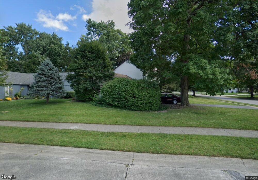
7620 Smoketree Ct Columbus, OH 43235
Summerwood NeighborhoodEstimated Value: $388,000 - $463,000
3
Beds
3
Baths
1,640
Sq Ft
$251/Sq Ft
Est. Value
About This Home
This home is located at 7620 Smoketree Ct, Columbus, OH 43235 and is currently estimated at $411,594, approximately $250 per square foot. 7620 Smoketree Ct is a home located in Franklin County with nearby schools including Granby Elementary School, McCord Middle School, and Worthington Kilbourne High School.
Ownership History
Date
Name
Owned For
Owner Type
Purchase Details
Closed on
Dec 21, 2021
Sold by
Ferguson Barbara G
Bought by
Ferguson Edward W
Current Estimated Value
Purchase Details
Closed on
Jun 16, 2000
Sold by
Snyder Robert R and Snyder Robert Ray
Bought by
Ferguson Edward M and Ferguson Barbara G
Home Financials for this Owner
Home Financials are based on the most recent Mortgage that was taken out on this home.
Original Mortgage
$40,000
Interest Rate
7.5%
Purchase Details
Closed on
Sep 1, 1986
Purchase Details
Closed on
Jul 1, 1977
Create a Home Valuation Report for This Property
The Home Valuation Report is an in-depth analysis detailing your home's value as well as a comparison with similar homes in the area
Home Values in the Area
Average Home Value in this Area
Purchase History
| Date | Buyer | Sale Price | Title Company |
|---|---|---|---|
| Ferguson Edward W | -- | None Listed On Document | |
| Ferguson Edward M | $148,500 | Franklin Abstract | |
| -- | $96,000 | -- | |
| -- | $57,500 | -- |
Source: Public Records
Mortgage History
| Date | Status | Borrower | Loan Amount |
|---|---|---|---|
| Previous Owner | Ferguson Edward M | $40,000 |
Source: Public Records
Tax History Compared to Growth
Tax History
| Year | Tax Paid | Tax Assessment Tax Assessment Total Assessment is a certain percentage of the fair market value that is determined by local assessors to be the total taxable value of land and additions on the property. | Land | Improvement |
|---|---|---|---|---|
| 2024 | $7,231 | $113,120 | $31,990 | $81,130 |
| 2023 | $6,927 | $113,120 | $31,990 | $81,130 |
| 2022 | $5,954 | $89,220 | $24,570 | $64,650 |
| 2021 | $5,776 | $89,220 | $24,570 | $64,650 |
| 2020 | $5,291 | $89,220 | $24,570 | $64,650 |
| 2019 | $4,751 | $73,960 | $20,480 | $53,480 |
| 2018 | $4,176 | $73,960 | $20,480 | $53,480 |
| 2017 | $4,003 | $73,960 | $20,480 | $53,480 |
| 2016 | $3,748 | $61,540 | $18,730 | $42,810 |
| 2015 | $3,749 | $61,540 | $18,730 | $42,810 |
| 2014 | $3,747 | $61,540 | $18,730 | $42,810 |
| 2013 | $1,864 | $61,530 | $18,725 | $42,805 |
Source: Public Records
Map
Nearby Homes
- 2220 Surreygate Dr
- 2074 Hard Rd
- 2392 Dunsworth Dr
- 2001 Sawbury Blvd Unit 2001
- 2456 Sanford Dr
- 2469 Sandstrom Dr
- 2488 Dunstan Dr
- 2423 Sutter Pkwy
- 1889 Slaton Ct Unit 1889
- 1828 Gardenstone Dr
- 8108 Smoky Row Rd
- 2161 Heatherfield Ave
- 1930 Shallowford Ave
- 1827 Watertower Dr Unit 1827
- 1825 Watertower Dr Unit 1825
- 2475 Slateshire Dr
- 2620 Cedar Lake Dr Unit 2620
- 6921 Spruce Pine Dr
- 7373 Palmleaf Ln
- 7871 Thornfield Ln
- 7628 Smoketree Ct
- 2158 Surreygate Dr
- 7636 Smoketree Ct
- 2171 Surreygate Dr
- 2150 Surreygate Dr
- 2179 Surreygate Dr
- 2161 Surreygate Dr
- 7623 Smoketree Ct
- 2156 Sharwood Ct
- 7631 Smoketree Ct
- 2189 Surreygate Dr
- 7644 Smoketree Ct
- 2153 Surreygate Dr
- 7639 Smoketree Ct
- 2140 Surreygate Dr
- 2150 Sharwood Ct
- 2197 Surreygate Dr
- 2208 Surreygate Dr
- 2200 Shademont Ct
- 7647 Smoketree Ct