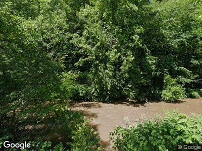
7621 Clear Fork Rd Colcord, WV 25048
Estimated Value: $97,073 - $156,000
3
Beds
2
Baths
1,712
Sq Ft
$72/Sq Ft
Est. Value
About This Home
This home is located at 7621 Clear Fork Rd, Colcord, WV 25048 and is currently estimated at $122,691, approximately $71 per square foot. 7621 Clear Fork Rd is a home with nearby schools including Clear Fork District Elementary School, Trap Hill Middle School, and Liberty High School.
Ownership History
Date
Name
Owned For
Owner Type
Purchase Details
Closed on
Jul 26, 2021
Sold by
Whitesville St Bk
Bought by
Whitesville State Bank
Current Estimated Value
Home Financials for this Owner
Home Financials are based on the most recent Mortgage that was taken out on this home.
Original Mortgage
$12,000
Outstanding Balance
$7,935
Interest Rate
2.18%
Mortgage Type
Construction
Create a Home Valuation Report for This Property
The Home Valuation Report is an in-depth analysis detailing your home's value as well as a comparison with similar homes in the area
Home Values in the Area
Average Home Value in this Area
Purchase History
| Date | Buyer | Sale Price | Title Company |
|---|---|---|---|
| Whitesville State Bank | $12,000 | Attorney Only |
Source: Public Records
Mortgage History
| Date | Status | Borrower | Loan Amount |
|---|---|---|---|
| Open | Whitesville State Bank | $12,000 | |
| Closed | Whitesville State Bank | $12,000 |
Source: Public Records
Tax History Compared to Growth
Tax History
| Year | Tax Paid | Tax Assessment Tax Assessment Total Assessment is a certain percentage of the fair market value that is determined by local assessors to be the total taxable value of land and additions on the property. | Land | Improvement |
|---|---|---|---|---|
| 2024 | $100 | $28,300 | $5,860 | $22,440 |
| 2023 | $102 | $28,470 | $6,030 | $22,440 |
| 2022 | $342 | $28,440 | $6,000 | $22,440 |
| 2021 | $340 | $28,290 | $5,910 | $22,380 |
| 2020 | $347 | $28,750 | $5,890 | $22,860 |
| 2019 | $345 | $28,550 | $5,690 | $22,860 |
| 2018 | $355 | $29,370 | $6,030 | $23,340 |
| 2017 | $369 | $30,540 | $6,720 | $23,820 |
| 2016 | $380 | $28,920 | $5,100 | $23,820 |
| 2015 | $403 | $31,670 | $5,100 | $26,570 |
| 2014 | $403 | $32,780 | $5,100 | $27,680 |
Source: Public Records
Map
Nearby Homes
- 306 Rockcastle Rd
- 155 Collins Place
- 3888 Clear Fork Rd
- 1025 Seng Creek Rd
- 420 Old Country Rd
- 2051 Peachtree Rd
- 178 County Route 3 37
- 884 Upper Rock Creek Rd
- 149 Paul Ln
- 275 Masseyville Rd
- 210 Sherman St
- 135 Amber Ct
- 31a Rock Creek Ln
- 000 Bee Branch Rd
- 111 Mineral Ct
- 1650 Okey L Patteson Rd
- Rt 19 Packs Branch Rd
- 305 Packs Branch Rd
- 13 Bottom Rd
- 0 Coal River Rd
