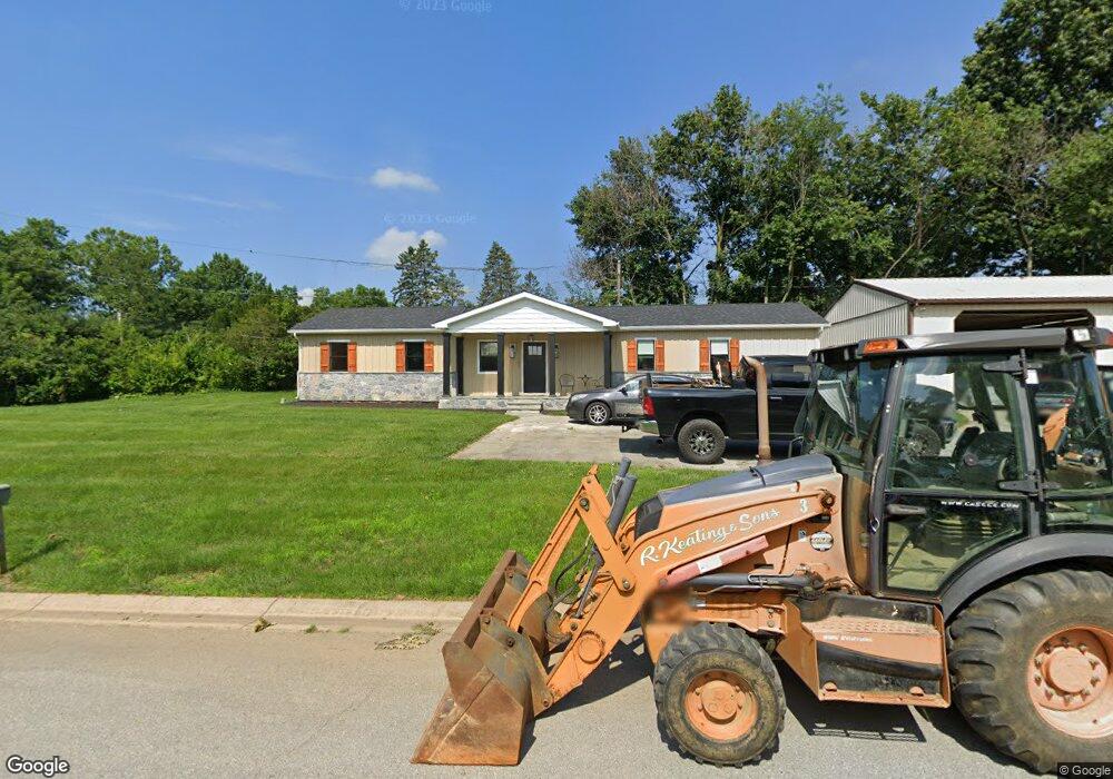
7621 Lancaster Pike Hockessin, DE 19707
Estimated Value: $562,000
3
Beds
1
Bath
3,230
Sq Ft
$174/Sq Ft
Est. Value
About This Home
This home is located at 7621 Lancaster Pike, Hockessin, DE 19707 and is currently estimated at $562,000, approximately $173 per square foot. 7621 Lancaster Pike is a home with nearby schools including Dupont (H.B.) Middle School, Alexis I. du Pont High School, and Sanford School.
Ownership History
Date
Name
Owned For
Owner Type
Purchase Details
Closed on
Apr 2, 2024
Sold by
Keating Kevin R and Keating Jeffrey M
Bought by
R Keating & Sons Inc
Current Estimated Value
Purchase Details
Closed on
Mar 21, 2011
Sold by
Hobson Jeanne F
Bought by
Keating Charlene M and Charlene M Keating Revocable Trust
Home Financials for this Owner
Home Financials are based on the most recent Mortgage that was taken out on this home.
Original Mortgage
$108,000
Interest Rate
5.07%
Mortgage Type
Seller Take Back
Create a Home Valuation Report for This Property
The Home Valuation Report is an in-depth analysis detailing your home's value as well as a comparison with similar homes in the area
Home Values in the Area
Average Home Value in this Area
Purchase History
| Date | Buyer | Sale Price | Title Company |
|---|---|---|---|
| R Keating & Sons Inc | -- | None Listed On Document | |
| Keating Kevin R | -- | None Listed On Document | |
| Keating Charlene M | -- | None Available |
Source: Public Records
Mortgage History
| Date | Status | Borrower | Loan Amount |
|---|---|---|---|
| Previous Owner | Keating Charlene M | $108,000 |
Source: Public Records
Tax History Compared to Growth
Tax History
| Year | Tax Paid | Tax Assessment Tax Assessment Total Assessment is a certain percentage of the fair market value that is determined by local assessors to be the total taxable value of land and additions on the property. | Land | Improvement |
|---|---|---|---|---|
| 2024 | $5,321 | $144,000 | $31,400 | $112,600 |
| 2023 | $3,745 | $113,500 | $14,400 | $99,100 |
| 2022 | $3,744 | $113,500 | $14,400 | $99,100 |
| 2021 | $3,743 | $113,500 | $14,400 | $99,100 |
| 2020 | $3,755 | $113,500 | $14,400 | $99,100 |
| 2019 | $3,806 | $113,500 | $14,400 | $99,100 |
| 2018 | $3,675 | $113,500 | $14,400 | $99,100 |
| 2017 | $3,630 | $113,500 | $14,400 | $99,100 |
| 2016 | $3,467 | $113,500 | $14,400 | $99,100 |
| 2015 | $3,249 | $113,500 | $14,400 | $99,100 |
| 2014 | $3,006 | $113,500 | $14,400 | $99,100 |
Source: Public Records
Map
Nearby Homes
- 683 Mc Govern Rd
- 1131 Valley Rd
- 5 Salina Ct
- 9129 Gap Newport Pike
- 22 Eynon Ct
- 16 Eynon Ct
- 112 Cameron Dr
- 200 Pond Dr
- 707 Letitia Dr
- 832 Evanson Rd
- 104 Saint Andrews Dr
- 311 Nicola Ln
- 538 Erickson Ave
- 520 Erickson Ave
- 111 Saint Andrews Dr
- 122 Round Hill Rd
- 14 Stonebridge Dr
- 705 Stonehouse Way
- 131 Peoples Way
- 747 Morris Rd
- 7625 Lancaster Pike
- 7637 Unit B Lancaster Pike
- 7637 Lancaster Pike
- 7637 Lancaster Pike
- 1 Wellington West Dr
- 813 Christopher Ct
- 811 Christopher Ct
- 7599 Lancaster Pike
- 3 Wellington West Dr
- 809 Christopher Ct
- 5 Wellington West Dr
- 5 Wellington Dr W
- 2 Wellington West Dr
- 7 Wellington West Dr
- 2 Wellington Dr W
- 9 Wellington West Dr
- 9 Wellington Dr W
- 4 Wellington West Dr
- 815 Christopher Ct
- 11 Wellington Dr W