7625 W 25th St Riverside, IL 60546
Estimated Value: $436,000 - $855,000
4
Beds
3
Baths
3,200
Sq Ft
$214/Sq Ft
Est. Value
About This Home
This home is located at 7625 W 25th St, Riverside, IL 60546 and is currently estimated at $685,458, approximately $214 per square foot. 7625 W 25th St is a home located in Cook County with nearby schools including A F Ames Elementary School, L J Hauser Jr High School, and Riverside Brookfield High School.
Ownership History
Date
Name
Owned For
Owner Type
Purchase Details
Closed on
Jun 30, 2020
Sold by
Pesek Anthony E and Pesek Jacklyn E
Bought by
Pesek Anthony E and Pesek Jacklyn E
Current Estimated Value
Purchase Details
Closed on
Oct 23, 2019
Sold by
Pesek Anthony E and Pesek Jacklyn E
Bought by
Pesek Anthony E and Pesek Jacklyn E
Purchase Details
Closed on
Sep 18, 2019
Sold by
Pesek Wayne
Bought by
Pesek Anthony E and Pesek Camila A
Purchase Details
Closed on
Apr 5, 2010
Sold by
Pesek Wayne E and Pesek Jenny A
Bought by
Pesek Wayne E
Create a Home Valuation Report for This Property
The Home Valuation Report is an in-depth analysis detailing your home's value as well as a comparison with similar homes in the area
Home Values in the Area
Average Home Value in this Area
Purchase History
| Date | Buyer | Sale Price | Title Company |
|---|---|---|---|
| Pesek Anthony E | -- | None Available | |
| Pesek Anthony E | -- | None Available | |
| Pesek Anthony E | -- | Attorney | |
| Pesek Wayne E | -- | None Available |
Source: Public Records
Tax History
| Year | Tax Paid | Tax Assessment Tax Assessment Total Assessment is a certain percentage of the fair market value that is determined by local assessors to be the total taxable value of land and additions on the property. | Land | Improvement |
|---|---|---|---|---|
| 2025 | $14,481 | $58,000 | $28,600 | $29,400 |
| 2024 | $14,481 | $58,000 | $28,600 | $29,400 |
| 2023 | $14,305 | $58,000 | $28,600 | $29,400 |
| 2022 | $14,305 | $46,478 | $25,025 | $21,453 |
| 2021 | $14,857 | $46,478 | $25,025 | $21,453 |
| 2020 | $14,406 | $46,478 | $25,025 | $21,453 |
| 2019 | $12,069 | $45,864 | $22,880 | $22,984 |
| 2018 | $11,720 | $45,864 | $22,880 | $22,984 |
| 2017 | $11,433 | $45,864 | $22,880 | $22,984 |
| 2016 | $11,479 | $42,025 | $20,020 | $22,005 |
| 2015 | $11,675 | $42,025 | $20,020 | $22,005 |
| 2014 | $11,688 | $42,025 | $20,020 | $22,005 |
| 2013 | $9,213 | $36,172 | $12,870 | $23,302 |
Source: Public Records
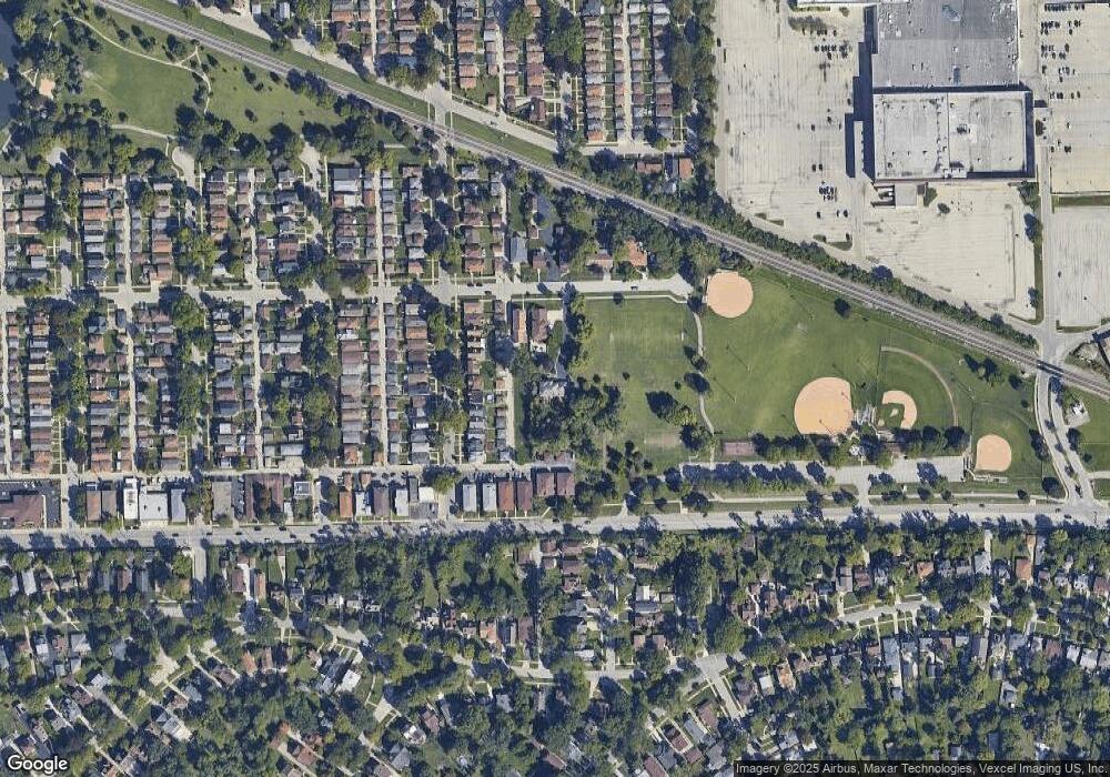
Map
Nearby Homes
- 7610 W 26th St Unit 6
- 472 Northgate Ct
- 2252 Northgate Ave
- 2311 Park Ave
- 2527 Keystone Ave
- 315 Bartram Rd
- 562 Byrd Rd
- 2230 Keystone Ave
- 525 Berkeley Rd
- 499 Longcommon Rd
- 339 Eastgrove Rd
- 727 Selborne Rd
- 2914 Maple Ave
- 395 N Delaplaine Rd Unit 1W
- 475 Shenstone Rd Unit 304
- 475 Shenstone Rd Unit 303
- 3032 Wisconsin Ave
- 2532 Clinton Ave
- 6921 26th St
- 2508 Kenilworth Ave
- 7627 W 25th St
- 7635 W 25th St
- 2511 Hainsworth Ave
- 2513 Hainsworth Ave
- 2509 Hainsworth Ave
- 2515 Hainsworth Ave
- 2507 Hainsworth Ave
- 2519 Hainsworth Ave
- 2505 Hainsworth Ave
- 2521 Hainsworth Ave
- 2503 Hainsworth Ave
- 2523 Hainsworth Ave
- 7610 W 26th St Unit 3
- 7610 W 26th St Unit 2
- 7610 W 26th St Unit 1
- 7610 W 26th St Unit 7
- 7610 W 26th St Unit 5
- 7610 W 26th St Unit 4
- 2501 Hainsworth Ave
- 2525 Hainsworth Ave