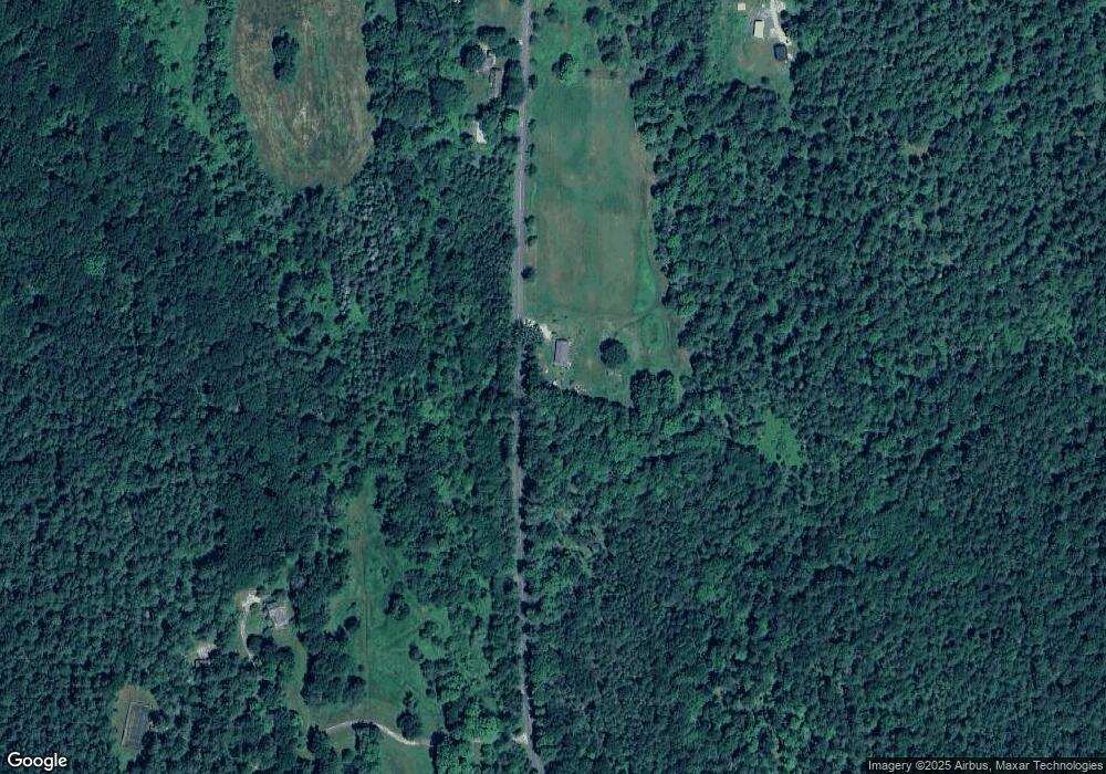
763 Silver St Sheffield, MA 01257
Estimated Value: $552,626 - $688,000
3
Beds
2
Baths
1,680
Sq Ft
$381/Sq Ft
Est. Value
About This Home
This home is located at 763 Silver St, Sheffield, MA 01257 and is currently estimated at $639,407, approximately $380 per square foot. 763 Silver St is a home with nearby schools including Mt. Everett High School.
Ownership History
Date
Name
Owned For
Owner Type
Purchase Details
Closed on
Jul 27, 2017
Sold by
West Andrew F
Bought by
West Andrew F and Brassard Ann M
Current Estimated Value
Home Financials for this Owner
Home Financials are based on the most recent Mortgage that was taken out on this home.
Original Mortgage
$195,000
Outstanding Balance
$161,179
Interest Rate
3.88%
Mortgage Type
Adjustable Rate Mortgage/ARM
Estimated Equity
$478,229
Purchase Details
Closed on
Oct 16, 2006
Sold by
West Barbara G and West David F
Bought by
West Andrew F
Create a Home Valuation Report for This Property
The Home Valuation Report is an in-depth analysis detailing your home's value as well as a comparison with similar homes in the area
Home Values in the Area
Average Home Value in this Area
Purchase History
| Date | Buyer | Sale Price | Title Company |
|---|---|---|---|
| West Andrew F | -- | -- | |
| West Andrew F | -- | -- | |
| West Andrew F | -- | -- | |
| West Andrew F | -- | -- | |
| West Andrew F | -- | -- | |
| West Andrew F | -- | -- |
Source: Public Records
Mortgage History
| Date | Status | Borrower | Loan Amount |
|---|---|---|---|
| Open | West Andrew F | $195,000 | |
| Closed | West Andrew F | $195,000 |
Source: Public Records
Tax History Compared to Growth
Tax History
| Year | Tax Paid | Tax Assessment Tax Assessment Total Assessment is a certain percentage of the fair market value that is determined by local assessors to be the total taxable value of land and additions on the property. | Land | Improvement |
|---|---|---|---|---|
| 2025 | $4,819 | $397,900 | $74,100 | $323,800 |
| 2024 | $4,675 | $397,900 | $74,100 | $323,800 |
| 2023 | $4,584 | $397,900 | $74,100 | $323,800 |
| 2022 | $4,315 | $346,900 | $74,100 | $272,800 |
| 2021 | $4,215 | $303,700 | $70,900 | $232,800 |
| 2020 | $4,323 | $308,800 | $70,900 | $237,900 |
| 2019 | $4,315 | $278,400 | $60,900 | $217,500 |
| 2018 | $898 | $60,900 | $60,900 | $0 |
| 2017 | $894 | $60,900 | $60,900 | $0 |
| 2016 | $1,110 | $77,400 | $77,400 | $0 |
| 2015 | $1,122 | $77,400 | $77,400 | $0 |
Source: Public Records
Map
Nearby Homes
- 321 Salisbury Rd
- 1669 Silver St
- 119 S Main St
- 153 E Main St
- 1180 Ashley Falls Rd Unit A,B,C,D,E
- 166 Berkshire School Rd
- 168 Main St
- 1427 Hewins St
- 175 Main St
- 254 Main St
- 60 Parsley Ln
- 95 Water Farm Rd
- 414 S Undermountain Rd
- 16 Lilac Ln
- 334 S Undermountain Rd
- 604 Sheffield Plain
- 481 Shunpike Rd
- 0 Amory Ln
- 277 Ashley Falls Rd
- 246 Ashley Falls Rd
