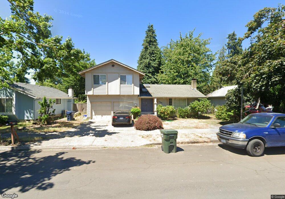
764 71st St Springfield, OR 97478
Thurston NeighborhoodEstimated Value: $382,000 - $446,000
3
Beds
2
Baths
1,369
Sq Ft
$297/Sq Ft
Est. Value
About This Home
This home is located at 764 71st St, Springfield, OR 97478 and is currently estimated at $406,304, approximately $296 per square foot. 764 71st St is a home located in Lane County with nearby schools including Thurston Elementary School, Thurston Middle School, and Thurston High School.
Create a Home Valuation Report for This Property
The Home Valuation Report is an in-depth analysis detailing your home's value as well as a comparison with similar homes in the area
Home Values in the Area
Average Home Value in this Area
Tax History
| Year | Tax Paid | Tax Assessment Tax Assessment Total Assessment is a certain percentage of the fair market value that is determined by local assessors to be the total taxable value of land and additions on the property. | Land | Improvement |
|---|---|---|---|---|
| 2025 | $3,896 | $212,440 | -- | -- |
| 2024 | $3,833 | $206,253 | -- | -- |
| 2023 | $3,833 | $200,246 | $0 | $0 |
| 2022 | $3,550 | $194,414 | $0 | $0 |
| 2021 | $3,486 | $188,752 | $0 | $0 |
| 2020 | $3,384 | $183,255 | $0 | $0 |
| 2019 | $3,282 | $177,918 | $0 | $0 |
| 2018 | $3,094 | $167,705 | $0 | $0 |
| 2017 | $2,975 | $167,705 | $0 | $0 |
| 2016 | $2,913 | $162,820 | $0 | $0 |
| 2015 | $2,830 | $158,078 | $0 | $0 |
| 2014 | $2,787 | $153,474 | $0 | $0 |
Source: Public Records
Map
Nearby Homes
- 7080 Thurston Rd Unit 2
- 0 Omlid Dr Unit 1 706471345
- 0 Omlid Dr Unit 11
- 0 Omlid Dr Unit 27 796722689
- 0 Omlid Dr Unit 26 256458253
- 0 Omlid Dr Unit 10
- 0 Omlid Dr Unit 3 154724851
- 0 Omlid Dr Unit 2 312357104
- 0 71st St
- 6898 Thurston Rd
- 353 71st St
- 6875 B St
- 555 66th St
- 250 68th St
- 246 S 70th St
- 6964 Bluebelle Way
- 6540 B St
- 6445 B St
- 0 Camp Creek Rd Unit 718698257
- 616 S 71st St
Your Personal Tour Guide
Ask me questions while you tour the home.