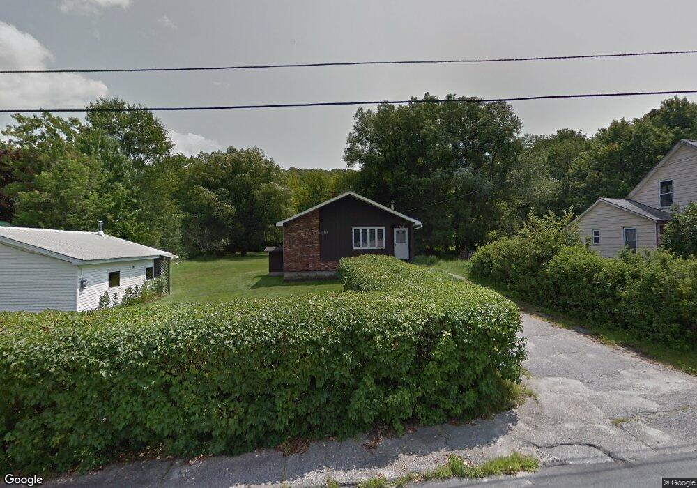
764 Kent St Berlin, NH 03570
Estimated Value: $166,996 - $224,000
3
Beds
1
Bath
894
Sq Ft
$207/Sq Ft
Est. Value
About This Home
This home is located at 764 Kent St, Berlin, NH 03570 and is currently estimated at $184,999, approximately $206 per square foot. 764 Kent St is a home located in Coos County with nearby schools including Berlin Elementary School, Berlin Middle School, and Berlin Senior High School.
Ownership History
Date
Name
Owned For
Owner Type
Purchase Details
Closed on
May 13, 1999
Sold by
Morin Gary R
Bought by
Roy Shawn R and Roy Donna Rena
Current Estimated Value
Home Financials for this Owner
Home Financials are based on the most recent Mortgage that was taken out on this home.
Original Mortgage
$35,000
Outstanding Balance
$8,230
Interest Rate
6.92%
Estimated Equity
$176,769
Purchase Details
Closed on
Sep 14, 1998
Sold by
Bedard Therese
Bought by
Morin Gary R
Home Financials for this Owner
Home Financials are based on the most recent Mortgage that was taken out on this home.
Original Mortgage
$40,000
Interest Rate
6.92%
Create a Home Valuation Report for This Property
The Home Valuation Report is an in-depth analysis detailing your home's value as well as a comparison with similar homes in the area
Purchase History
| Date | Buyer | Sale Price | Title Company |
|---|---|---|---|
| Roy Shawn R | $55,500 | -- | |
| Morin Gary R | $50,000 | -- |
Source: Public Records
Mortgage History
| Date | Status | Borrower | Loan Amount |
|---|---|---|---|
| Open | Morin Gary R | $35,000 | |
| Previous Owner | Morin Gary R | $40,000 |
Source: Public Records
Tax History
| Year | Tax Paid | Tax Assessment Tax Assessment Total Assessment is a certain percentage of the fair market value that is determined by local assessors to be the total taxable value of land and additions on the property. | Land | Improvement |
|---|---|---|---|---|
| 2025 | $5,100 | $151,800 | $30,300 | $121,500 |
| 2024 | $4,689 | $151,800 | $30,300 | $121,500 |
| 2023 | $4,358 | $162,000 | $30,300 | $131,700 |
| 2022 | $4,416 | $162,000 | $30,300 | $131,700 |
| 2021 | $4,114 | $112,600 | $24,600 | $88,000 |
| 2020 | $4,046 | $112,600 | $24,600 | $88,000 |
| 2018 | $3,786 | $96,400 | $14,700 | $81,700 |
| 2017 | $3,288 | $83,900 | $9,200 | $74,700 |
| 2016 | $3,288 | $83,900 | $9,200 | $74,700 |
| 2014 | $2,721 | $81,600 | $16,000 | $65,600 |
| 2013 | $2,693 | $81,600 | $16,000 | $65,600 |
Source: Public Records
Map
Nearby Homes
- 437 Forbush Ave
- 646 Trudel St
- 650 Blais St
- 682 Cheshire St
- 1408 Napert St
- 302 Grafton St
- 620 Cheshire St
- 669 Hampshire St
- 612 Rockingham St
- 606 Rockingham St
- Lots Hutchins St
- 9 Birch St
- 531 Hillsboro St
- 39 Abenaki Ln
- 534 Champlain St
- 58 Hemlock Ln
- 479 Burgess St
- 106 Pershing Ave
- 0 Heritage Ln Unit 248
- 0 Hillsboro St Unit 5036784
Your Personal Tour Guide
Ask me questions while you tour the home.