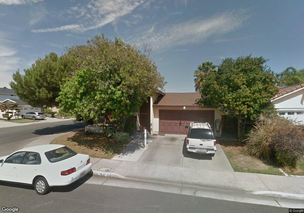
7642 Black Star Ln La Palma, CA 90623
Estimated Value: $1,005,323 - $1,249,000
3
Beds
2
Baths
1,480
Sq Ft
$759/Sq Ft
Est. Value
About This Home
This home is located at 7642 Black Star Ln, La Palma, CA 90623 and is currently estimated at $1,122,581, approximately $758 per square foot. 7642 Black Star Ln is a home located in Orange County with nearby schools including Los Coyotes Elementary School, Walker Junior High School, and John F. Kennedy High School.
Ownership History
Date
Name
Owned For
Owner Type
Purchase Details
Closed on
Aug 11, 1993
Sold by
Emmons Sidney L and Emmons Joyce M
Bought by
Stevens Nathaniel O and Stevens Betty A
Current Estimated Value
Home Financials for this Owner
Home Financials are based on the most recent Mortgage that was taken out on this home.
Original Mortgage
$176,800
Interest Rate
7.16%
Mortgage Type
Seller Take Back
Create a Home Valuation Report for This Property
The Home Valuation Report is an in-depth analysis detailing your home's value as well as a comparison with similar homes in the area
Home Values in the Area
Average Home Value in this Area
Purchase History
| Date | Buyer | Sale Price | Title Company |
|---|---|---|---|
| Stevens Nathaniel O | $208,000 | Stewart Title |
Source: Public Records
Mortgage History
| Date | Status | Borrower | Loan Amount |
|---|---|---|---|
| Closed | Stevens Nathaniel O | $176,800 |
Source: Public Records
Tax History Compared to Growth
Tax History
| Year | Tax Paid | Tax Assessment Tax Assessment Total Assessment is a certain percentage of the fair market value that is determined by local assessors to be the total taxable value of land and additions on the property. | Land | Improvement |
|---|---|---|---|---|
| 2025 | $4,228 | $353,525 | $223,520 | $130,005 |
| 2024 | $4,228 | $346,594 | $219,138 | $127,456 |
| 2023 | $4,123 | $339,799 | $214,842 | $124,957 |
| 2022 | $4,070 | $333,137 | $210,630 | $122,507 |
| 2021 | $4,013 | $326,605 | $206,500 | $120,105 |
| 2020 | $3,990 | $323,257 | $204,383 | $118,874 |
| 2019 | $3,892 | $316,919 | $200,375 | $116,544 |
| 2018 | $3,823 | $310,705 | $196,446 | $114,259 |
| 2017 | $3,705 | $304,613 | $192,594 | $112,019 |
| 2016 | $3,636 | $298,641 | $188,818 | $109,823 |
| 2015 | $3,595 | $294,156 | $185,982 | $108,174 |
| 2014 | $3,417 | $288,394 | $182,338 | $106,056 |
Source: Public Records
Map
Nearby Homes
- 19118 Martha Ave
- 5072 Alder Ln
- 7862 Squaw Valley Way
- 5568 Ozawa Cir
- 12967 Moorshire Dr
- 5212 Lena Dr
- 5412 Bransford Dr
- 7152 Caprice Cir
- 19008 Jeffrey Ave
- 5201 La Luna Dr
- 8312 Bellhaven St
- 12711 Castleford Ln
- 5686 Panama Dr
- 19335 Derbyshire Ln
- 18517 Betty Way
- 4858 Embassy Cir
- 4502 Petite Ln
- 4322 Fontainbleau Ave
- 13044 Hedda Ln
- 5836 Trinidad Way
- 7652 Black Star Ln
- 7641 Sierra Cir
- 7662 Black Star Ln
- 7651 Sierra Cir
- 4931 Borrego Dr
- 4921 Borrego Dr
- 7661 Sierra Cir
- 4941 Borrego Dr
- 7672 Black Star Ln
- 7641 Black Star Ln
- 7651 Black Star Ln
- 7631 Black Star Ln
- 4951 Borrego Dr
- 7661 Black Star Ln
- 7671 Sierra Cir
- 7621 Black Star Ln
- 4961 Borrego Dr
- 7671 Black Star Ln
- 7611 Black Star Ln
- 4932 Santiago Dr