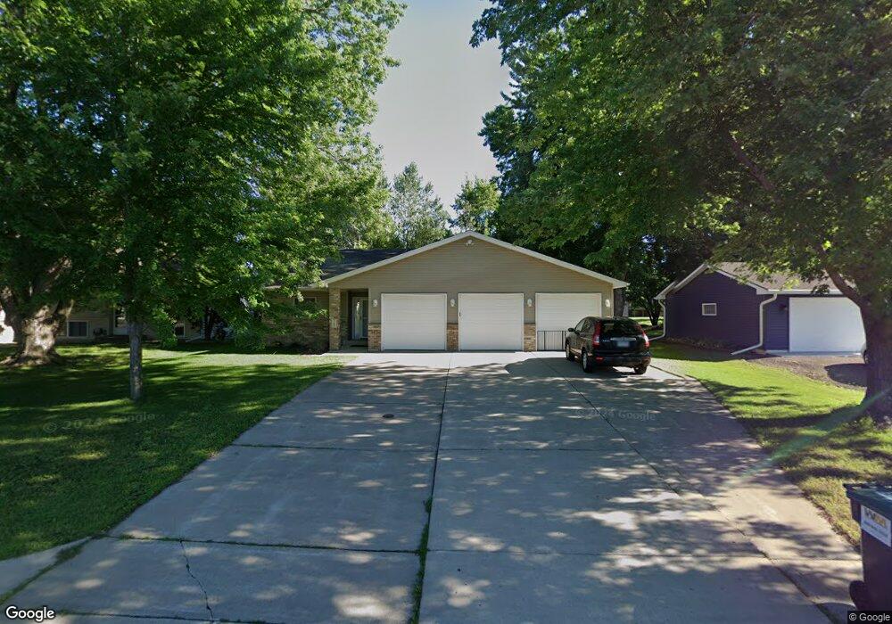
765 W Berwood Ave Vadnais Heights, MN 55127
Estimated Value: $416,000 - $437,000
3
Beds
3
Baths
2,100
Sq Ft
$204/Sq Ft
Est. Value
About This Home
This home is located at 765 W Berwood Ave, Vadnais Heights, MN 55127 and is currently estimated at $428,733, approximately $204 per square foot. 765 W Berwood Ave is a home located in Ramsey County with nearby schools including Vadnais Heights Elementary School, Sunrise Park Middle School, and AFSA High School.
Ownership History
Date
Name
Owned For
Owner Type
Purchase Details
Closed on
Jun 19, 2020
Sold by
Markham Jacob E and Markham Wendy M
Bought by
Ludwicki Morgan B and Ludwicki Jonathan M
Current Estimated Value
Home Financials for this Owner
Home Financials are based on the most recent Mortgage that was taken out on this home.
Original Mortgage
$318,338
Outstanding Balance
$282,182
Interest Rate
3.2%
Mortgage Type
New Conventional
Estimated Equity
$146,551
Purchase Details
Closed on
Nov 7, 2002
Sold by
Markham Mary E
Bought by
Markham Jacob
Create a Home Valuation Report for This Property
The Home Valuation Report is an in-depth analysis detailing your home's value as well as a comparison with similar homes in the area
Home Values in the Area
Average Home Value in this Area
Purchase History
| Date | Buyer | Sale Price | Title Company |
|---|---|---|---|
| Ludwicki Morgan B | $356,000 | Titlesmart Inc | |
| Markham Jacob | $29,000 | -- |
Source: Public Records
Mortgage History
| Date | Status | Borrower | Loan Amount |
|---|---|---|---|
| Open | Ludwicki Morgan B | $318,338 |
Source: Public Records
Tax History Compared to Growth
Tax History
| Year | Tax Paid | Tax Assessment Tax Assessment Total Assessment is a certain percentage of the fair market value that is determined by local assessors to be the total taxable value of land and additions on the property. | Land | Improvement |
|---|---|---|---|---|
| 2025 | $5,286 | $432,000 | $75,900 | $356,100 |
| 2023 | $5,286 | $402,700 | $75,900 | $326,800 |
| 2022 | $4,714 | $399,700 | $75,900 | $323,800 |
| 2021 | $4,146 | $346,500 | $75,900 | $270,600 |
| 2020 | $4,344 | $317,100 | $69,000 | $248,100 |
| 2019 | $3,508 | $309,500 | $69,000 | $240,500 |
| 2018 | $3,070 | $271,300 | $69,000 | $202,300 |
| 2017 | $2,916 | $243,400 | $69,000 | $174,400 |
| 2016 | $2,784 | $0 | $0 | $0 |
| 2015 | $2,804 | $208,800 | $69,000 | $139,800 |
| 2014 | $2,874 | $0 | $0 | $0 |
Source: Public Records
Map
Nearby Homes
- 731 Berwood Ave
- 3329 Greenbrier St
- 3300 Greenbrier St Unit 3300C
- 697 Parkside Dr Unit 697H
- 696 Monn Ave
- 832 Woodgate Dr Unit 107
- 963 E Berwood Ave
- 3230 Edgerton St
- 3120 Greenbrier St
- 3611 Edgerton St
- 3309 Nathaniel Ct
- 3736 Centerville Rd
- 3028 Edgerton St
- 3003 Greenbrier St
- 3000 Ontario Rd
- 3015 Basswood St
- Revere Plan at Pioneer Commons - Colonial Manor Collection
- Franklin Plan at Pioneer Commons - Colonial Manor Collection
- Raleigh Plan at Pioneer Commons - Liberty Collection
- St.Clair Plan at Pioneer Commons - Liberty Collection
- 765 Berwood Ave
- 759 Berwood Ave
- 759 W Berwood Ave
- 759 759 Berwood Ave
- 771 Berwood Ave
- 745 Berwood Ave
- 764 Hiawatha Ave
- 756 Hiawatha Ave
- 768 Hiawatha Ave
- 756 756 Hiawatha Ave
- 787 Berwood Ave
- 750 Hiawatha Ave
- 778 Hiawatha Ave
- 748 Berwood Ave
- 733 Berwood Ave
- 793 Berwood Ave
- 744 Hiawatha Ave
- 784 784 Hiawatha Ave
- 742 W Berwood Ave
- 742 742 Berwood Ave