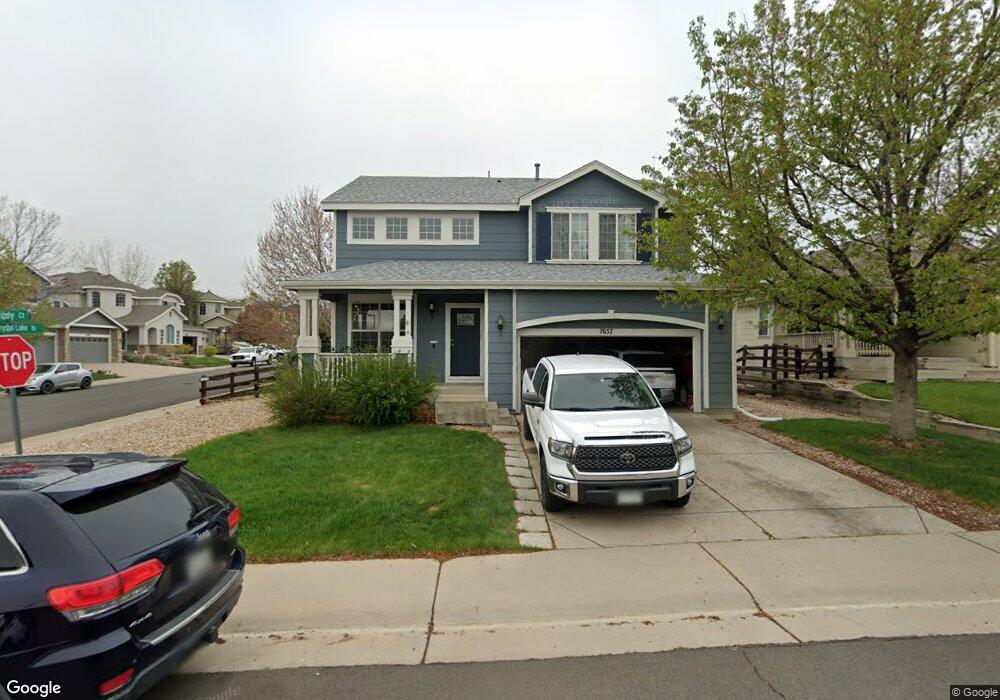
7657 Grizzly Ct Littleton, CO 80125
Estimated Value: $578,000 - $663,000
3
Beds
3
Baths
1,875
Sq Ft
$331/Sq Ft
Est. Value
About This Home
This home is located at 7657 Grizzly Ct, Littleton, CO 80125 and is currently estimated at $620,046, approximately $330 per square foot. 7657 Grizzly Ct is a home located in Douglas County with nearby schools including Roxborough Elementary School, Roxborough Intermediate School, and Ranch View Middle School.
Ownership History
Date
Name
Owned For
Owner Type
Purchase Details
Closed on
Jun 5, 2002
Sold by
D R Horton Inc
Bought by
Heep Stephen and Heep Dawn
Current Estimated Value
Home Financials for this Owner
Home Financials are based on the most recent Mortgage that was taken out on this home.
Original Mortgage
$242,555
Outstanding Balance
$101,179
Interest Rate
6.62%
Estimated Equity
$518,867
Purchase Details
Closed on
Apr 3, 2001
Sold by
Ramstar Development Inc
Bought by
Dr Horton Inc Attn Gaylen Hunt
Create a Home Valuation Report for This Property
The Home Valuation Report is an in-depth analysis detailing your home's value as well as a comparison with similar homes in the area
Home Values in the Area
Average Home Value in this Area
Purchase History
| Date | Buyer | Sale Price | Title Company |
|---|---|---|---|
| Heep Stephen | $255,322 | -- | |
| Dr Horton Inc Attn Gaylen Hunt | $2,113,700 | -- |
Source: Public Records
Mortgage History
| Date | Status | Borrower | Loan Amount |
|---|---|---|---|
| Open | Heep Stephen | $242,555 |
Source: Public Records
Tax History Compared to Growth
Tax History
| Year | Tax Paid | Tax Assessment Tax Assessment Total Assessment is a certain percentage of the fair market value that is determined by local assessors to be the total taxable value of land and additions on the property. | Land | Improvement |
|---|---|---|---|---|
| 2024 | $3,984 | $41,800 | $7,650 | $34,150 |
| 2023 | $4,010 | $41,800 | $7,650 | $34,150 |
| 2022 | $3,107 | $29,700 | $5,590 | $24,110 |
| 2021 | $3,246 | $29,700 | $5,590 | $24,110 |
| 2020 | $3,439 | $29,670 | $6,080 | $23,590 |
| 2019 | $3,494 | $29,670 | $6,080 | $23,590 |
| 2018 | $3,618 | $25,090 | $4,620 | $20,470 |
| 2017 | $3,476 | $25,090 | $4,620 | $20,470 |
| 2016 | $3,239 | $23,090 | $5,570 | $17,520 |
| 2015 | $3,346 | $23,090 | $5,570 | $17,520 |
| 2014 | $2,998 | $19,240 | $5,170 | $14,070 |
Source: Public Records
Map
Nearby Homes
- 7680 Elmwood St
- 7597 Bison Ct
- 7575 Elmwood St
- 7832 Elmwood St
- 9650 Fox Den Dr
- 7712 Brown Bear Way
- 9508 Elk Mountain Cir
- 7933 Mule Deer Place
- 7953 Mule Deer Place
- 8145 Monte Vista Cir
- 8032 Mount Ouray Rd
- 8132 Mount Harvard Rd
- 8090 Mt Lincoln Rd
- 8109 Mount Ouray Rd
- 8102 Mt Lincoln Rd
- 9753 Middle Peak St
- 8187 Mount Kataka St
- 9786 Rosalee Peak St
- 9804 Rosalee Peak St
- 7627 Halleys Dr
- 7667 Grizzly Ct
- 7656 Eagle Perch Ct
- 7677 Grizzly Ct
- 7666 Eagle Perch Ct
- 9776 N Crystal Lake Dr
- 9790 N Crystal Lake Dr
- 7676 Eagle Perch Ct
- 7658 Grizzly Ct
- 7644 Coyote Place
- 9818 N Crystal Lake Dr
- 7687 Grizzly Ct
- 7625 Coyote Place
- 7678 Grizzly Ct
- 7693 Grizzly Ct
- 7684 Eagle Perch Ct
- 7632 Coyote Place
- 9832 N Crystal Lake Dr
- 7682 Grizzly Ct
- 7669 Elk Ct
- 9744 N Crystal Lake Dr