Estimated Value: $282,000 - $450,505
3
Beds
3
Baths
1,789
Sq Ft
$197/Sq Ft
Est. Value
About This Home
This home is located at 7657 High Rd Unit I, Sims, NC 27880 and is currently estimated at $352,126, approximately $196 per square foot. 7657 High Rd Unit I is a home located in Wilson County with nearby schools including James Hunt High School, Rock Ridge Elementary School, and Springfield Middle School.
Ownership History
Date
Name
Owned For
Owner Type
Purchase Details
Closed on
Oct 4, 2012
Sold by
Federal Home Loan Mortgage Corporation
Bought by
Evans Gerry W
Current Estimated Value
Home Financials for this Owner
Home Financials are based on the most recent Mortgage that was taken out on this home.
Original Mortgage
$170,961
Outstanding Balance
$118,497
Interest Rate
3.53%
Mortgage Type
VA
Estimated Equity
$233,629
Create a Home Valuation Report for This Property
The Home Valuation Report is an in-depth analysis detailing your home's value as well as a comparison with similar homes in the area
Home Values in the Area
Average Home Value in this Area
Purchase History
| Date | Buyer | Sale Price | Title Company |
|---|---|---|---|
| Evans Gerry W | -- | None Available |
Source: Public Records
Mortgage History
| Date | Status | Borrower | Loan Amount |
|---|---|---|---|
| Open | Evans Gerry W | $170,961 |
Source: Public Records
Tax History
| Year | Tax Paid | Tax Assessment Tax Assessment Total Assessment is a certain percentage of the fair market value that is determined by local assessors to be the total taxable value of land and additions on the property. | Land | Improvement |
|---|---|---|---|---|
| 2025 | $2,179 | $309,344 | $47,785 | $261,559 |
| 2024 | $2,179 | $309,344 | $47,785 | $261,559 |
| 2023 | $1,722 | $202,016 | $35,785 | $166,231 |
| 2022 | $1,722 | $202,016 | $35,785 | $166,231 |
| 2021 | $1,712 | $202,016 | $35,785 | $166,231 |
| 2020 | $1,712 | $202,016 | $35,785 | $166,231 |
| 2019 | $1,712 | $202,016 | $35,785 | $166,231 |
| 2018 | $0 | $202,016 | $35,785 | $166,231 |
| 2017 | $1,677 | $202,016 | $35,785 | $166,231 |
| 2016 | $1,712 | $202,016 | $35,785 | $166,231 |
| 2014 | $1,753 | $207,045 | $35,785 | $171,260 |
Source: Public Records
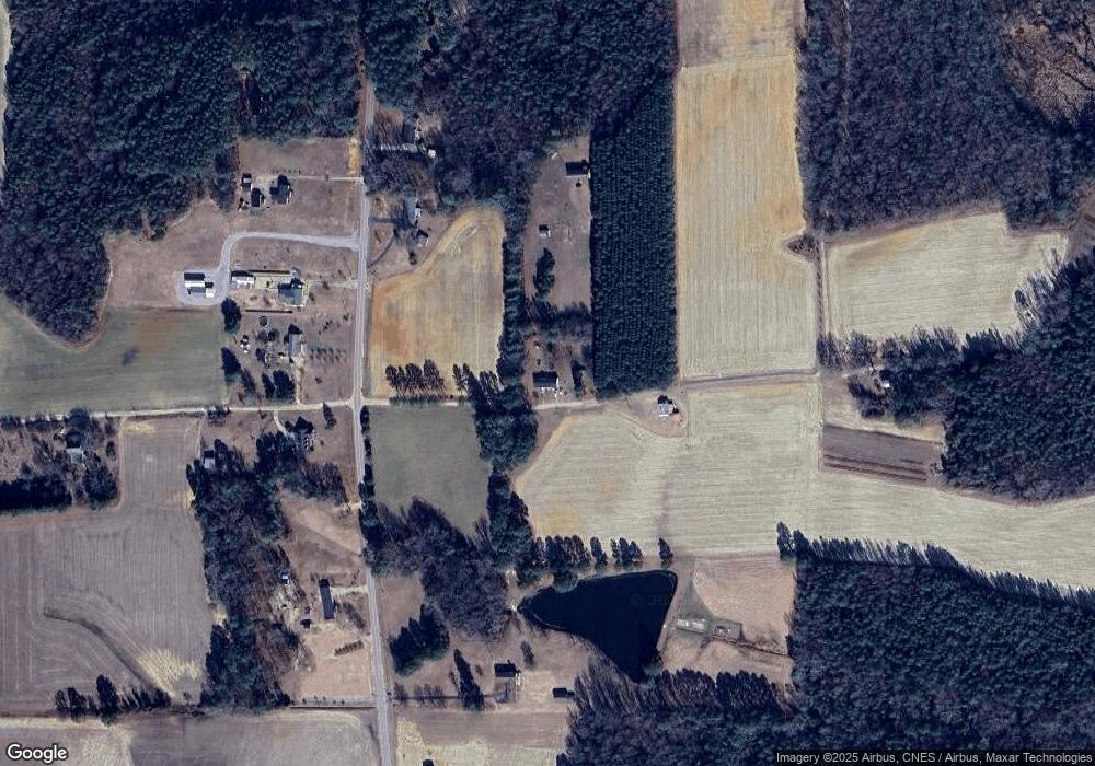
Map
Nearby Homes
- 7533 Fish Pond Rd
- 5063 N Carolina 581
- 5082 Willows Edge Dr
- 5142 Willows Edge Dr
- 7143 Leigh Ct
- 7127 Leigh Ct
- 0 Boykin Rd Unit 100494503
- 0 Boykin Rd
- 8207 Rock Ridge School Rd
- 7628 New Sandy Hill Church Rd
- 8211 Rock Ridge School Rd
- 5183 Finch
- 5495 Finch Rd
- 6820 Dunridge Ln
- 8662 Buckhorn Plantation Rd
- 8806 Eatchel Ct
- Lot 53 Radio Tower Rd
- Lot 44 Radio Tower Rd
- Lot 52 Radio Tower Rd
- Tract Flat Rock Rd
Your Personal Tour Guide
Ask me questions while you tour the home.