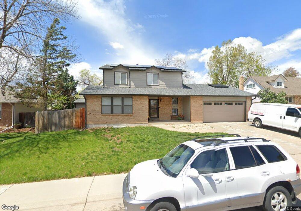
7657 S Newland St Littleton, CO 80128
Columbine Hills NeighborhoodEstimated Value: $614,000 - $704,000
3
Beds
5
Baths
2,012
Sq Ft
$325/Sq Ft
Est. Value
About This Home
This home is located at 7657 S Newland St, Littleton, CO 80128 and is currently estimated at $654,457, approximately $325 per square foot. 7657 S Newland St is a home located in Jefferson County with nearby schools including Columbine Hills Elementary School, Ken Caryl Middle School, and Columbine High School.
Ownership History
Date
Name
Owned For
Owner Type
Purchase Details
Closed on
Jun 21, 2002
Sold by
Berry Wildy F
Bought by
Westfall J Robert and Westfall Jennifer
Current Estimated Value
Home Financials for this Owner
Home Financials are based on the most recent Mortgage that was taken out on this home.
Original Mortgage
$174,000
Outstanding Balance
$73,987
Interest Rate
6.89%
Estimated Equity
$580,470
Create a Home Valuation Report for This Property
The Home Valuation Report is an in-depth analysis detailing your home's value as well as a comparison with similar homes in the area
Home Values in the Area
Average Home Value in this Area
Purchase History
| Date | Buyer | Sale Price | Title Company |
|---|---|---|---|
| Westfall J Robert | $217,500 | Land Title |
Source: Public Records
Mortgage History
| Date | Status | Borrower | Loan Amount |
|---|---|---|---|
| Open | Westfall J Robert | $174,000 |
Source: Public Records
Tax History Compared to Growth
Tax History
| Year | Tax Paid | Tax Assessment Tax Assessment Total Assessment is a certain percentage of the fair market value that is determined by local assessors to be the total taxable value of land and additions on the property. | Land | Improvement |
|---|---|---|---|---|
| 2024 | $3,154 | $31,261 | $10,847 | $20,414 |
| 2023 | $3,154 | $31,261 | $10,847 | $20,414 |
| 2022 | $3,033 | $29,503 | $8,051 | $21,452 |
| 2021 | $3,079 | $30,352 | $8,282 | $22,070 |
| 2020 | $2,709 | $26,798 | $6,332 | $20,466 |
| 2019 | $2,676 | $26,798 | $6,332 | $20,466 |
| 2018 | $2,488 | $24,188 | $6,628 | $17,560 |
| 2017 | $2,289 | $24,188 | $6,628 | $17,560 |
| 2016 | $2,243 | $23,317 | $6,553 | $16,764 |
| 2015 | $1,856 | $23,317 | $6,553 | $16,764 |
| 2014 | $1,856 | $18,156 | $5,388 | $12,768 |
Source: Public Records
Map
Nearby Homes
- 7857 S Pierce Way
- 7591 S Reed Ct
- 7550 S Reed Ct
- 7906 S Pierce Way
- 7684 S Ingalls St
- 7968 S Marshall St
- 5987 W Ken Caryl Place
- 5983 W Indore Place
- 7746 S Gray St
- 7855 S Vance Ct
- 7930 S Kendall Ct
- 7944 S Webster St
- 8051 S Kendall Blvd
- 7636 S Eaton Way
- 6419 W Roxbury Dr
- 6953 W Roxbury Place
- 7214 S Kendall Ct
- 7329 S Jay St
- 7767 S Depew St
- 7504 S Depew St
- 7647 S Newland St
- 7677 S Newland St
- 7637 S Newland St
- 7697 S Newland St
- 6598 W Nova Dr
- 7686 S Newland St
- 7580 S Pierce St
- 7707 S Newland St
- 6612 W Morraine Place
- 6577 W Nova Dr
- 7706 S Newland St
- 6568 W Nova Dr
- 6592 W Morraine Place
- 7717 S Newland St
- 6572 W Morraine Place
- 7773 S Marshall Ct
- 7716 S Newland St
- 6557 W Nova Dr
- 6548 W Nova Dr
- 7767 S Marshall Ct