7658 Us Highway 212 Roberts, MT 59070
Estimated Value: $954,000 - $1,375,000
4
Beds
3
Baths
3,008
Sq Ft
$388/Sq Ft
Est. Value
About This Home
This home is located at 7658 Us Highway 212, Roberts, MT 59070 and is currently estimated at $1,168,007, approximately $388 per square foot. 7658 Us Highway 212 is a home located in Carbon County with nearby schools including Mountain View School, Roosevelt Junior High School, and Red Lodge High School.
Ownership History
Date
Name
Owned For
Owner Type
Purchase Details
Closed on
May 27, 2021
Sold by
Taylor Robin S
Bought by
Haedt Richard L
Current Estimated Value
Home Financials for this Owner
Home Financials are based on the most recent Mortgage that was taken out on this home.
Original Mortgage
$240,000
Outstanding Balance
$206,610
Interest Rate
0.29%
Mortgage Type
New Conventional
Estimated Equity
$961,397
Purchase Details
Closed on
Mar 30, 2020
Sold by
Haedt Richard L
Bought by
Montana Dept Of Transportation
Purchase Details
Closed on
Nov 15, 2011
Sold by
Ruth Sann
Bought by
Haedt Richard L and Taylor Robin S
Home Financials for this Owner
Home Financials are based on the most recent Mortgage that was taken out on this home.
Original Mortgage
$132,180
Interest Rate
3.87%
Mortgage Type
New Conventional
Create a Home Valuation Report for This Property
The Home Valuation Report is an in-depth analysis detailing your home's value as well as a comparison with similar homes in the area
Home Values in the Area
Average Home Value in this Area
Purchase History
| Date | Buyer | Sale Price | Title Company |
|---|---|---|---|
| Haedt Richard L | $300,000 | First American Title | |
| Montana Dept Of Transportation | -- | -- | |
| Haedt Richard L | -- | -- |
Source: Public Records
Mortgage History
| Date | Status | Borrower | Loan Amount |
|---|---|---|---|
| Open | Haedt Richard L | $240,000 | |
| Previous Owner | Haedt Richard L | $132,180 |
Source: Public Records
Tax History Compared to Growth
Tax History
| Year | Tax Paid | Tax Assessment Tax Assessment Total Assessment is a certain percentage of the fair market value that is determined by local assessors to be the total taxable value of land and additions on the property. | Land | Improvement |
|---|---|---|---|---|
| 2025 | $5,818 | $1,235,373 | $0 | $0 |
| 2024 | $2,562 | $698,838 | $0 | $0 |
| 2023 | $3,219 | $698,838 | $0 | $0 |
| 2022 | $2,598 | $536,155 | $0 | $0 |
| 2021 | $3,161 | $536,155 | $0 | $0 |
| 2020 | $2,242 | $483,044 | $0 | $0 |
| 2019 | $2,281 | $483,044 | $0 | $0 |
| 2018 | $2,524 | $517,860 | $0 | $0 |
| 2017 | $2,514 | $517,860 | $0 | $0 |
| 2016 | $2,139 | $453,679 | $0 | $0 |
| 2015 | $2,014 | $453,679 | $0 | $0 |
| 2014 | $3,598 | $290,287 | $0 | $0 |
Source: Public Records
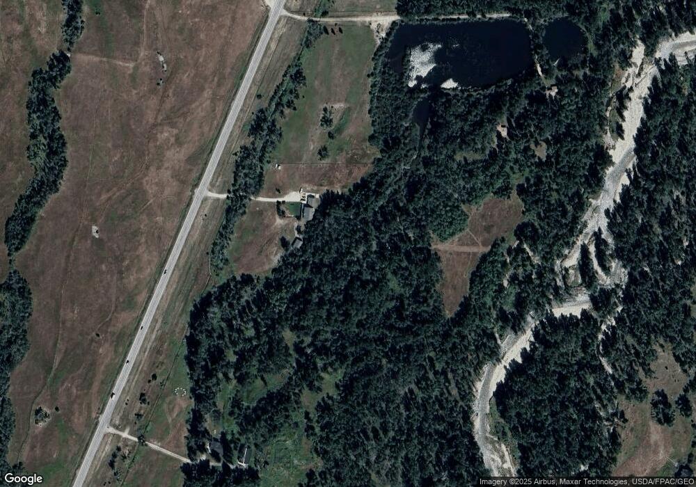
Map
Nearby Homes
- TBD-Lot 16 Horseshoe Trail
- TBD-Lot 10 Horseshoe Trail
- TBD-Lot 5 Horseshoe Trail
- NSN W Bench Rd
- 34 Elbow Creek Rd
- 7510 Us Highway 212
- 281 Taylor Hill Rd
- TBD E Bench Rd
- NSN Lightning Ln
- 308 Two Mile Bridge Rd
- 20 Rosebud View
- 48 Buttercup Dr
- 50 Big Sky Ln
- 581 Willow Creek Rd
- 16 Clear Creek School Rd
- 22 Kent Ln
- 89 Wild Rose Trail
- NSN Red Lodge Creek Rd
- 616 Red Lodge Creek Rd
- 17 Bighorn Ln
- 7658 U S 212
- 7640 U S 212
- 7638 Us Highway 212
- 7680 U S 212
- 67 Fox East Bench Rd
- 7680 Us Highway 212
- 7620 U S 212
- 7694 Us Highway 212
- 71 Fox East Bench Rd
- 7619 Us Highway 212
- 68 Fox East Bench Rd
- 51 Fox East Bench Rd
- 54 Fox East Bench Rd
- 164 W Bench Rd
- 7615 Us Highway 212
- 52 Fox East Bench Rd
- 153 W Bench Rd
- 7611 Us Highway 212
- 12 Fox West Bench Rd
- 7 Fox East Bench Rd