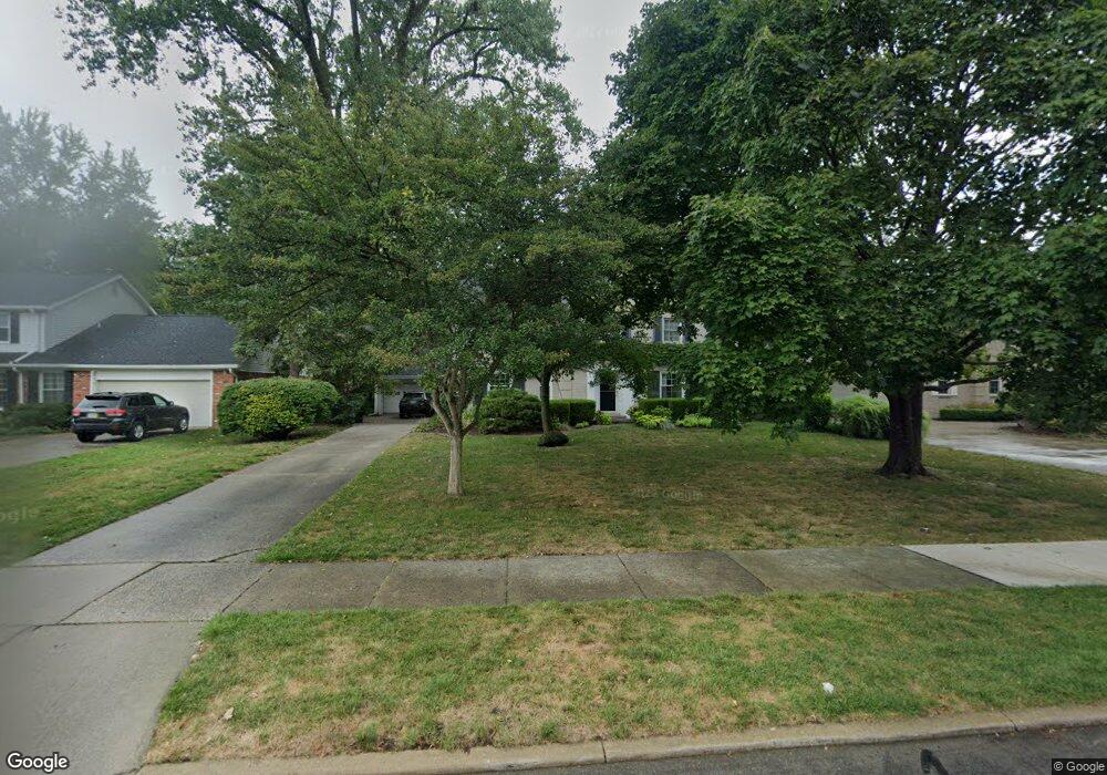
766 Middlesex Rd Grosse Pointe Park, MI 48230
Estimated Value: $650,000 - $905,000
Studio
3
Baths
3,350
Sq Ft
$224/Sq Ft
Est. Value
About This Home
This home is located at 766 Middlesex Rd, Grosse Pointe Park, MI 48230 and is currently estimated at $750,013, approximately $223 per square foot. 766 Middlesex Rd is a home located in Wayne County with nearby schools including Pierce Middle School, Grosse Pointe South High School, and Detroit Merit Charter Academy.
Ownership History
Date
Name
Owned For
Owner Type
Purchase Details
Closed on
May 15, 2024
Sold by
Barrett Robert and Barrett Patricia L
Bought by
Robert Barrett And Patricia L Barrett Living and Barrett
Current Estimated Value
Purchase Details
Closed on
Jan 14, 2003
Sold by
Barrett Robert and Barrett Patricia L
Bought by
Barrett Robert
Purchase Details
Closed on
Aug 16, 1995
Sold by
Hoerler Stephen D
Bought by
Barrett Robert and Barrett Patricia L
Create a Home Valuation Report for This Property
The Home Valuation Report is an in-depth analysis detailing your home's value as well as a comparison with similar homes in the area
Home Values in the Area
Average Home Value in this Area
Purchase History
| Date | Buyer | Sale Price | Title Company |
|---|---|---|---|
| Robert Barrett And Patricia L Barrett Living | -- | None Listed On Document | |
| Barrett Robert | -- | Metro Title Corp | |
| Barrett Robert | $292,500 | -- |
Source: Public Records
Tax History
| Year | Tax Paid | Tax Assessment Tax Assessment Total Assessment is a certain percentage of the fair market value that is determined by local assessors to be the total taxable value of land and additions on the property. | Land | Improvement |
|---|---|---|---|---|
| 2025 | $6,583 | $361,900 | $0 | $0 |
| 2024 | $6,336 | $341,100 | $0 | $0 |
| 2023 | $6,051 | $324,600 | $0 | $0 |
| 2022 | $5,748 | $258,100 | $0 | $0 |
| 2021 | $11,335 | $237,200 | $0 | $0 |
| 2019 | $11,664 | $234,900 | $0 | $0 |
| 2018 | $5,481 | $214,800 | $0 | $0 |
| 2017 | $12,101 | $165,400 | $0 | $0 |
| 2016 | $11,370 | $232,000 | $0 | $0 |
| 2015 | $20,511 | $226,100 | $0 | $0 |
| 2013 | $19,870 | $202,200 | $0 | $0 |
| 2012 | $5,671 | $213,900 | $66,600 | $147,300 |
Source: Public Records
Map
Nearby Homes
- 784 Barrington Rd
- 785 Barrington Rd
- 504 Alter Rd
- 552 Middlesex Rd
- 815 Harcourt Rd Unit 2
- 796 Harcourt Rd Unit 98
- 709 Ashland St
- 814 Harcourt Rd Unit 816
- 487 Philip St
- 943 Harcourt Rd Unit 45
- 74 Pointe Park Place Unit 311
- 32 Pointe Park Place Unit 31
- 26 Pointe Park Place Unit 303
- 877 Manistique St
- 908 Manistique St
- 225 Ashland St
- 178 Ashland St
- 175 Ashland St
- 1048 Lakepointe St Unit A
- 14536 E Jefferson Ave
- 774 Middlesex Rd
- 758 Middlesex Rd
- 782 Middlesex Rd
- 750 Middlesex Rd
- 765 Westchester Rd
- 757 Westchester Rd
- 773 Westchester Rd
- 742 Middlesex Rd
- 790 Middlesex Rd
- 749 Westchester Rd
- 781 Westchester Rd
- 765 Middlesex Rd
- 741 Westchester Rd
- 789 Westchester Rd
- 757 Middlesex Rd
- 734 Middlesex Rd
- 798 Middlesex Rd
- 749 Middlesex Rd
- 733 Westchester Rd
- 726 Middlesex Rd
Your Personal Tour Guide
Ask me questions while you tour the home.