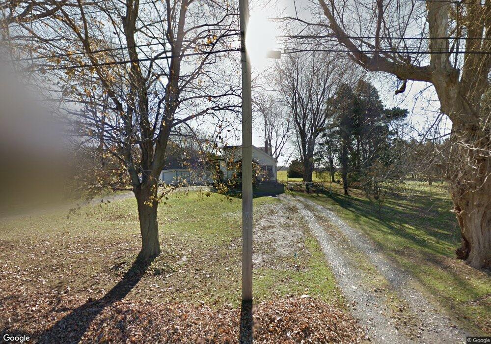
7661 Michael Rd Orchard Park, NY 14127
Estimated Value: $336,377 - $551,000
4
Beds
2
Baths
2,179
Sq Ft
$192/Sq Ft
Est. Value
About This Home
This home is located at 7661 Michael Rd, Orchard Park, NY 14127 and is currently estimated at $419,344, approximately $192 per square foot. 7661 Michael Rd is a home located in Erie County with nearby schools including Eggert Road Elementary School, Orchard Park Middle School, and Orchard Park High School.
Ownership History
Date
Name
Owned For
Owner Type
Purchase Details
Closed on
Dec 14, 2023
Sold by
Schmitt Michael J and Schmitt Jeffrey A
Bought by
Schmitt Roger B and Miller Juilie Anne
Current Estimated Value
Purchase Details
Closed on
Jul 23, 2010
Sold by
Schmitt Richard F and Schmitt Grace F
Bought by
Schmitt Michael J and Schmitt Jeffrey A
Create a Home Valuation Report for This Property
The Home Valuation Report is an in-depth analysis detailing your home's value as well as a comparison with similar homes in the area
Home Values in the Area
Average Home Value in this Area
Purchase History
| Date | Buyer | Sale Price | Title Company |
|---|---|---|---|
| Schmitt Roger B | -- | None Available | |
| Schmitt Roger B | -- | None Available | |
| Schmitt Roger B | -- | None Available | |
| Schmitt Roger B | -- | None Available | |
| Schmitt Michael J | -- | None Available | |
| Schmitt Michael J | -- | None Available | |
| Schmitt Michael J | -- | None Available |
Source: Public Records
Tax History
| Year | Tax Paid | Tax Assessment Tax Assessment Total Assessment is a certain percentage of the fair market value that is determined by local assessors to be the total taxable value of land and additions on the property. | Land | Improvement |
|---|---|---|---|---|
| 2024 | $5,207 | $78,400 | $16,100 | $62,300 |
| 2023 | $5,076 | $78,400 | $16,100 | $62,300 |
| 2022 | $4,975 | $78,400 | $16,100 | $62,300 |
| 2021 | $5,021 | $78,400 | $16,100 | $62,300 |
| 2020 | $3,676 | $78,400 | $16,100 | $62,300 |
| 2019 | $3,246 | $78,400 | $16,100 | $62,300 |
| 2018 | $3,484 | $78,400 | $16,100 | $62,300 |
| 2017 | $1,722 | $78,400 | $16,100 | $62,300 |
| 2016 | $3,279 | $78,400 | $16,100 | $62,300 |
| 2015 | -- | $78,400 | $16,100 | $62,300 |
| 2014 | -- | $78,400 | $16,100 | $62,300 |
Source: Public Records
Map
Nearby Homes
- 7 Knoche Way
- 24 In the Woods Ln
- 3432 Transit Rd
- 0 V L Angle Rd Unit B1624839
- 59 Southwick Dr
- 95 Graystone Ln
- 32 Falconcrest Ln
- 73 Southwick Dr
- 72 Oakbrook Dr
- 3600 Transit Rd
- 33 Vermont Place
- 50 Vermont Place
- 47 Greenspring Ct
- 79 Willowcrest Dr
- 104 Bradwood Rd
- 11 Taylor Ct
- 23 Greenspring Ct
- 14 Cheryl Rd
- 93 Hemlock Dr
- 2125 Transit Rd
- 7633 Michael Rd
- 7649 Michael Rd
- 7673 Michael Rd
- 7643 Michael Rd
- 7625 Michael Rd
- 7686 Michael Rd
- 7634 Michael Rd
- 7615 Michael Rd
- 7700 Michael Rd
- 7715 Michael Rd
- 3115 Angle Rd
- 3105 Angle Rd
- 7721 Michael Rd
- 7710 Michael Rd
- 3085 Angle Rd
- 7676 Michael Rd
- V/L Angle Rd
- 3003 Angle Rd
- 7735 Michael Rd
- 7728 Michael Rd
Your Personal Tour Guide
Ask me questions while you tour the home.