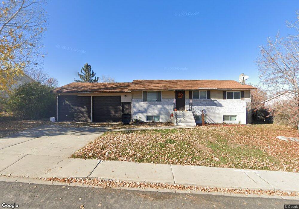
767 Arrowhead Trail Payson, UT 84651
Estimated Value: $460,000 - $536,813
About This Home
This home is located at 767 Arrowhead Trail, Payson, UT 84651 and is currently estimated at $482,203, approximately $231 per square foot. 767 Arrowhead Trail is a home located in Utah County with nearby schools including Barnett Elementary School, Salem Junior High School, and Valley View Middle School.
Ownership History
We collect this data history from publicly available records. To have your information removed, we recommend requesting removal directly through your county’s website.
Purchase Details
Home Financials for this Owner
Home Financials are based on the most recent Mortgage that was taken out on this home.Purchase Details
Home Financials for this Owner
Home Financials are based on the most recent Mortgage that was taken out on this home.Purchase Details
Home Financials for this Owner
Home Financials are based on the most recent Mortgage that was taken out on this home.Purchase Details
Home Financials for this Owner
Home Financials are based on the most recent Mortgage that was taken out on this home.Purchase Details
Purchase Details
Home Values in the Area
Average Home Value in this Area
Purchase History
We collect this data history from publicly available records. To have your information removed, we recommend requesting removal directly through your county’s website.
| Date | Buyer | Sale Price | Title Company |
|---|---|---|---|
| -- | Access Title | ||
| -- | Access Title | ||
| -- | Eagle Gate Title Ins Agcy | ||
| -- | Gt Title Services | ||
| -- | Hawkes Title Ins Agcy Llc | ||
| -- | Access Title Company | ||
| -- | Equity Title Tooele |
Mortgage History
We collect this data history from publicly available records. To have your information removed, we recommend requesting removal directly through your county’s website.
| Date | Status | Borrower | Loan Amount |
|---|---|---|---|
| Open | $344,700 | ||
| Previous Owner | $342,000 | ||
| Previous Owner | $274,060 |
Tax History
We collect this data history from publicly available records. To have your information removed, we recommend requesting removal directly through your county’s website.
| Year | Tax Paid | Tax Assessment Tax Assessment Total Assessment is a certain percentage of the fair market value that is determined by local assessors to be the total taxable value of land and additions on the property. | Land | Improvement |
|---|---|---|---|---|
| 2025 | $2,279 | $273,515 | -- | -- |
| 2024 | $2,279 | $231,935 | $0 | $0 |
| 2023 | $2,210 | $225,555 | $0 | $0 |
| 2022 | $2,224 | $223,190 | $0 | $0 |
| 2021 | $1,888 | $304,000 | $89,400 | $214,600 |
| 2020 | $1,792 | $282,200 | $81,300 | $200,900 |
| 2019 | $1,548 | $249,900 | $72,300 | $177,600 |
| 2018 | $1,446 | $225,000 | $64,600 | $160,400 |
| 2017 | $1,276 | $106,810 | $0 | $0 |
| 2016 | $1,234 | $102,575 | $0 | $0 |
| 2015 | $1,219 | $100,650 | $0 | $0 |
| 2014 | $1,201 | $99,880 | $0 | $0 |
Map
- 759 Arrowhead Trail
- 751 N 750 E
- 743 Arrowhead Trail
- 726 Tomahawk Dr
- 775 Arrowhead Trail
- 742 Tomahawk Dr
- 718 Arrowhead Trail
- 708 Tomahawk Dr
- 803 Black Hawk
- 741 N 750 E
- 803 N Blackhawk St
- 725 Arrowhead Trail
- 720 N 700 E
- 721 N 750 E
- 798 Black Hawk
- 727 Tomahawk Dr
- 686 Tomahawk Dr Unit Main Floor
- 686 Tomahawk Dr Unit TOP
- 709 Tomahawk Dr
- 743 Tomahawk Dr
Ask me questions while you tour the home.