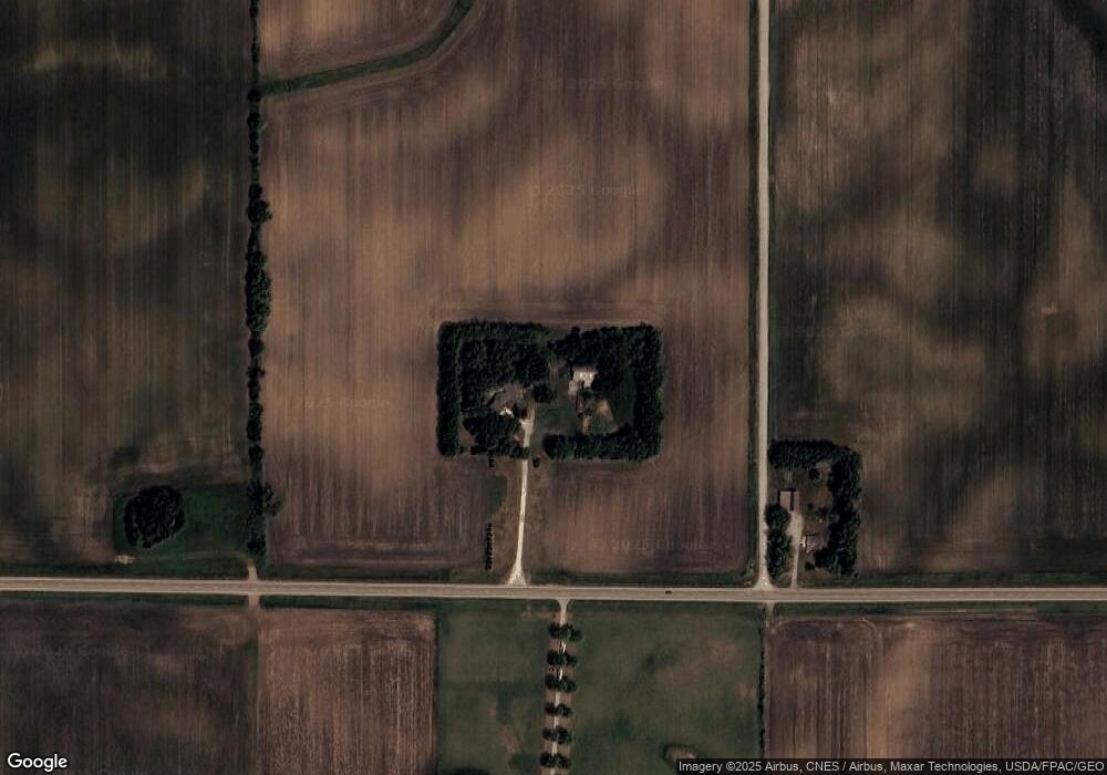
76880 150th St Albert Lea, MN 56007
Estimated Value: $317,000 - $402,934
2
Beds
3
Baths
1,606
Sq Ft
$221/Sq Ft
Est. Value
About This Home
This home is located at 76880 150th St, Albert Lea, MN 56007 and is currently estimated at $354,978, approximately $221 per square foot. 76880 150th St is a home located in Freeborn County with nearby schools including Glenville Emmons Elementary School and Glenville-Emmons Secondary School.
Ownership History
Date
Name
Owned For
Owner Type
Purchase Details
Closed on
Jul 30, 2021
Sold by
Larson Chris and Larson Marcia M
Bought by
Gudegon Cody L and Weisert Ali R
Current Estimated Value
Home Financials for this Owner
Home Financials are based on the most recent Mortgage that was taken out on this home.
Original Mortgage
$289,250
Outstanding Balance
$263,018
Interest Rate
2.9%
Mortgage Type
New Conventional
Estimated Equity
$91,960
Create a Home Valuation Report for This Property
The Home Valuation Report is an in-depth analysis detailing your home's value as well as a comparison with similar homes in the area
Purchase History
| Date | Buyer | Sale Price | Title Company |
|---|---|---|---|
| Gudegon Cody L | $305,000 | Mn Secured Title | |
| Gudgeon Cody Cody | $305,000 | -- |
Source: Public Records
Mortgage History
| Date | Status | Borrower | Loan Amount |
|---|---|---|---|
| Open | Gudegon Cody L | $289,250 | |
| Closed | Gudgeon Cody Cody | $289,250 |
Source: Public Records
Tax History
| Year | Tax Paid | Tax Assessment Tax Assessment Total Assessment is a certain percentage of the fair market value that is determined by local assessors to be the total taxable value of land and additions on the property. | Land | Improvement |
|---|---|---|---|---|
| 2025 | $3,210 | $416,200 | $78,700 | $337,500 |
| 2024 | $3,540 | $354,800 | $78,700 | $276,100 |
| 2023 | $3,058 | $339,800 | $78,700 | $261,100 |
| 2022 | $2,848 | $313,800 | $63,700 | $250,100 |
| 2021 | $3,048 | $258,700 | $54,100 | $204,600 |
| 2020 | $3,012 | $260,700 | $44,100 | $216,600 |
| 2019 | $2,672 | $262,300 | $44,100 | $218,200 |
| 2018 | $2,310 | $0 | $0 | $0 |
| 2016 | $1,614 | $0 | $0 | $0 |
| 2015 | $1,562 | $0 | $0 | $0 |
| 2014 | $1,708 | $0 | $0 | $0 |
| 2012 | $1,918 | $0 | $0 | $0 |
Source: Public Records
Map
Nearby Homes
- 16604 750th Ave
- 471 1st Ave SW
- 131 4th Place SE
- 74630 140th St
- 2310 Ethel Ave
- 705 E 18th St Unit Lot 71
- 15913 810th Ave
- 1606 Frank Hall Dr
- 1420 Frank Hall Dr
- 1425 Academy Ave
- 15592 720th Ave
- 1317 Frank Ave
- 623 E 6th St
- 1117 Frank Ave
- 1206 James Ave
- 610 E 4th St
- 509 E 4th St
- 304 E 3rd St
- 225 E 3rd St
- 306 E 2nd St
Your Personal Tour Guide
Ask me questions while you tour the home.