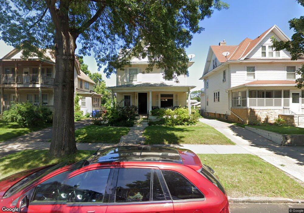
769 Marshall Ave Saint Paul, MN 55104
Summit-University NeighborhoodEstimated Value: $284,019 - $337,000
3
Beds
1
Bath
1,696
Sq Ft
$177/Sq Ft
Est. Value
About This Home
This home is located at 769 Marshall Ave, Saint Paul, MN 55104 and is currently estimated at $300,505, approximately $177 per square foot. 769 Marshall Ave is a home located in Ramsey County with nearby schools including Maxfield Magnet Elementary School, Hidden River Middle School, and Central Senior High School.
Ownership History
Date
Name
Owned For
Owner Type
Purchase Details
Closed on
Oct 4, 2018
Sold by
Merriewther Melvin B and Merriewther Rosie Lee
Bought by
Schramel David J and Erickson Rachel M
Current Estimated Value
Home Financials for this Owner
Home Financials are based on the most recent Mortgage that was taken out on this home.
Original Mortgage
$204,250
Outstanding Balance
$178,118
Interest Rate
4.5%
Mortgage Type
New Conventional
Estimated Equity
$122,387
Purchase Details
Closed on
Mar 20, 2005
Sold by
Walker Monroe and Walker Morie J
Bought by
Lee Rosie
Create a Home Valuation Report for This Property
The Home Valuation Report is an in-depth analysis detailing your home's value as well as a comparison with similar homes in the area
Home Values in the Area
Average Home Value in this Area
Purchase History
| Date | Buyer | Sale Price | Title Company |
|---|---|---|---|
| Schramel David J | $215,000 | Partners Title Llc | |
| Lee Rosie | -- | None Available |
Source: Public Records
Mortgage History
| Date | Status | Borrower | Loan Amount |
|---|---|---|---|
| Open | Schramel David J | $204,250 |
Source: Public Records
Tax History Compared to Growth
Tax History
| Year | Tax Paid | Tax Assessment Tax Assessment Total Assessment is a certain percentage of the fair market value that is determined by local assessors to be the total taxable value of land and additions on the property. | Land | Improvement |
|---|---|---|---|---|
| 2025 | $3,588 | $267,600 | $51,300 | $216,300 |
| 2023 | $3,588 | $241,000 | $51,300 | $189,700 |
| 2022 | $3,592 | $253,100 | $51,300 | $201,800 |
| 2021 | $3,288 | $233,700 | $51,300 | $182,400 |
| 2020 | $3,468 | $223,100 | $51,300 | $171,800 |
| 2019 | $2,956 | $206,600 | $51,300 | $155,300 |
| 2018 | $2,864 | $179,500 | $51,300 | $128,200 |
| 2017 | $2,942 | $188,900 | $51,300 | $137,600 |
| 2016 | $2,572 | $0 | $0 | $0 |
| 2015 | $2,620 | $172,900 | $41,000 | $131,900 |
| 2014 | $2,568 | $0 | $0 | $0 |
Source: Public Records
Map
Nearby Homes
- 786 Iglehart Ave
- 797 Iglehart Ave
- 287 Avon St N
- 298 Avon St N
- 291 Fisk St
- 853 Iglehart Ave
- 783 Hague Ave
- 681 Dayton Ave
- 909 Marshall Ave
- 663 Iglehart Ave
- 861 Saint Anthony Ave
- 742 Hague Ave
- 652 Dayton Ave
- 929 Selby Ave
- 811 Ashland Ave
- 969 Carroll Ave
- 915 Fuller Ave
- 987 Dayton Ave
- 676 Ashland Ave Unit 6
- 1002 Marshall Ave
- 765 Marshall Ave
- 775 Marshall Ave
- 777 Marshall Ave
- 761 Marshall Ave
- 770 Iglehart Ave
- 757 Marshall Ave
- 774 Iglehart Ave
- 766 Iglehart Ave
- 776 Iglehart Ave
- 783 Marshall Ave
- 783 783 Marshall Ave
- 770 Marshall Ave
- 753 Marshall Ave
- 772 Marshall Ave
- 253 Avon St N
- 776 Marshall Ave
- 764 Marshall Ave
- 762 Marshall Ave
- 787 Marshall Ave
- 780 Iglehart Ave