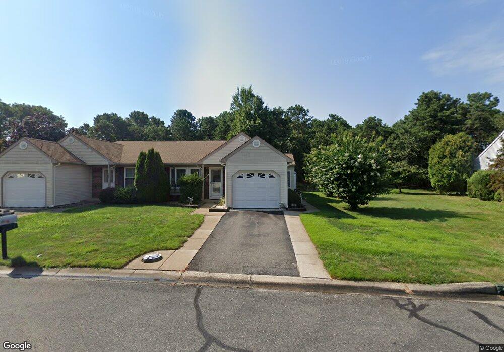
76B Sunset Rd Whiting, NJ 08759
Estimated Value: $216,000 - $239,000
2
Beds
2
Baths
1,184
Sq Ft
$190/Sq Ft
Est. Value
About This Home
This home is located at 76B Sunset Rd, Whiting, NJ 08759 and is currently estimated at $224,480, approximately $189 per square foot. 76B Sunset Rd is a home located in Ocean County with nearby schools including Manchester Township High School.
Ownership History
Date
Name
Owned For
Owner Type
Purchase Details
Closed on
Aug 19, 2003
Sold by
Luzzi Lorraine
Bought by
Mclaughlin Margaret
Current Estimated Value
Purchase Details
Closed on
Jun 30, 1999
Sold by
Carluccio Benjamin and Carluccio Pamela J
Bought by
Luzzi Lorraine
Home Financials for this Owner
Home Financials are based on the most recent Mortgage that was taken out on this home.
Original Mortgage
$46,550
Interest Rate
7.39%
Create a Home Valuation Report for This Property
The Home Valuation Report is an in-depth analysis detailing your home's value as well as a comparison with similar homes in the area
Home Values in the Area
Average Home Value in this Area
Purchase History
| Date | Buyer | Sale Price | Title Company |
|---|---|---|---|
| Mclaughlin Margaret | $87,000 | -- | |
| Luzzi Lorraine | $49,000 | Commonwealth Land Title Ins |
Source: Public Records
Mortgage History
| Date | Status | Borrower | Loan Amount |
|---|---|---|---|
| Previous Owner | Luzzi Lorraine | $46,550 |
Source: Public Records
Tax History
| Year | Tax Paid | Tax Assessment Tax Assessment Total Assessment is a certain percentage of the fair market value that is determined by local assessors to be the total taxable value of land and additions on the property. | Land | Improvement |
|---|---|---|---|---|
| 2025 | $2,222 | $216,000 | $50,200 | $165,800 |
| 2024 | $2,109 | $90,500 | $8,600 | $81,900 |
Source: Public Records
Map
Nearby Homes
- 69D Sunset Rd Unit 60
- 1B Greenwood Ln Unit B
- 7B Greenwood Ln Unit 62
- 1 Stonybrook Rd Unit B
- 19 Dartmouth St
- 33 Medford Rd Unit A
- 6 Holyoke Ct
- 4 Stonybrook Ct Unit 60
- 9A Greenwood Ln
- 55 Penwood Dr
- 6B Ardmore St
- 12B Golden Ct
- 36 Penwood Dr Unit 55
- 55 Milford Ave Unit E
- 19B Medford Rd Unit 61
- 51A Sunset Rd
- 40A Stonybrook Rd Unit 62
- 23 B Portsmouth St Sec 55
- 23B Portsmouth St
- 6A Winthrop Place
- 76A Sunset Rd
- 76A Sunset Rd Unit B
- 74 Sunset Rd
- 78 Sunset Rd
- 78 Sunset Rd Unit 61
- 77A Sunset Rd
- 77B Sunset Rd
- 72 Sunset Rd
- 12 Stonybrook Rd
- 75 Sunset Rd
- 75 Sunset Rd Unit 61
- 79 Sunset Rd
- 79 Sunset Rd Unit 61
- 82B Sunset Rd
- 82B Sunset Rd Unit B
- 38C Easton Dr
- 73B Sunset Rd
- 38D Easton Dr
- 38D Easton Dr Unit 61
- 82A Sunset Rd
Your Personal Tour Guide
Ask me questions while you tour the home.