76R Tuttle Rd Durham, CT 06422
Estimated Value: $421,000 - $518,000
3
Beds
3
Baths
1,132
Sq Ft
$409/Sq Ft
Est. Value
About This Home
This home is located at 76R Tuttle Rd, Durham, CT 06422 and is currently estimated at $462,516, approximately $408 per square foot. 76R Tuttle Rd is a home located in Middlesex County with nearby schools including Frank Ward Strong School, Coginchaug Regional High School, and Yeshiva Gedolah of Waterbury- Mesivta Durham.
Ownership History
Date
Name
Owned For
Owner Type
Purchase Details
Closed on
Jul 17, 2020
Sold by
Crowell Patricia K
Bought by
Monroe Timothy S and Monroe Hollen E
Current Estimated Value
Home Financials for this Owner
Home Financials are based on the most recent Mortgage that was taken out on this home.
Original Mortgage
$187,500
Outstanding Balance
$127,639
Interest Rate
3.1%
Mortgage Type
New Conventional
Estimated Equity
$334,877
Purchase Details
Closed on
Sep 7, 2017
Sold by
Crowell Patricia K
Bought by
Monroe Timothy S and Monroe Hollen E
Create a Home Valuation Report for This Property
The Home Valuation Report is an in-depth analysis detailing your home's value as well as a comparison with similar homes in the area
Home Values in the Area
Average Home Value in this Area
Purchase History
| Date | Buyer | Sale Price | Title Company |
|---|---|---|---|
| Monroe Timothy S | -- | None Available | |
| Monroe Timothy S | $225,000 | -- |
Source: Public Records
Mortgage History
| Date | Status | Borrower | Loan Amount |
|---|---|---|---|
| Open | Monroe Timothy S | $187,500 | |
| Previous Owner | Monroe Timothy S | $61,000 | |
| Previous Owner | Monroe Timothy S | $114,000 |
Source: Public Records
Tax History
| Year | Tax Paid | Tax Assessment Tax Assessment Total Assessment is a certain percentage of the fair market value that is determined by local assessors to be the total taxable value of land and additions on the property. | Land | Improvement |
|---|---|---|---|---|
| 2025 | $8,135 | $217,560 | $78,160 | $139,400 |
| 2024 | $8,272 | $231,700 | $78,190 | $153,510 |
| 2023 | $8,059 | $231,700 | $78,190 | $153,510 |
| 2022 | $8,010 | $231,700 | $78,190 | $153,510 |
| 2021 | $8,239 | $231,700 | $78,190 | $153,510 |
| 2020 | $7,616 | $212,870 | $73,290 | $139,580 |
| 2019 | $7,640 | $212,870 | $73,290 | $139,580 |
| 2018 | $4,122 | $155,540 | $73,290 | $82,250 |
| 2017 | $6,144 | $155,540 | $73,290 | $82,250 |
| 2016 | $5,492 | $155,540 | $73,290 | $82,250 |
| 2015 | $5,831 | $172,830 | $90,580 | $82,250 |
| 2014 | $5,741 | $172,830 | $90,580 | $82,250 |
Source: Public Records
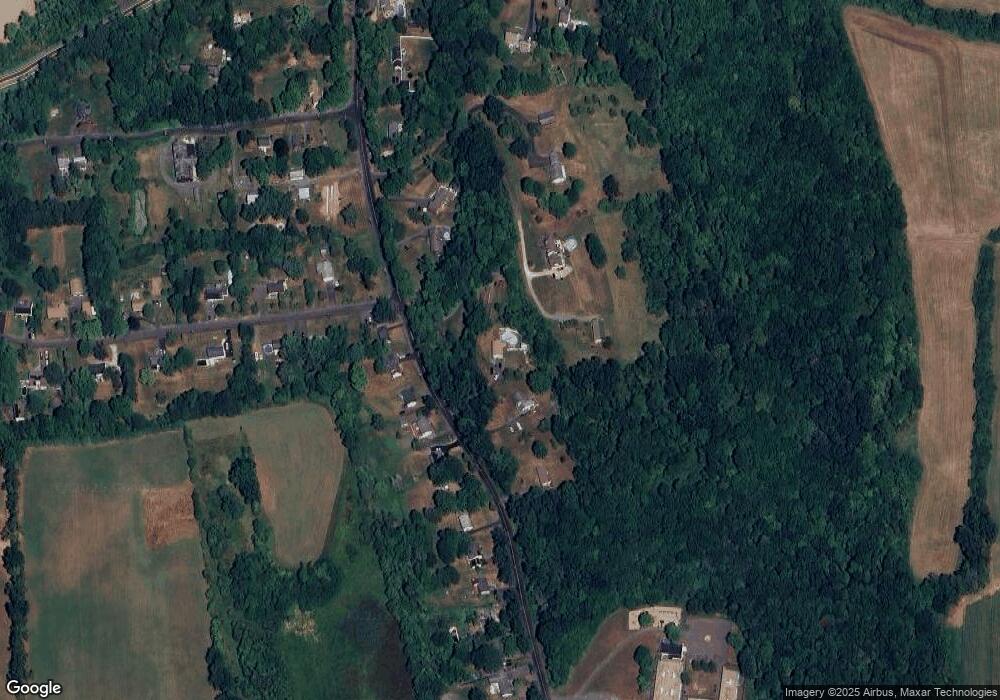
Map
Nearby Homes
- 26 Old Wallingford Rd
- 147 Tuttle Rd
- 148 & 153 Wallingford Rd
- 148 Wallingford Rd
- 153 Wallingford Rd
- 280 Tuttle Rd
- 0 Dinatale Dr
- 268 Main St
- 89 S End Ave
- 22 R Olde Yankee Way
- 204 Old Blue Hills Rd
- 16 Marie Ln
- 5 Race Track Hollow
- 18 Talcott Ridge Dr
- 88 Powder Hill Rd
- 0 Round Hill Lot 17 Rd
- 46 Cliffside Dr
- 4 Jans Way
- 30 Cherry Ridge Rd
- 20 Lakeview Estates Unit 20
Your Personal Tour Guide
Ask me questions while you tour the home.