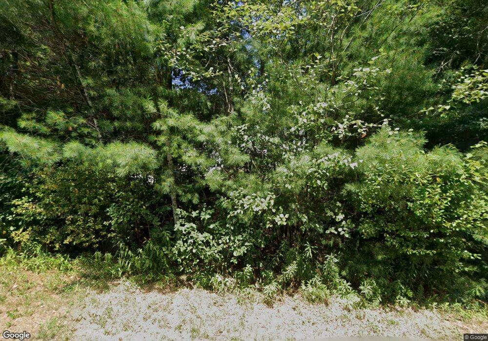
77 Enfield Dr Orange, MA 01364
Estimated Value: $265,000 - $420,627
6
Beds
4
Baths
1,680
Sq Ft
$195/Sq Ft
Est. Value
About This Home
This home is located at 77 Enfield Dr, Orange, MA 01364 and is currently estimated at $327,407, approximately $194 per square foot. 77 Enfield Dr is a home located in Franklin County with nearby schools including Fisher Hill and Ralph C Mahar Regional School.
Ownership History
Date
Name
Owned For
Owner Type
Purchase Details
Closed on
Sep 7, 2023
Sold by
Phelps David S
Bought by
Phelps Amanda S
Current Estimated Value
Purchase Details
Closed on
Jun 15, 2020
Sold by
Phelps David S
Bought by
Phelps David S and Phelps Amanda S
Purchase Details
Closed on
Sep 1, 2000
Sold by
Dl Rt and Leblanc Tr
Bought by
Phelps David S
Purchase Details
Closed on
Sep 29, 1998
Sold by
Robichaud Paula J and Athol Sb
Bought by
Leblanc Iii and Leblanc Arthur J
Create a Home Valuation Report for This Property
The Home Valuation Report is an in-depth analysis detailing your home's value as well as a comparison with similar homes in the area
Home Values in the Area
Average Home Value in this Area
Purchase History
| Date | Buyer | Sale Price | Title Company |
|---|---|---|---|
| Phelps Amanda S | -- | None Available | |
| Phelps David S | -- | None Available | |
| Phelps David S | $120,000 | -- | |
| Leblanc Iii | $66,000 | -- |
Source: Public Records
Mortgage History
| Date | Status | Borrower | Loan Amount |
|---|---|---|---|
| Previous Owner | Leblanc Iii | $50,000 | |
| Previous Owner | Leblanc Iii | $35,000 | |
| Previous Owner | Leblanc Iii | $112,700 |
Source: Public Records
Tax History Compared to Growth
Tax History
| Year | Tax Paid | Tax Assessment Tax Assessment Total Assessment is a certain percentage of the fair market value that is determined by local assessors to be the total taxable value of land and additions on the property. | Land | Improvement |
|---|---|---|---|---|
| 2025 | $3,657 | $222,300 | $41,900 | $180,400 |
| 2024 | $3,825 | $219,300 | $41,900 | $177,400 |
| 2023 | $3,939 | $219,300 | $41,900 | $177,400 |
| 2022 | $3,690 | $193,000 | $41,900 | $151,100 |
| 2021 | $4,028 | $200,900 | $63,300 | $137,600 |
| 2020 | $3,962 | $194,900 | $62,800 | $132,100 |
| 2019 | $3,993 | $177,300 | $56,200 | $121,100 |
| 2018 | $3,971 | $181,000 | $63,400 | $117,600 |
| 2017 | $3,843 | $181,000 | $63,400 | $117,600 |
| 2016 | $3,975 | $183,200 | $55,400 | $127,800 |
| 2015 | $3,830 | $184,400 | $55,400 | $129,000 |
| 2014 | $3,849 | $195,000 | $55,400 | $139,600 |
Source: Public Records
Map
Nearby Homes
