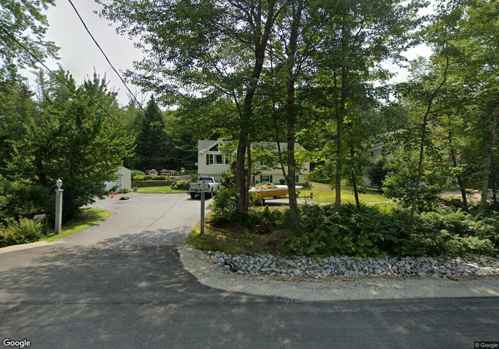
77 Heath Rd Center Conway, NH 03813
Estimated Value: $439,000 - $556,000
3
Beds
1
Bath
1,242
Sq Ft
$406/Sq Ft
Est. Value
About This Home
This home is located at 77 Heath Rd, Center Conway, NH 03813 and is currently estimated at $503,977, approximately $405 per square foot. 77 Heath Rd is a home located in Carroll County with nearby schools including A. Crosby Kennett Middle School, Kennett High School, and Robert Frost Charter School.
Ownership History
Date
Name
Owned For
Owner Type
Purchase Details
Closed on
Apr 1, 2021
Sold by
Kiesman Kathleen A
Bought by
Kiesman Kathleen A and Kiesman Timothy J
Current Estimated Value
Home Financials for this Owner
Home Financials are based on the most recent Mortgage that was taken out on this home.
Original Mortgage
$200,000
Outstanding Balance
$148,115
Interest Rate
3%
Mortgage Type
New Conventional
Estimated Equity
$355,862
Purchase Details
Closed on
Mar 23, 1987
Bought by
Kiesman Kathleen A
Create a Home Valuation Report for This Property
The Home Valuation Report is an in-depth analysis detailing your home's value as well as a comparison with similar homes in the area
Home Values in the Area
Average Home Value in this Area
Purchase History
| Date | Buyer | Sale Price | Title Company |
|---|---|---|---|
| Kiesman Kathleen A | -- | None Available | |
| Kiesman Kathleen A | -- | None Available | |
| Kiesman Kathleen A | -- | -- |
Source: Public Records
Mortgage History
| Date | Status | Borrower | Loan Amount |
|---|---|---|---|
| Open | Kiesman Kathleen A | $200,000 | |
| Previous Owner | Kiesman Kathleen A | $94,506 |
Source: Public Records
Tax History Compared to Growth
Tax History
| Year | Tax Paid | Tax Assessment Tax Assessment Total Assessment is a certain percentage of the fair market value that is determined by local assessors to be the total taxable value of land and additions on the property. | Land | Improvement |
|---|---|---|---|---|
| 2024 | $6,366 | $530,500 | $123,600 | $406,900 |
| 2023 | $5,823 | $539,700 | $123,600 | $416,100 |
| 2022 | $4,279 | $234,600 | $61,200 | $173,400 |
| 2021 | $3,833 | $234,600 | $61,200 | $173,400 |
| 2020 | $3,981 | $228,900 | $61,200 | $167,700 |
| 2019 | $3,965 | $228,900 | $61,200 | $167,700 |
| 2018 | $4,125 | $197,200 | $56,200 | $141,000 |
| 2017 | $3,363 | $168,300 | $56,200 | $112,100 |
| 2016 | $2,987 | $154,700 | $56,200 | $98,500 |
| 2015 | $2,946 | $154,300 | $56,200 | $98,100 |
| 2014 | -- | $154,300 | $56,200 | $98,100 |
| 2013 | $2,834 | $158,700 | $56,200 | $102,500 |
Source: Public Records
Map
Nearby Homes
- 63 Mill St
- 19 Saco St Unit 92
- 19 Saco St Unit 59
- 19 Saco St Unit 58
- 1049 E Main St
- 00 Stritch Rd Unit 58
- 258 Odell Hill Rd
- 212 Odell Hill Rd
- 42 Buckingham Dr
- 1139 E Conway Rd
- 33 Longbow Dr
- 357 Lamplighters Park
- 574 Old Mill Rd
- 25 Singer Ln
- 26 Campfire St
- 357 Lamplighters Dr
- 48 Sands Cir Unit 48D
- 18 Woodland Grove Rd
- 1440 E Conway Rd
- 169 Mountainvale Dr