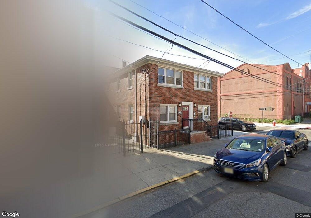
77 Hutton St Unit 3 Jersey City, NJ 07307
The Heights NeighborhoodEstimated Value: $917,000 - $1,182,000
2
Beds
1
Bath
2,754
Sq Ft
$366/Sq Ft
Est. Value
About This Home
This home is located at 77 Hutton St Unit 3, Jersey City, NJ 07307 and is currently estimated at $1,007,000, approximately $365 per square foot. 77 Hutton St Unit 3 is a home located in Hudson County with nearby schools including Charles E. Trefurt School, William L. Dickinson High School, and Dr Ronald McNair High School.
Ownership History
Date
Name
Owned For
Owner Type
Purchase Details
Closed on
Jul 12, 2005
Sold by
Seymour Ruby and Seymour Dennis
Bought by
Nguyen Thomas and Nguyen Cathy
Current Estimated Value
Home Financials for this Owner
Home Financials are based on the most recent Mortgage that was taken out on this home.
Original Mortgage
$400,000
Outstanding Balance
$208,940
Interest Rate
5.67%
Mortgage Type
Fannie Mae Freddie Mac
Estimated Equity
$798,060
Create a Home Valuation Report for This Property
The Home Valuation Report is an in-depth analysis detailing your home's value as well as a comparison with similar homes in the area
Home Values in the Area
Average Home Value in this Area
Purchase History
| Date | Buyer | Sale Price | Title Company |
|---|---|---|---|
| Nguyen Thomas | $510,000 | First American Title Ins Co |
Source: Public Records
Mortgage History
| Date | Status | Borrower | Loan Amount |
|---|---|---|---|
| Open | Nguyen Thomas | $400,000 |
Source: Public Records
Tax History Compared to Growth
Tax History
| Year | Tax Paid | Tax Assessment Tax Assessment Total Assessment is a certain percentage of the fair market value that is determined by local assessors to be the total taxable value of land and additions on the property. | Land | Improvement |
|---|---|---|---|---|
| 2025 | $13,284 | $594,900 | $268,800 | $326,100 |
| 2024 | $13,367 | $594,900 | $268,800 | $326,100 |
| 2023 | $13,367 | $594,900 | $268,800 | $326,100 |
| 2022 | $12,600 | $594,900 | $268,800 | $326,100 |
| 2021 | $9,542 | $594,900 | $268,800 | $326,100 |
| 2020 | $9,578 | $594,900 | $268,800 | $326,100 |
| 2019 | $9,161 | $594,900 | $268,800 | $326,100 |
| 2018 | $1,786 | $594,900 | $268,800 | $326,100 |
| 2017 | $9,360 | $120,000 | $34,800 | $85,200 |
| 2016 | $9,241 | $120,000 | $34,800 | $85,200 |
| 2015 | $8,978 | $120,000 | $34,800 | $85,200 |
| 2014 | $8,921 | $133,500 | $34,800 | $98,700 |
Source: Public Records
Map
Nearby Homes
- 28 Cambridge Ave Unit 2
- 21 Hancock Ave Unit 3
- 92 Hutton St
- 32 Hancock Ave Unit 3
- 32 Hancock Ave Unit 2
- 11 Cambridge Ave Unit 2
- 281 Central Ave Unit 4A
- 62 Hancock Ave
- 129 Franklin St Unit A1
- 130 Griffith St
- 117 Sherman Ave
- 123 Webster Ave
- 151 Webster Ave Unit 101
- 106 Griffith St
- 44 Sherman Ave Unit 5F
- 91 Hancock Ave Unit 2
- 91 Hancock Ave Unit 3
- 91 Hancock Ave Unit 1
- 91 Hancock Ave
- 126 Webster Ave Unit 1G
- 77 Hutton St Unit 79
- 77 Hutton St Unit 2
- 77 Hutton St Unit 4
- 77 Hutton St Unit 1
- 36 Cambridge Ave Unit 2L
- 36 Cambridge Ave Unit 3
- 36 Cambridge Ave Unit 2R
- 36 Cambridge Ave Unit 3L
- 36 Cambridge Ave
- 75 Hutton St
- 73 Hutton St
- 34 Cambridge Ave Unit 34
- 71 Hutton St
- 32 Cambridge Ave
- 69 Hutton St
- 69 Hutton St Unit 1
- 30 Cambridge Ave Unit 30
- 30 Cambridge Ave Unit 1
- 30 Cambridge Ave Unit 2
- 78 Hutton St Unit 1