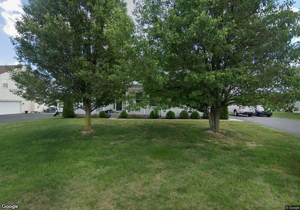
77 Loder Dr Smyrna, DE 19977
Estimated Value: $616,000 - $707,000
5
Beds
4
Baths
3,467
Sq Ft
$189/Sq Ft
Est. Value
About This Home
This home is located at 77 Loder Dr, Smyrna, DE 19977 and is currently estimated at $655,453, approximately $189 per square foot. 77 Loder Dr is a home located in Kent County with nearby schools including Sunnyside Elementary School, John Bassett Moore Intermediate School, and Smyrna Middle School.
Ownership History
Date
Name
Owned For
Owner Type
Purchase Details
Closed on
Jul 1, 2010
Sold by
Selene Rmof Reo Acquisition Ii Llc
Bought by
Price Thelbert R and Price Pamela M
Current Estimated Value
Home Financials for this Owner
Home Financials are based on the most recent Mortgage that was taken out on this home.
Original Mortgage
$210,000
Outstanding Balance
$137,434
Interest Rate
4.73%
Mortgage Type
New Conventional
Estimated Equity
$518,019
Purchase Details
Closed on
Dec 21, 2009
Sold by
Taylor Bean & Whitaker Mortgage Corp
Bought by
Selene Rmof Reo Acquisition Ii Llc
Purchase Details
Closed on
Jan 3, 2006
Sold by
Sheats P Lloyd and Sheats David E
Bought by
Mff 3 Llc
Create a Home Valuation Report for This Property
The Home Valuation Report is an in-depth analysis detailing your home's value as well as a comparison with similar homes in the area
Home Values in the Area
Average Home Value in this Area
Purchase History
| Date | Buyer | Sale Price | Title Company |
|---|---|---|---|
| Price Thelbert R | $295,000 | Nrt Mid Atlantic Title Servi | |
| Selene Rmof Reo Acquisition Ii Llc | $171,387 | Accommodation | |
| Mff 3 Llc | $110,940 | None Available |
Source: Public Records
Mortgage History
| Date | Status | Borrower | Loan Amount |
|---|---|---|---|
| Open | Price Thelbert R | $210,000 |
Source: Public Records
Tax History
| Year | Tax Paid | Tax Assessment Tax Assessment Total Assessment is a certain percentage of the fair market value that is determined by local assessors to be the total taxable value of land and additions on the property. | Land | Improvement |
|---|---|---|---|---|
| 2025 | $2,874 | $579,700 | $108,400 | $471,300 |
| 2024 | $2,841 | $579,700 | $108,400 | $471,300 |
| 2023 | $2,993 | $97,700 | $8,900 | $88,800 |
| 2022 | $2,885 | $97,700 | $8,900 | $88,800 |
| 2021 | $2,823 | $97,700 | $8,900 | $88,800 |
| 2020 | $2,407 | $93,300 | $8,900 | $84,400 |
| 2019 | $2,425 | $93,300 | $8,900 | $84,400 |
| 2018 | $2,425 | $93,300 | $8,900 | $84,400 |
| 2017 | $2,419 | $93,300 | $0 | $0 |
| 2016 | $2,388 | $93,300 | $0 | $0 |
| 2015 | $2,370 | $93,300 | $0 | $0 |
| 2014 | $2,233 | $93,300 | $0 | $0 |
Source: Public Records
Map
Nearby Homes
- 40 Loder Dr
- 342 Bryn Ln
- 31 Summit Dr
- 9 Summit Dr Unit LEGEND
- 4 Summit Dr Unit JACKSON
- 3 Summit Dr
- 7 Summit Dr Unit GATSBY
- 6 Summit Dr Unit JEFFERSON
- 10 Summit Dr Unit GLADWYN
- 8 Summit Dr Unit BRANDYWINE
- 174 Hardrock Dr
- 114 Hardrock Dr
- 263 Smoky Ln
- Sassafras II Plan at Greene Hill Farm Estates
- Bayard Plan at Village of Eastridge - 55+ Active Adult - Village of Eastridge
- 33 Seldon Dr Unit 3 OXFORD
- 33 Seldon Dr Unit 2 GREENSPRING
- Asbury Plan at Village of Eastridge - 55+ Active Adult - Village of Eastridge
- 33 Seldon Dr Unit 1 EDEN
- Eden Plan at Greene Hill Farm Estates