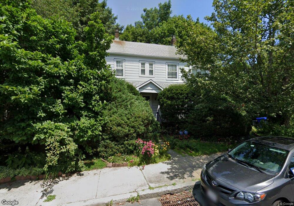
77 Perham St West Roxbury, MA 02132
West Roxbury NeighborhoodEstimated Value: $769,000 - $940,000
3
Beds
1
Bath
1,542
Sq Ft
$549/Sq Ft
Est. Value
About This Home
This home is located at 77 Perham St, West Roxbury, MA 02132 and is currently estimated at $845,844, approximately $548 per square foot. 77 Perham St is a home located in Suffolk County with nearby schools including St Theresa School, Holy Name Parish School, and Catholic Memorial School.
Create a Home Valuation Report for This Property
The Home Valuation Report is an in-depth analysis detailing your home's value as well as a comparison with similar homes in the area
Home Values in the Area
Average Home Value in this Area
Tax History Compared to Growth
Tax History
| Year | Tax Paid | Tax Assessment Tax Assessment Total Assessment is a certain percentage of the fair market value that is determined by local assessors to be the total taxable value of land and additions on the property. | Land | Improvement |
|---|---|---|---|---|
| 2025 | $8,133 | $702,300 | $296,800 | $405,500 |
| 2024 | $6,755 | $619,700 | $310,200 | $309,500 |
| 2023 | $6,339 | $590,200 | $295,400 | $294,800 |
| 2022 | $5,838 | $536,600 | $268,600 | $268,000 |
| 2021 | $5,437 | $509,600 | $263,300 | $246,300 |
| 2020 | $5,056 | $478,800 | $235,700 | $243,100 |
| 2019 | $4,784 | $453,900 | $203,100 | $250,800 |
| 2018 | $4,405 | $420,300 | $203,100 | $217,200 |
| 2017 | $4,362 | $411,900 | $203,100 | $208,800 |
| 2016 | $4,399 | $399,900 | $203,100 | $196,800 |
| 2015 | $4,568 | $377,200 | $196,700 | $180,500 |
| 2014 | $4,477 | $355,900 | $196,700 | $159,200 |
Source: Public Records
Map
Nearby Homes
- 73 Dent St Unit 1
- 183 Temple St
- 539 Lagrange St
- 59 Chesbrough Rd
- 76 Potomac St
- 14 Sanborn Ave
- 28 Dow Rd
- 105 Chesbrough Rd
- 340 Baker St Unit 1
- 425 Lagrange St Unit 203
- 331 Vermont St
- 27-29 Temple St
- 9 Carroll St
- 76 Vermont St
- 1216 Vfw Pkwy Unit 40
- 54 Sturges Rd
- 110 Park St Unit 3
- 348 Lagrange St
- 37 Hastings St Unit 103
- 7 Cass St Unit 6