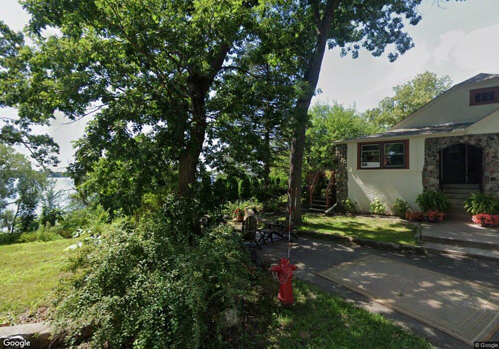
77 Quail St Saint Paul, MN 55115
Estimated Value: $1,476,000 - $3,679,000
3
Beds
5
Baths
3,522
Sq Ft
$741/Sq Ft
Est. Value
About This Home
This home is located at 77 Quail St, Saint Paul, MN 55115 and is currently estimated at $2,609,285, approximately $740 per square foot. 77 Quail St is a home located in Washington County with nearby schools including O.H. Anderson Elementary School, Wildwood Elementary School, and Mahtomedi Middle School.
Ownership History
Date
Name
Owned For
Owner Type
Purchase Details
Closed on
Sep 25, 2013
Sold by
Bertini Michael
Bought by
Helgeson Thomas and Helgeson Ann
Current Estimated Value
Purchase Details
Closed on
Jul 14, 2006
Sold by
Appert Abraham J and Appert Kristen Tschida
Bought by
Bertini Michael
Home Financials for this Owner
Home Financials are based on the most recent Mortgage that was taken out on this home.
Original Mortgage
$975,000
Interest Rate
6.73%
Mortgage Type
Purchase Money Mortgage
Purchase Details
Closed on
Jan 28, 2005
Sold by
Crowley Brian F
Bought by
Not Provided
Create a Home Valuation Report for This Property
The Home Valuation Report is an in-depth analysis detailing your home's value as well as a comparison with similar homes in the area
Home Values in the Area
Average Home Value in this Area
Purchase History
| Date | Buyer | Sale Price | Title Company |
|---|---|---|---|
| Helgeson Thomas | $790,000 | Network Title Inc | |
| Bertini Michael | $1,325,000 | -- | |
| Not Provided | $1,085,000 | -- |
Source: Public Records
Mortgage History
| Date | Status | Borrower | Loan Amount |
|---|---|---|---|
| Previous Owner | Bertini Michael | $975,000 |
Source: Public Records
Tax History
| Year | Tax Paid | Tax Assessment Tax Assessment Total Assessment is a certain percentage of the fair market value that is determined by local assessors to be the total taxable value of land and additions on the property. | Land | Improvement |
|---|---|---|---|---|
| 2024 | $29,548 | $2,338,900 | $1,177,500 | $1,161,400 |
| 2023 | $29,548 | $2,406,000 | $1,248,200 | $1,157,800 |
| 2022 | $26,432 | $2,319,100 | $1,131,000 | $1,188,100 |
| 2021 | $25,626 | $1,784,000 | $870,000 | $914,000 |
| 2020 | $25,912 | $1,786,000 | $910,900 | $875,100 |
| 2019 | $26,676 | $1,781,700 | $876,400 | $905,300 |
| 2018 | $25,232 | $1,742,200 | $876,400 | $865,800 |
| 2017 | $25,280 | $1,742,200 | $876,400 | $865,800 |
| 2016 | -- | $1,700,100 | $740,600 | $959,500 |
Source: Public Records
Map
Nearby Homes
- 1610 Briarwood Ave
- 209 Quail St
- 1025 Mahtomedi Ave
- 177 Kale St
- 1130 Griffin Ave
- xxx Bryant Ave
- 44 Grove St
- 820 Hallam Ave N
- XXX 89th St N
- 107 Hallam Ave S
- 125 Glenmar Ave
- 326 Faversham
- 3935 E County N
- 8320 Dellwood Road Ct N
- 2583 County Road F E
- 2569 Stacker Blvd
- 223 Old Wildwood Rd
- 235 Old Wildwood Rd
- 10055 Ideal Ave N
- 2431 S Shore Blvd