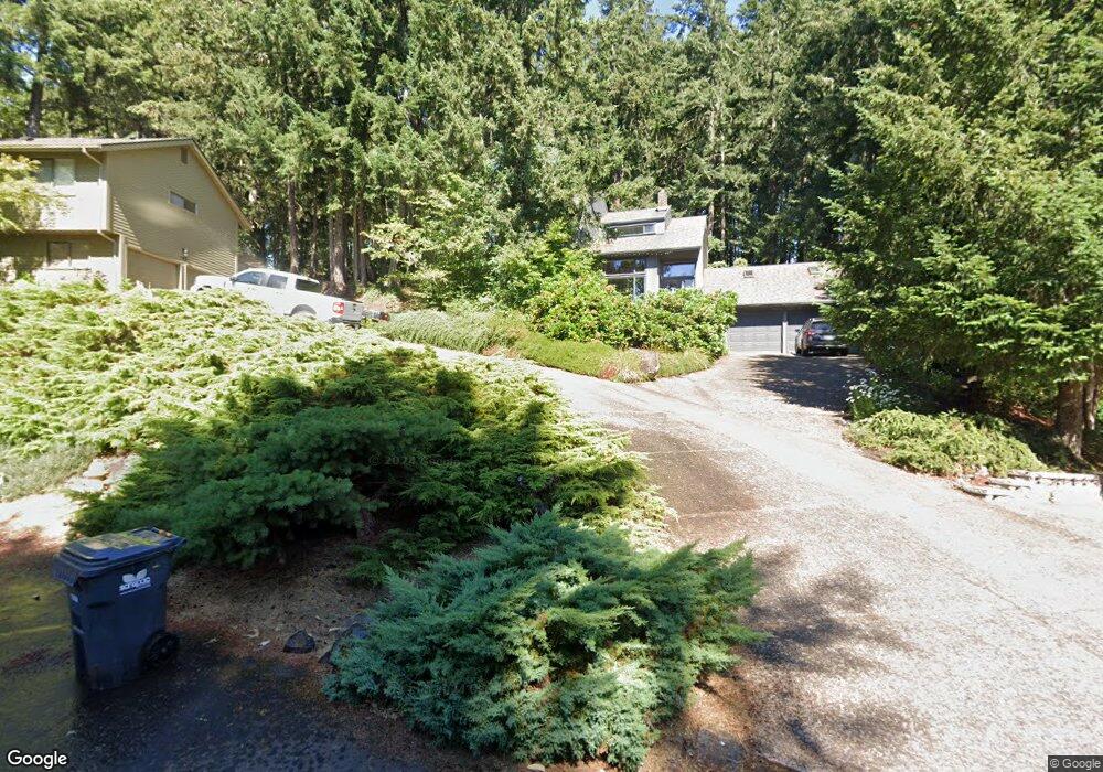
770 Brookside Dr Eugene, OR 97405
Crest Drive NeighborhoodEstimated Value: $540,000 - $658,000
3
Beds
3
Baths
2,338
Sq Ft
$255/Sq Ft
Est. Value
About This Home
This home is located at 770 Brookside Dr, Eugene, OR 97405 and is currently estimated at $595,213, approximately $254 per square foot. 770 Brookside Dr is a home located in Lane County with nearby schools including Edgewood Community Elementary School, Spencer Butte Middle School, and South Eugene High School.
Ownership History
Date
Name
Owned For
Owner Type
Purchase Details
Closed on
Jul 28, 2020
Sold by
Weit Kathryn R
Bought by
Hardenbrook Rowan Chamberlin and Service William Wesley
Current Estimated Value
Purchase Details
Closed on
Jul 17, 2000
Sold by
Ulrickson David K and Ulrickson Dawn Z
Bought by
Weit Kathryn R
Home Financials for this Owner
Home Financials are based on the most recent Mortgage that was taken out on this home.
Original Mortgage
$100,000
Interest Rate
8.24%
Purchase Details
Closed on
Oct 15, 1999
Sold by
Willingham Michael J and Willingham A R
Bought by
Ulrickson David K and Ulrickson Dawn Z
Home Financials for this Owner
Home Financials are based on the most recent Mortgage that was taken out on this home.
Original Mortgage
$187,900
Interest Rate
7.77%
Create a Home Valuation Report for This Property
The Home Valuation Report is an in-depth analysis detailing your home's value as well as a comparison with similar homes in the area
Home Values in the Area
Average Home Value in this Area
Purchase History
| Date | Buyer | Sale Price | Title Company |
|---|---|---|---|
| Hardenbrook Rowan Chamberlin | $400,000 | Cascade Title Co | |
| Weit Kathryn R | $242,500 | Cascade Title Co | |
| Ulrickson David K | $234,900 | Title Guaranty Company |
Source: Public Records
Mortgage History
| Date | Status | Borrower | Loan Amount |
|---|---|---|---|
| Previous Owner | Weit Kathryn R | $100,000 | |
| Previous Owner | Ulrickson David K | $187,900 | |
| Closed | Ulrickson David K | $35,200 |
Source: Public Records
Tax History
| Year | Tax Paid | Tax Assessment Tax Assessment Total Assessment is a certain percentage of the fair market value that is determined by local assessors to be the total taxable value of land and additions on the property. | Land | Improvement |
|---|---|---|---|---|
| 2025 | $6,090 | $312,559 | -- | -- |
| 2024 | $6,014 | $303,456 | -- | -- |
| 2023 | $6,014 | $294,618 | $0 | $0 |
| 2022 | $5,634 | $286,037 | $0 | $0 |
| 2021 | $5,292 | $277,706 | $0 | $0 |
| 2020 | $6,420 | $325,956 | $0 | $0 |
| 2019 | $6,149 | $316,463 | $0 | $0 |
| 2018 | $5,756 | $298,297 | $0 | $0 |
| 2017 | $5,412 | $298,297 | $0 | $0 |
| 2016 | $5,172 | $289,609 | $0 | $0 |
| 2015 | $5,019 | $281,174 | $0 | $0 |
| 2014 | $4,959 | $272,984 | $0 | $0 |
Source: Public Records
Map
Nearby Homes
- 0 Pine View Ct Unit 758820410
- 653 Brookside Dr
- 4040 Southpointe Dr
- 0 W 40th Ave Unit 3 545854116
- 0 W 40th Ave Unit 3 639571582
- 806 Sundance St
- 422 Stonewood Dr Unit 422
- 418 Stonewood Dr Unit 418
- 278 Rockridge Ct
- 223 Trailside Loop Unit 223
- 3854 Monroe St
- 151 Treehill Loop Unit 151
- 152 Treehill Loop Unit 152
- 143 Treehill Loop Unit 143
- 126 Treehill Loop Unit 126
- 21 Westbrook Way
- 17 Westbrook Way
- 36 Westbrook Way
- 320 Dellwood Dr
- 453 Dellwood Dr
- 768 Brookside Dr
- 774 Brookside Dr
- 776 Brookside Dr
- 780 Brookside Dr
- 766 Brookside Dr
- 764 Brookside Dr
- 782 Brookside Dr
- 762 Brookside Dr
- 786 Brookside Dr
- 788 Brookside Dr
- 790 Pine View Ct
- 790 Brookside Dr
- 784 Brookside Dr
- 760 Brookside Dr
- 1055 Pinewood Terrace
- 720 Brookside Dr
- 795 Pine View Ct
- 708 Brookside Dr
- 750 Pine View Ct
- 756 Brookside Dr
Your Personal Tour Guide
Ask me questions while you tour the home.