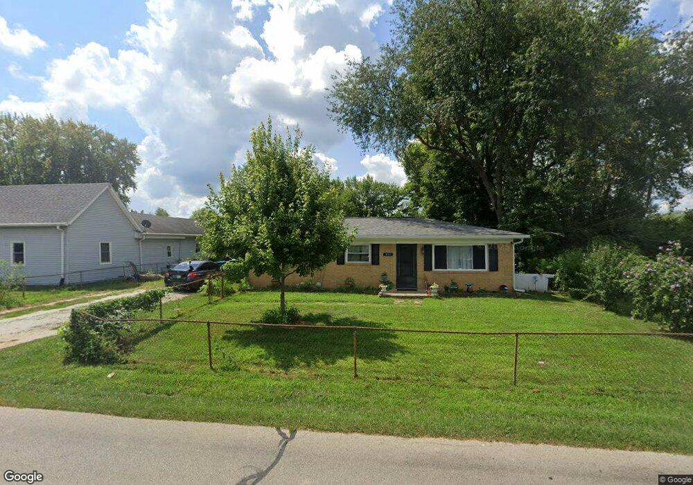
770 Main St Cicero, IN 46034
Estimated Value: $185,000 - $344,000
3
Beds
1
Bath
960
Sq Ft
$242/Sq Ft
Est. Value
About This Home
This home is located at 770 Main St, Cicero, IN 46034 and is currently estimated at $232,524, approximately $242 per square foot. 770 Main St is a home located in Hamilton County with nearby schools including Hamilton Heights Primary School, Hamilton Heights Elementary School, and Hamilton Heights Middle School.
Ownership History
Date
Name
Owned For
Owner Type
Purchase Details
Closed on
Oct 8, 2024
Sold by
Stewart Ian R
Bought by
Stewart Ian R and Stewart Jessica L
Current Estimated Value
Purchase Details
Closed on
Apr 4, 2011
Sold by
Stewart Autumn and Stewart Autumn L
Bought by
Stewart Ian R
Purchase Details
Closed on
Jul 29, 2004
Sold by
Reid Oda M
Bought by
Stewart Ian R and Stewart Autumn L
Home Financials for this Owner
Home Financials are based on the most recent Mortgage that was taken out on this home.
Original Mortgage
$82,264
Interest Rate
6.34%
Mortgage Type
FHA
Create a Home Valuation Report for This Property
The Home Valuation Report is an in-depth analysis detailing your home's value as well as a comparison with similar homes in the area
Home Values in the Area
Average Home Value in this Area
Purchase History
| Date | Buyer | Sale Price | Title Company |
|---|---|---|---|
| Stewart Ian R | -- | None Listed On Document | |
| Stewart Ian R | -- | None Available | |
| Stewart Ian R | -- | -- |
Source: Public Records
Mortgage History
| Date | Status | Borrower | Loan Amount |
|---|---|---|---|
| Previous Owner | Stewart Ian R | $82,264 |
Source: Public Records
Tax History Compared to Growth
Tax History
| Year | Tax Paid | Tax Assessment Tax Assessment Total Assessment is a certain percentage of the fair market value that is determined by local assessors to be the total taxable value of land and additions on the property. | Land | Improvement |
|---|---|---|---|---|
| 2024 | $541 | $110,300 | $36,100 | $74,200 |
| 2023 | $541 | $95,400 | $36,100 | $59,300 |
| 2022 | $756 | $105,200 | $45,900 | $59,300 |
| 2021 | $677 | $97,200 | $45,900 | $51,300 |
| 2020 | $681 | $97,200 | $45,900 | $51,300 |
| 2019 | $450 | $79,100 | $25,400 | $53,700 |
| 2018 | $395 | $73,500 | $25,400 | $48,100 |
| 2017 | $394 | $72,800 | $25,400 | $47,400 |
| 2016 | $398 | $74,400 | $25,400 | $49,000 |
| 2014 | $379 | $69,000 | $25,400 | $43,600 |
| 2013 | $379 | $69,000 | $25,400 | $43,600 |
Source: Public Records
Map
Nearby Homes
- 999 Shoreline Cir
- 600 Lakeview Ln
- 100 Confidential Dr
- 140 Wiley St
- 70 Armitage St
- 826 N Lanyard Dr
- 1209 Half Moon Ln
- 1689 Nantucket Dr
- 18 Point Ln
- 14 Morse Ct
- 31 Bluewater Dr
- 15 Morse Ct
- 815 Morse Landing Dr
- 243 Alvor Ct
- 1940 Nantucket Dr
- 221 Common Loon Blvd
- 131 Batteese Dr
- 29 Point Ln
- 34 Hollister Way
- 24 Karner Blue Ct