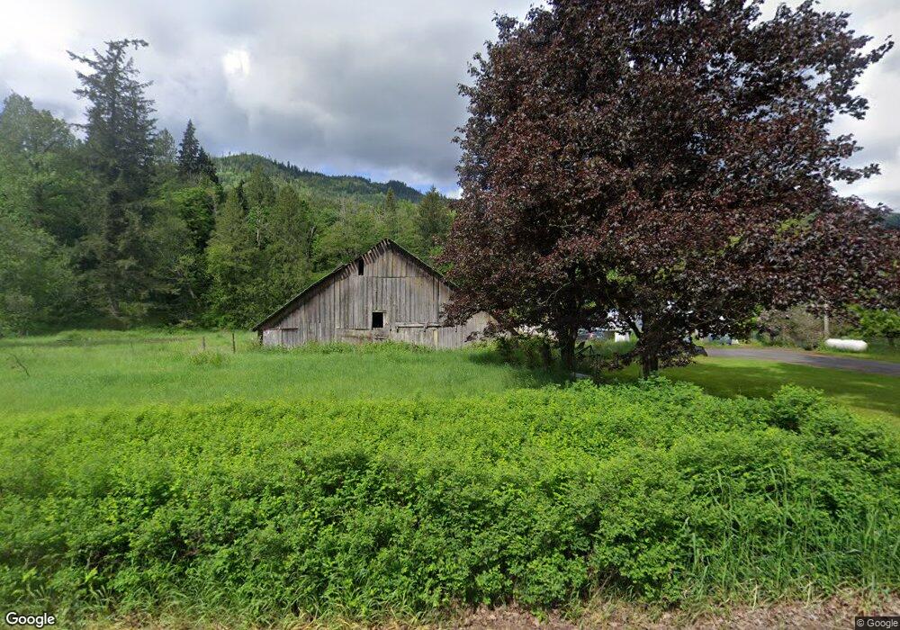
7711 Kendall Rd Maple Falls, WA 98266
Estimated Value: $362,336 - $519,000
3
Beds
1
Bath
1,396
Sq Ft
$299/Sq Ft
Est. Value
About This Home
This home is located at 7711 Kendall Rd, Maple Falls, WA 98266 and is currently estimated at $417,334, approximately $298 per square foot. 7711 Kendall Rd is a home located in Whatcom County with nearby schools including Mount Baker Senior High School.
Ownership History
Date
Name
Owned For
Owner Type
Purchase Details
Closed on
Nov 7, 2023
Sold by
Faricy Karly K
Bought by
Hoepner Michael R
Current Estimated Value
Purchase Details
Closed on
May 24, 2022
Sold by
Cooper Janet F
Bought by
Hoepner Michael R and Faricy Karly K
Home Financials for this Owner
Home Financials are based on the most recent Mortgage that was taken out on this home.
Original Mortgage
$150,000
Interest Rate
4.43%
Mortgage Type
New Conventional
Create a Home Valuation Report for This Property
The Home Valuation Report is an in-depth analysis detailing your home's value as well as a comparison with similar homes in the area
Home Values in the Area
Average Home Value in this Area
Purchase History
| Date | Buyer | Sale Price | Title Company |
|---|---|---|---|
| Hoepner Michael R | $228,408 | Whatcom Land Title | |
| Hoepner Michael R | -- | Whatcom Land Title |
Source: Public Records
Mortgage History
| Date | Status | Borrower | Loan Amount |
|---|---|---|---|
| Previous Owner | Hoepner Michael R | $150,000 |
Source: Public Records
Tax History Compared to Growth
Tax History
| Year | Tax Paid | Tax Assessment Tax Assessment Total Assessment is a certain percentage of the fair market value that is determined by local assessors to be the total taxable value of land and additions on the property. | Land | Improvement |
|---|---|---|---|---|
| 2024 | $3,411 | $500,512 | $273,842 | $226,670 |
| 2023 | $3,411 | $456,815 | $255,542 | $201,273 |
| 2022 | $384 | $374,430 | $209,456 | $164,974 |
| 2021 | $367 | $301,957 | $168,915 | $34,985 |
| 2020 | $342 | $173,962 | $61,214 | $112,748 |
| 2019 | $312 | $225,462 | $126,123 | $99,339 |
| 2018 | $374 | $147,776 | $52,000 | $95,776 |
| 2017 | $343 | $142,633 | $50,688 | $91,945 |
| 2016 | $332 | $137,680 | $48,928 | $88,752 |
| 2015 | $662 | $8,104 | $0 | $8,104 |
| 2014 | -- | $126,815 | $47,002 | $79,813 |
| 2013 | -- | $126,575 | $46,762 | $79,813 |
Source: Public Records
Map
Nearby Homes
- 6479 Little Big Horn Rd
- 7911 Oregon Trail
- 7900 Oregon Trail
- 6483 Mt Baker Hwy
- 7933 Oregon Trail
- 7952 Apache Dr
- 7945 Santa fe Trail
- 6426 Santa fe Trail
- 642 Sprague Valley Dr
- 6284 Lariat Place
- 172 Sprague Valley Dr
- 8095 Mosey Ct
- 6331 Overland Trail
- 6360 Overland Trail
- 6360 Blackfoot Place
- 8147 Peaceful Valley Ct
- 8151 Peaceful Valley Ct
- 6373 Eastwood Rd
- 846 Deep Valley Dr
- 8256 Gold Run Dr