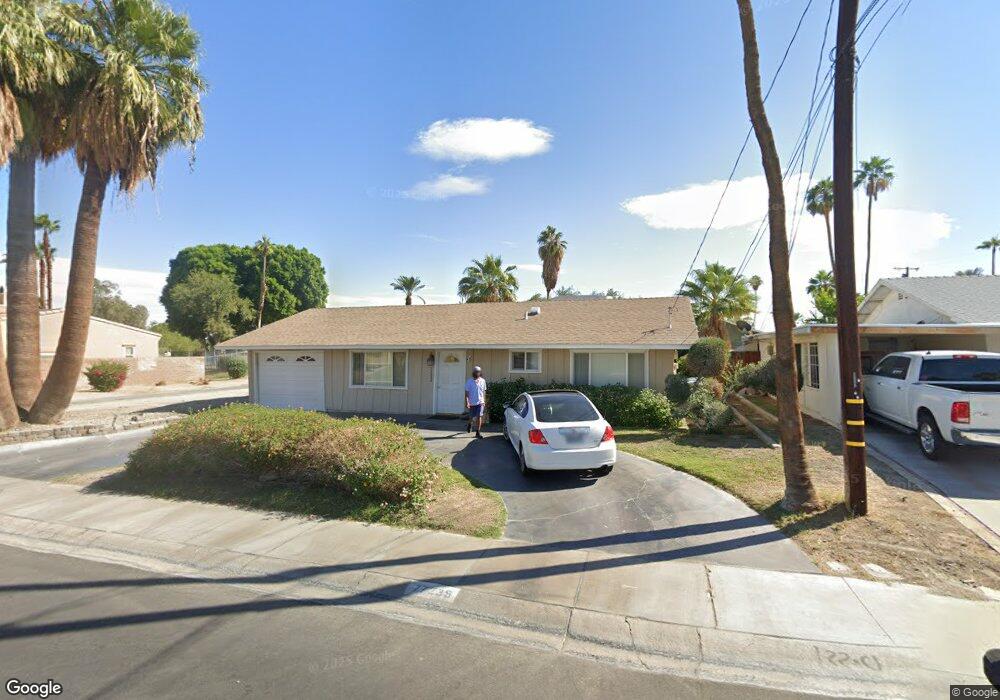
77235 California Dr Palm Desert, CA 92211
Estimated Value: $330,000 - $403,000
2
Beds
2
Baths
1,064
Sq Ft
$353/Sq Ft
Est. Value
About This Home
This home is located at 77235 California Dr, Palm Desert, CA 92211 and is currently estimated at $375,235, approximately $352 per square foot. 77235 California Dr is a home located in Riverside County with nearby schools including Gerald R. Ford Elementary School, Colonel Mitchell Paige Middle School, and Palm Desert High School.
Ownership History
Date
Name
Owned For
Owner Type
Purchase Details
Closed on
Sep 8, 2022
Sold by
Cretti Daniel & Martha Trust
Bought by
Cretti Martha A Trust
Current Estimated Value
Purchase Details
Closed on
Mar 31, 2003
Sold by
Bruce Mc Nicol Partnership
Bought by
Cretti Daniel and Cretti Martha
Purchase Details
Closed on
Apr 5, 2002
Sold by
Jackson David L
Bought by
Mcnicol Bruce
Home Financials for this Owner
Home Financials are based on the most recent Mortgage that was taken out on this home.
Original Mortgage
$100,000
Interest Rate
7.13%
Mortgage Type
Purchase Money Mortgage
Purchase Details
Closed on
Feb 13, 1997
Sold by
Jackson Katherine L
Bought by
Jackson Katherine L
Create a Home Valuation Report for This Property
The Home Valuation Report is an in-depth analysis detailing your home's value as well as a comparison with similar homes in the area
Home Values in the Area
Average Home Value in this Area
Purchase History
| Date | Buyer | Sale Price | Title Company |
|---|---|---|---|
| Cretti Martha A Trust | -- | -- | |
| Cretti Daniel | $184,000 | Fidelity Natl Title Ins Co | |
| Mcnicol Bruce | $125,000 | Fidelity National Title Ins | |
| Mcnicol Bruce | -- | Fidelity National Title Ins | |
| Jackson Katherine L | -- | -- |
Source: Public Records
Mortgage History
| Date | Status | Borrower | Loan Amount |
|---|---|---|---|
| Previous Owner | Mcnicol Bruce | $100,000 |
Source: Public Records
Tax History Compared to Growth
Tax History
| Year | Tax Paid | Tax Assessment Tax Assessment Total Assessment is a certain percentage of the fair market value that is determined by local assessors to be the total taxable value of land and additions on the property. | Land | Improvement |
|---|---|---|---|---|
| 2025 | $3,959 | $266,462 | $89,056 | $177,406 |
| 2023 | $3,959 | $256,117 | $85,599 | $170,518 |
| 2022 | $3,690 | $251,096 | $83,921 | $167,175 |
| 2021 | $3,585 | $246,174 | $82,276 | $163,898 |
| 2020 | $3,526 | $243,651 | $81,433 | $162,218 |
| 2019 | $3,464 | $238,875 | $79,837 | $159,038 |
| 2018 | $3,403 | $234,192 | $78,272 | $155,920 |
| 2017 | $3,235 | $220,000 | $74,000 | $146,000 |
| 2016 | $3,057 | $208,000 | $70,000 | $138,000 |
| 2015 | $2,744 | $180,000 | $60,000 | $120,000 |
| 2014 | $2,595 | $178,000 | $59,000 | $119,000 |
Source: Public Records
Map
Nearby Homes
- 77265 California Dr
- 42660 Iowa St
- 77322 Missouri Dr
- 42440 Kansas St
- 77235 Minnesota Ave
- 42700 Wisconsin Ave
- 42660 Wisconsin Ave
- 43000 Connecticut St
- 77190 Minnesota Ave
- 42725 Turqueries Ave
- 43305 Illinois Ave
- 77380 Minnesota Ave
- 42405 Turqueries Ave
- 76948 Scimitar Way
- 43170 Warner Trail
- 77575 California Dr
- 76914 Scimitar Way
- 42265 Wisconsin Ave
- 42706 Liolios Dr
- 77178 Pauma Valley Way
- 77225 California Dr
- 42900 Massachusetts Ct
- 77245 California Dr
- 42920 Massachusetts Ct
- 42720 Iowa St
- 77255 California Dr
- 77230 California Dr
- 77205 California Dr
- 42940 Massachusetts Ct
- 77220 California Dr
- 42875 Massachusetts Ct
- 42700 Iowa St
- 42895 Massachusetts Ct
- 77195 California Dr
- 42960 Massachusetts Ct
- 42925 Massachusetts Ct
- 42705 Iowa St
- 77210 California Dr
- 42945 Massachusetts Ct
- 42680 Iowa St