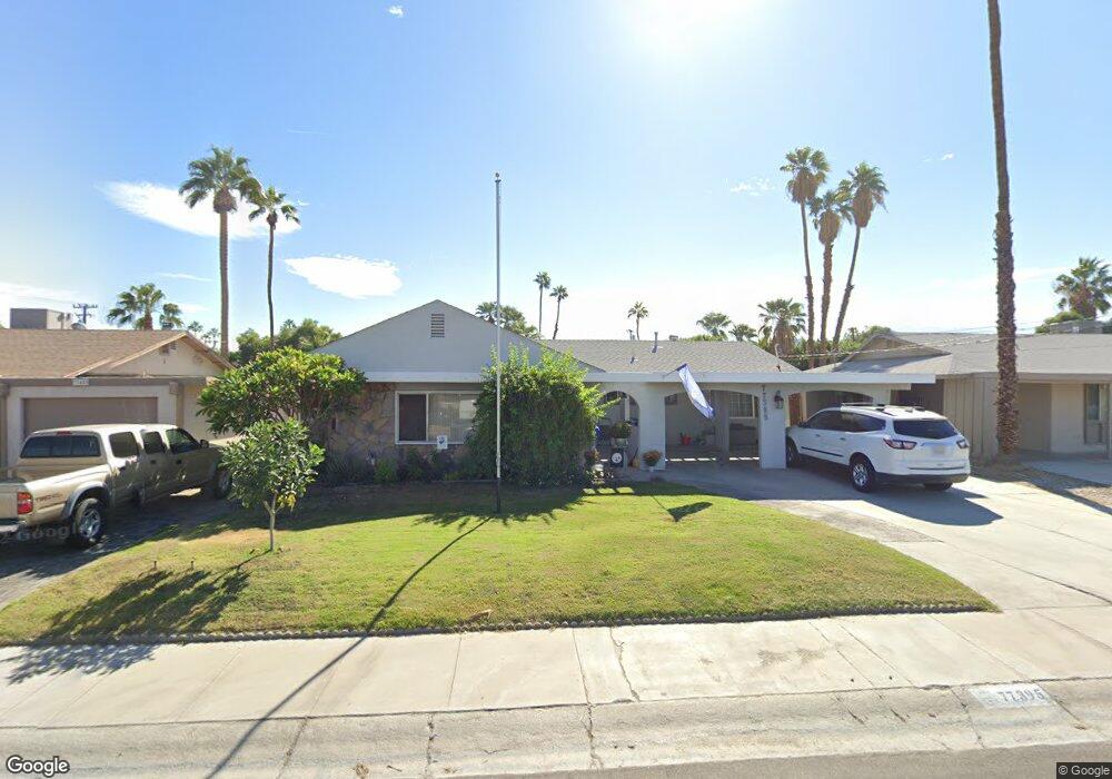
77395 California Dr Palm Desert, CA 92211
Estimated Value: $375,000 - $482,000
3
Beds
2
Baths
1,449
Sq Ft
$294/Sq Ft
Est. Value
About This Home
This home is located at 77395 California Dr, Palm Desert, CA 92211 and is currently estimated at $426,725, approximately $294 per square foot. 77395 California Dr is a home located in Riverside County with nearby schools including Gerald R. Ford Elementary School, Colonel Mitchell Paige Middle School, and Palm Desert High School.
Ownership History
Date
Name
Owned For
Owner Type
Purchase Details
Closed on
Jun 2, 1998
Sold by
Nevards John A and Mae Nevards Goldie
Bought by
Chaloux Todd P and Chaloux Jennifer A
Current Estimated Value
Home Financials for this Owner
Home Financials are based on the most recent Mortgage that was taken out on this home.
Original Mortgage
$97,920
Outstanding Balance
$19,692
Interest Rate
7.11%
Mortgage Type
VA
Estimated Equity
$407,033
Purchase Details
Closed on
Jul 6, 1994
Sold by
Nevards John A and Nevards Goldie M
Bought by
Nevards John A and Nevards Goldie Mae
Create a Home Valuation Report for This Property
The Home Valuation Report is an in-depth analysis detailing your home's value as well as a comparison with similar homes in the area
Home Values in the Area
Average Home Value in this Area
Purchase History
| Date | Buyer | Sale Price | Title Company |
|---|---|---|---|
| Chaloux Todd P | $95,454 | First American Title Ins Co | |
| Nevards John A | -- | -- |
Source: Public Records
Mortgage History
| Date | Status | Borrower | Loan Amount |
|---|---|---|---|
| Open | Chaloux Todd P | $97,920 |
Source: Public Records
Tax History Compared to Growth
Tax History
| Year | Tax Paid | Tax Assessment Tax Assessment Total Assessment is a certain percentage of the fair market value that is determined by local assessors to be the total taxable value of land and additions on the property. | Land | Improvement |
|---|---|---|---|---|
| 2025 | $2,564 | $153,242 | $63,848 | $89,394 |
| 2023 | $2,564 | $147,294 | $61,370 | $85,924 |
| 2022 | $2,352 | $144,407 | $60,167 | $84,240 |
| 2021 | $2,289 | $141,577 | $58,988 | $82,589 |
| 2020 | $2,255 | $140,127 | $58,384 | $81,743 |
| 2019 | $2,218 | $137,381 | $57,240 | $80,141 |
| 2018 | $2,181 | $134,688 | $56,118 | $78,570 |
| 2017 | $2,139 | $132,048 | $55,018 | $77,030 |
| 2016 | $2,097 | $129,460 | $53,940 | $75,520 |
| 2015 | $2,086 | $127,518 | $53,131 | $74,387 |
| 2014 | $1,942 | $125,023 | $52,092 | $72,931 |
Source: Public Records
Map
Nearby Homes
- 77322 Missouri Dr
- 77380 Minnesota Ave
- 77265 California Dr
- 77630 California Dr
- 77650 California Dr
- 42639 Devonshire St
- 77235 Minnesota Ave
- 42660 Iowa St
- 77190 Minnesota Ave
- 42585 Iowa St
- 41823 Preston Trail
- 43170 Warner Trail
- 42440 Kansas St
- 77583 Woodhaven Dr S Unit 832
- 77645 Mountain View
- 41934 Preston Trail
- 77178 Pauma Valley Way
- 41806 Jupiter Hills Ct
- 43305 Illinois Ave
- 41690 Woodhaven Dr W
- 77385 California Dr
- 77405 California Dr
- 77375 California Dr
- 77400 Missouri Dr
- 77390 Missouri Dr
- 42505 Warner Trail
- 77410 Missouri Dr
- 42535 Warner Trail
- 42565 Warner Trail
- 77365 California Dr
- 77410 California Dr
- 77400 California Dr
- 42445 Warner Trail
- 77370 Missouri Dr
- 77390 California Dr
- 42605 Warner Trail
- 77380 California Dr
- 77355 California Dr
- 42435 Warner Trail
- 77360 Missouri Dr