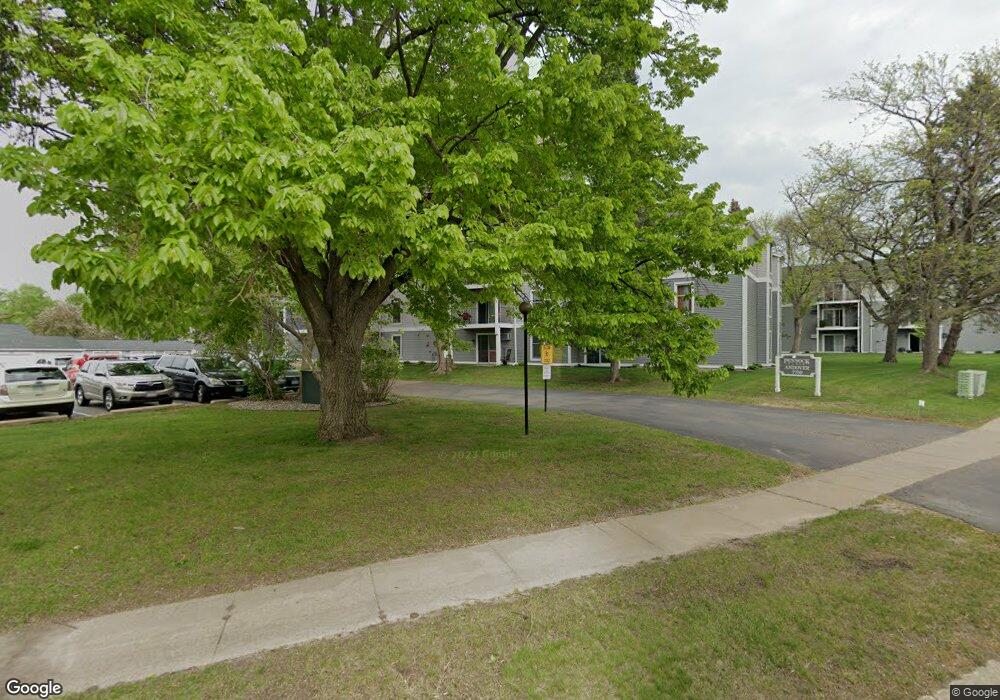
7759 142nd St W Unit 202A Saint Paul, MN 55124
Downtown Apple Valley NeighborhoodEstimated Value: $156,104 - $192,000
2
Beds
1
Bath
956
Sq Ft
$184/Sq Ft
Est. Value
About This Home
This home is located at 7759 142nd St W Unit 202A, Saint Paul, MN 55124 and is currently estimated at $176,276, approximately $184 per square foot. 7759 142nd St W Unit 202A is a home located in Dakota County with nearby schools including Westview Elementary School, Valley Middle School, and Apple Valley Senior High School.
Ownership History
Date
Name
Owned For
Owner Type
Purchase Details
Closed on
Apr 22, 2004
Sold by
Vo Thuy Long and Vo Bachthuy Truong
Bought by
Chirico David
Current Estimated Value
Purchase Details
Closed on
Jan 30, 2002
Sold by
Anderson Daniel A and Anderson Sheridan L
Bought by
Vo Bachthuy Tuong and Vo Thuy Long
Purchase Details
Closed on
Jun 23, 1998
Sold by
Bartels Carol R
Bought by
Anderson Daniel A and Lauderbaugh Sheridan L
Create a Home Valuation Report for This Property
The Home Valuation Report is an in-depth analysis detailing your home's value as well as a comparison with similar homes in the area
Home Values in the Area
Average Home Value in this Area
Purchase History
| Date | Buyer | Sale Price | Title Company |
|---|---|---|---|
| Chirico David | $114,900 | -- | |
| Vo Bachthuy Tuong | $96,000 | -- | |
| Anderson Daniel A | $57,500 | -- |
Source: Public Records
Tax History Compared to Growth
Tax History
| Year | Tax Paid | Tax Assessment Tax Assessment Total Assessment is a certain percentage of the fair market value that is determined by local assessors to be the total taxable value of land and additions on the property. | Land | Improvement |
|---|---|---|---|---|
| 2024 | $1,556 | $143,900 | $13,300 | $130,600 |
| 2023 | $1,376 | $137,200 | $12,700 | $124,500 |
| 2022 | $1,348 | $129,400 | $11,900 | $117,500 |
| 2021 | $1,332 | $115,700 | $11,300 | $104,400 |
| 2020 | $1,180 | $111,900 | $10,900 | $101,000 |
| 2019 | $1,044 | $96,000 | $9,300 | $86,700 |
| 2018 | $919 | $88,700 | $8,900 | $79,800 |
| 2017 | $839 | $74,600 | $7,500 | $67,100 |
| 2016 | $798 | $64,500 | $6,500 | $58,000 |
| 2015 | $639 | $60,600 | $6,100 | $54,500 |
| 2014 | -- | $48,900 | $4,900 | $44,000 |
| 2013 | -- | $48,000 | $4,800 | $43,200 |
Source: Public Records
Map
Nearby Homes
- 7662 142nd St W
- 14242 Glencove Trail
- 14115 Pennock Ave Unit 301
- 14115 Pennock Ave Unit 303
- 13780 Hanover Way
- 7577 138th St W
- 13868 Glendale Ct
- 13720 Georgia Dr
- 13715 Grafton Ct
- 13902 Herald Way
- 13910 Herald Ct
- 14208 Heritage Ln
- 14620 Garrett Ave Unit 310
- 14620 Garrett Ave Unit 104
- 14132 Heywood Path
- 14786 Hallmark Dr
- 13420 Gull Ct
- 14350 Hickory Way
- 14461 Freesia Way
- 14115 Foxtail Ln
- 7759 142nd St W Unit 308A
- 7759 142nd St W Unit 307A
- 7759 142nd St W Unit 306A
- 7759 142nd St W Unit 305A
- 7759 142nd St W Unit 304A
- 7759 142nd St W Unit 303A
- 7759 142nd St W Unit 302A
- 7759 142nd St W Unit 301A
- 7759 142nd St W Unit 208A
- 7759 142nd St W Unit 207A
- 7759 142nd St W Unit 206A
- 7759 142nd St W Unit 205A
- 7759 142nd St W Unit 204A
- 7759 142nd St W Unit 203A
- 7759 142nd St W Unit 201A
- 7759 142nd St W Unit 108A
- 7759 142nd St W Unit 107A
- 7759 142nd St W Unit 106A
- 7759 142nd St W Unit 104A
- 7759 142nd St W Unit 103A