777 Deming Rd Fleming, OH 45729
Estimated Value: $239,000 - $383,000
4
Beds
2
Baths
2,324
Sq Ft
$128/Sq Ft
Est. Value
About This Home
This home is located at 777 Deming Rd, Fleming, OH 45729 and is currently estimated at $296,707, approximately $127 per square foot. 777 Deming Rd is a home with nearby schools including Warren High School.
Ownership History
Date
Name
Owned For
Owner Type
Purchase Details
Closed on
Oct 7, 2014
Sold by
Mueller Lisa M and Mayle Scott A
Bought by
Mayle Lisa Marie and The Lisa Marie Mayle Estate Planning Tru
Current Estimated Value
Purchase Details
Closed on
Sep 24, 2007
Sold by
Mueller Andrew James and Kesterson Lisa Marie
Bought by
Mueller Lisa M
Home Financials for this Owner
Home Financials are based on the most recent Mortgage that was taken out on this home.
Original Mortgage
$86,500
Interest Rate
6.66%
Mortgage Type
New Conventional
Create a Home Valuation Report for This Property
The Home Valuation Report is an in-depth analysis detailing your home's value as well as a comparison with similar homes in the area
Home Values in the Area
Average Home Value in this Area
Purchase History
| Date | Buyer | Sale Price | Title Company |
|---|---|---|---|
| Mayle Lisa Marie | -- | Attorney | |
| Mueller Lisa M | -- | Attorney |
Source: Public Records
Mortgage History
| Date | Status | Borrower | Loan Amount |
|---|---|---|---|
| Closed | Mueller Lisa M | $86,500 |
Source: Public Records
Tax History Compared to Growth
Tax History
| Year | Tax Paid | Tax Assessment Tax Assessment Total Assessment is a certain percentage of the fair market value that is determined by local assessors to be the total taxable value of land and additions on the property. | Land | Improvement |
|---|---|---|---|---|
| 2024 | $2,191 | $55,240 | $7,880 | $47,360 |
| 2023 | $2,191 | $55,240 | $7,880 | $47,360 |
| 2022 | $2,195 | $55,240 | $7,880 | $47,360 |
| 2021 | $2,125 | $51,820 | $6,550 | $45,270 |
| 2020 | $2,123 | $51,820 | $6,550 | $45,270 |
| 2019 | $2,107 | $51,820 | $6,550 | $45,270 |
| 2018 | $2,019 | $48,490 | $5,180 | $43,310 |
Source: Public Records
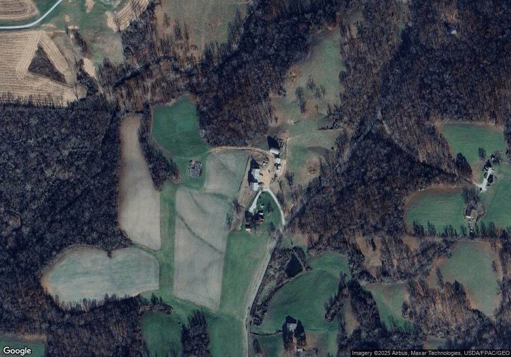
Map
Nearby Homes
- 1998 Reese Rd
- 10507 Ohio 339
- 10270 Ohio 550
- 0 Fisher Ridge Rd
- 11584 State Route 339
- 0 Layman Rd Unit 5162075
- 0 Layman Rd Unit 5162072
- 0 Fisher Ridge Rd Tract 1
- 0 Fisher Ridge Rd Tract 2
- 6570 State Route 339
- 2425 Rocky Point Rd
- 0 Fisher Ridge Rd Tract 5
- 0 Fisher Ridge Rd Tract 6
- 0 Fisher Ridge Rd Tract 7
- 545 Lewis Pointe Dr
- 1015 Brackenridge Rd
- 735 Timberline Dr
- 120 Fleming Dr
- 641 Warren Chapel Rd
- 171 Veto Cir
- 620 Deming Rd
- 940 Deming Rd
- 1098 Deming Rd
- 9584 State Route 339
- 1120 Deming Rd
- 9584 Ohio 339
- 1208 Deming Rd
- 328 Deming Rd
- 309 Deming Rd
- 9580 State Route 339
- 9580 State Route 339
- 9580 Ohio 339
- 239 Deming Rd
- 9708 State Route 339
- 9560 State Route 339
- 9740 State Route 339
- 9650 State Route 339
- 1450 Deming Rd
- 9610 State Route 339
- 9700 State Route 339