Estimated Value: $168,000 - $367,125
3
Beds
3
Baths
1,820
Sq Ft
$144/Sq Ft
Est. Value
About This Home
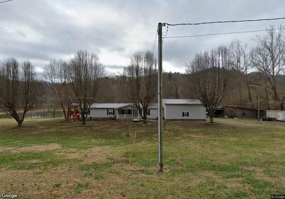
This home is located at 777 Sandy Bottom Rd, Erwin, TN 37650 and is currently estimated at $262,281, approximately $144 per square foot. 777 Sandy Bottom Rd is a home located in Unicoi County with nearby schools including Unicoi Community Learning Center, Love Chapel Elementary School, and Unicoi County Middle School.
Ownership History
Date
Name
Owned For
Owner Type
Purchase Details
Closed on
Sep 30, 2008
Sold by
Hurley Kermit Gene
Bought by
Etcher Stephen H
Current Estimated Value
Home Financials for this Owner
Home Financials are based on the most recent Mortgage that was taken out on this home.
Original Mortgage
$114,900
Outstanding Balance
$75,133
Interest Rate
6.34%
Estimated Equity
$187,148
Purchase Details
Closed on
Oct 31, 2007
Bought by
Hurley Brenda Foster Etvir Kermit Gene
Create a Home Valuation Report for This Property
The Home Valuation Report is an in-depth analysis detailing your home's value as well as a comparison with similar homes in the area
Purchase History
| Date | Buyer | Sale Price | Title Company |
|---|---|---|---|
| Etcher Stephen H | $144,900 | -- | |
| Hurley Brenda Foster Etvir Kermit Gene | -- | -- |
Source: Public Records
Mortgage History
| Date | Status | Borrower | Loan Amount |
|---|---|---|---|
| Open | Hurley Brenda Foster Etvir Kermit Gene | $114,900 |
Source: Public Records
Tax History
| Year | Tax Paid | Tax Assessment Tax Assessment Total Assessment is a certain percentage of the fair market value that is determined by local assessors to be the total taxable value of land and additions on the property. | Land | Improvement |
|---|---|---|---|---|
| 2025 | $998 | $38,225 | $10,575 | $27,650 |
| 2024 | $998 | $38,225 | $10,575 | $27,650 |
| 2023 | $0 | $38,225 | $0 | $0 |
| 2022 | $898 | $38,225 | $10,575 | $27,650 |
| 2021 | $1,023 | $35,850 | $10,575 | $25,275 |
| 2020 | $962 | $35,850 | $10,575 | $25,275 |
| 2019 | $962 | $35,850 | $10,575 | $25,275 |
| 2018 | $832 | $35,850 | $10,575 | $25,275 |
| 2017 | $832 | $31,000 | $10,575 | $20,425 |
| 2016 | $843 | $31,425 | $10,600 | $20,825 |
| 2015 | $1,183 | $31,425 | $0 | $0 |
| 2014 | $1,183 | $31,425 | $0 | $0 |
Source: Public Records
Map
Nearby Homes
- 205 Polly Erwin Rd
- 102 Tolley Ln
- Tbd Ray Kegley Rd
- Tbd Garland Meadows Ln
- Lot 3 Ray Kegley Rd
- Tbd Ray Kegley Rd
- Lot 4 Bailey Hollow Rd
- 80 Jones Rd
- 154 Horton Ridge Rd
- 101 Spar Mill Rd
- Tbd Old Highway Rd
- 102 Sycamore and 602 Monroe St
- 206 Sycamore St
- 134 Parsley St
- 631 S Elm Ave
- 120 Ervin Loop
- 144 Ervin Loop
- 511 Coffee St
- 524 Carolina Ave
- 639 Ohio Ave
- 778 Sandy Bottom Rd
- 778 Sandy Bottom Rd
- 301 Blue Stone Trace
- 760 Sandy Bottom Rd
- 311 Blue Stone Trace
- 215 Polly Erwin Cemetery Rd
- 734 Sandy Bottom Rd
- 875 Sandy Bottom Rd
- 210 McInturff Ln
- 201 Polly Erwin Cemetery Rd
- 515 Polly Erwin Rd
- 603 Sandy Bottom Rd
- 165 Polly Erwin Cemetery Rd
- 556 Sandy Bottom Rd
- 532 Sandy Bottom Rd
- 532 Sandy Bottom Rd
- 532 Sandy Bottom Rd
- 532 Sandy Bottom Rd
- 532 Sandy Bottom Rd
- 530 Sandy Bottom Rd
Your Personal Tour Guide
Ask me questions while you tour the home.